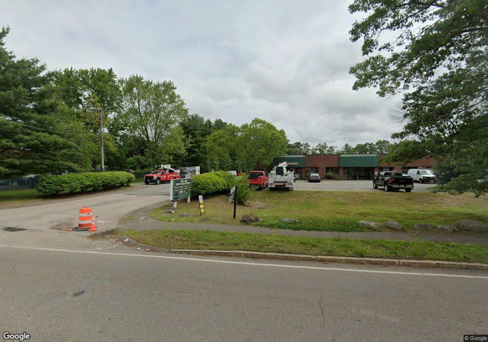
412 High Plain St Unit 15 Walpole, MA 02081
Estimated Value: $288,783
Studio
--
Bath
1,595
Sq Ft
$181/Sq Ft
Est. Value
About This Home
This home is located at 412 High Plain St Unit 15, Walpole, MA 02081 and is currently estimated at $288,783, approximately $181 per square foot. 412 High Plain St Unit 15 is a home located in Norfolk County with nearby schools including Old Post Road School, Walpole Middle School, and Walpole High School.
Ownership History
Date
Name
Owned For
Owner Type
Purchase Details
Closed on
Jul 6, 2017
Sold by
Longley Fletcher and Dinkel Sanne
Bought by
486 High Plain Rlty Co
Current Estimated Value
Home Financials for this Owner
Home Financials are based on the most recent Mortgage that was taken out on this home.
Original Mortgage
$144,000
Outstanding Balance
$119,837
Interest Rate
3.95%
Mortgage Type
Commercial
Estimated Equity
$169,729
Purchase Details
Closed on
Nov 24, 2014
Sold by
Fera Vincenzo and Fera Francesca
Bought by
Catanese 3Rd Peter
Purchase Details
Closed on
Oct 15, 1999
Sold by
Plain Street Rt
Bought by
Dallyzoots T
Home Financials for this Owner
Home Financials are based on the most recent Mortgage that was taken out on this home.
Original Mortgage
$545,000
Interest Rate
7.8%
Mortgage Type
Purchase Money Mortgage
Purchase Details
Closed on
Jun 30, 1999
Sold by
Fisher John R
Bought by
Longley Fletcher
Purchase Details
Closed on
Jan 5, 1994
Sold by
Plain St Rt
Bought by
Longley Fletcher
Purchase Details
Closed on
Jun 3, 1992
Sold by
Plain St Rt
Bought by
Paparazzo Anthony J
Purchase Details
Closed on
Nov 4, 1991
Sold by
Foley William G
Bought by
Hayward Eugene F
Purchase Details
Closed on
Sep 24, 1991
Sold by
Foley Tr William G
Bought by
Labarge Ernest P and Marie Labarge A
Purchase Details
Closed on
Jun 8, 1990
Sold by
Connor Tr J Robt
Bought by
Mcelroy D Edward
Purchase Details
Closed on
Apr 27, 1990
Sold by
Connor Tr J Robert
Bought by
Hayward Eugene F
Purchase Details
Closed on
Nov 8, 1989
Sold by
Plain St Rt
Bought by
Anchor Rt
Purchase Details
Closed on
May 12, 1989
Sold by
Connor Tr J Robert
Bought by
Caggiano Stephen
Purchase Details
Closed on
May 10, 1989
Sold by
Connor Tr Robert J
Bought by
V & M Rt
Create a Home Valuation Report for This Property
The Home Valuation Report is an in-depth analysis detailing your home's value as well as a comparison with similar homes in the area
Home Values in the Area
Average Home Value in this Area
Purchase History
| Date | Buyer | Sale Price | Title Company |
|---|---|---|---|
| 486 High Plain Rlty Co | $180,000 | -- | |
| Catanese 3Rd Peter | $150,000 | -- | |
| Dallyzoots T | $795,720 | -- | |
| Longley Fletcher | $93,000 | -- | |
| Longley Fletcher | $124,000 | -- | |
| Paparazzo Anthony J | $320,000 | -- | |
| Hayward Eugene F | $143,000 | -- | |
| Labarge Ernest P | $180,000 | -- | |
| Mcelroy D Edward | $166,300 | -- | |
| Hayward Eugene F | $162,200 | -- | |
| Anchor Rt | $152,000 | -- | |
| Caggiano Stephen | $132,120 | -- | |
| V & M Rt | $199,440 | -- |
Source: Public Records
Mortgage History
| Date | Status | Borrower | Loan Amount |
|---|---|---|---|
| Open | 486 High Plain Rlty Co | $144,000 | |
| Previous Owner | V & M Rt | $545,000 |
Source: Public Records
Tax History
| Year | Tax Paid | Tax Assessment Tax Assessment Total Assessment is a certain percentage of the fair market value that is determined by local assessors to be the total taxable value of land and additions on the property. | Land | Improvement |
|---|---|---|---|---|
| 2025 | $2,965 | $171,000 | $0 | $171,000 |
| 2024 | $3,376 | $188,600 | $0 | $188,600 |
| 2023 | $3,476 | $188,700 | $0 | $188,700 |
| 2022 | $3,463 | $180,200 | $0 | $180,200 |
| 2021 | $3,358 | $170,300 | $0 | $170,300 |
| 2020 | $3,298 | $165,400 | $0 | $165,400 |
| 2019 | $3,321 | $165,400 | $0 | $165,400 |
| 2018 | $2,934 | $144,300 | $0 | $144,300 |
| 2017 | $2,890 | $141,600 | $0 | $141,600 |
| 2016 | $2,784 | $134,300 | $0 | $134,300 |
| 2015 | $2,660 | $127,100 | $0 | $127,100 |
| 2014 | $2,609 | $124,000 | $0 | $124,000 |
Source: Public Records
Map
Nearby Homes
- 1 Providence Hwy
- 1 Palace Ct
- 486 Washington St
- 363 - 367 Washington St
- Unit 11 Powder House Ln Unit 11
- 8 Powder House Ln Unit 2
- Unit 12 Powder House Ln Unit 12
- Unit 3 Powder House Ln Unit 3
- 635 Old Post Rd Unit 303
- 635 Old Post Rd Unit 302
- 635 Old Post Rd Unit 2-203
- 37 Alice Ave
- 587 Common St
- 0 U S Route 1
- 277 Everett St
- 6 Eleanor Rd
- 272 Union St Unit 272
- 224 School St Unit 9
- 222 School St Unit 9
- 0 Charlotte Rd
- 426 High Plain St
- 438 High Plain St
- 422 High Plain St
- 434 High Plain St Unit 434
- 450 High Plain St
- 390 High Plain St
- 393 High Plain St
- 382 High Plain St
- 387 High Plain St
- 7 Wompatuck Rd
- 407 High Plain St
- 482 High Plain St
- 4 High Plain Terrace
- 380 High Plain St
- 5 Wompatuck Rd
- 9 Wompatuck Rd
- 371 High Plain St
- 555 Boston Hwy
- 8 High Plain Terrace
- 11 Wompatuck Rd
Your Personal Tour Guide
Ask me questions while you tour the home.