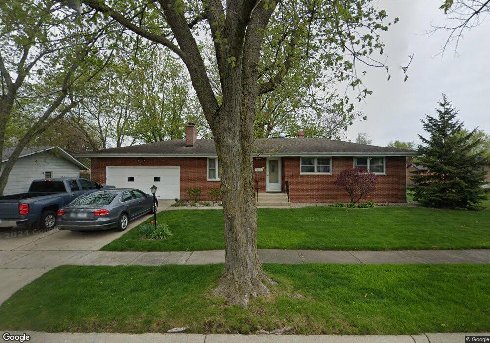
412 Martin Dr Crown Point, IN 46307
Estimated Value: $294,762 - $327,000
3
Beds
3
Baths
1,207
Sq Ft
$257/Sq Ft
Est. Value
About This Home
This home is located at 412 Martin Dr, Crown Point, IN 46307 and is currently estimated at $309,691, approximately $256 per square foot. 412 Martin Dr is a home located in Lake County with nearby schools including Lake Street Elementary School, Robert Taft Middle School, and Crown Point High School.
Ownership History
Date
Name
Owned For
Owner Type
Purchase Details
Closed on
Jul 6, 2007
Sold by
Schramm Ruth B
Bought by
Budgin Barry D and Budgin James A
Current Estimated Value
Home Financials for this Owner
Home Financials are based on the most recent Mortgage that was taken out on this home.
Original Mortgage
$151,900
Outstanding Balance
$93,199
Interest Rate
6.42%
Mortgage Type
Purchase Money Mortgage
Estimated Equity
$216,492
Create a Home Valuation Report for This Property
The Home Valuation Report is an in-depth analysis detailing your home's value as well as a comparison with similar homes in the area
Home Values in the Area
Average Home Value in this Area
Purchase History
| Date | Buyer | Sale Price | Title Company |
|---|---|---|---|
| Budgin Barry D | -- | Metropolitan |
Source: Public Records
Mortgage History
| Date | Status | Borrower | Loan Amount |
|---|---|---|---|
| Open | Budgin Barry D | $151,900 |
Source: Public Records
Tax History
| Year | Tax Paid | Tax Assessment Tax Assessment Total Assessment is a certain percentage of the fair market value that is determined by local assessors to be the total taxable value of land and additions on the property. | Land | Improvement |
|---|---|---|---|---|
| 2025 | $2,448 | $264,500 | $43,100 | $221,400 |
| 2024 | $6,052 | $243,200 | $43,100 | $200,100 |
| 2023 | $2,328 | $220,200 | $43,100 | $177,100 |
| 2022 | $2,328 | $210,800 | $43,100 | $167,700 |
| 2021 | $2,258 | $204,600 | $34,000 | $170,600 |
| 2020 | $2,237 | $202,800 | $34,000 | $168,800 |
| 2019 | $2,193 | $195,000 | $34,000 | $161,000 |
| 2018 | $2,324 | $187,200 | $34,000 | $153,200 |
| 2017 | $2,287 | $183,300 | $34,000 | $149,300 |
| 2016 | $2,205 | $176,200 | $34,000 | $142,200 |
| 2014 | $1,952 | $170,500 | $34,000 | $136,500 |
| 2013 | $1,889 | $165,200 | $34,000 | $131,200 |
Source: Public Records
Map
Nearby Homes
- 437 Fairview Ave
- 512 W South St
- 629 W South St
- 123 Elmwood Place
- 109 Elmwood Place
- 314 Hoffman Ct
- 487 S East St
- 430 S East St
- 817 Mary Ellen Dr
- 460 O'Hagan Dr
- 138 S Chase Dr
- 0 W Joliet St
- 114 S Chase Dr
- 121 N West St Unit 22
- 512 W Joliet St
- 780 Williams Ct
- 741 Pettibone St
- 619 W North St
- 903 S Main St
- 600 W North St
- 414 Martin Dr
- 406 Martin Dr
- 431 Fairview Ave
- 404 Martin Dr
- 433 Fairview Ave
- 416 Martin Dr
- 415 Martin Dr
- 429 Fairview Ave
- 413 Martin Dr
- 435 Fairview Ave
- 419 Martin Dr
- 409 Martin Dr
- 418 Martin Dr
- 421 Martin Dr
- 403 Martin Dr
- 405 Martin Dr
- 432 Fairview Ave
- 430 Fairview Ave
- 434 Fairview Ave
- 427 Fairview Ave
Your Personal Tour Guide
Ask me questions while you tour the home.