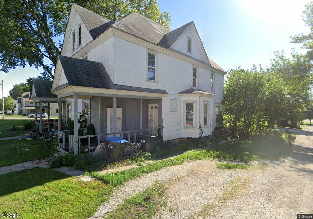
412 N 10th St Unit 410 Fort Dodge, IA 50501
Estimated Value: $63,000 - $164,000
3
Beds
1
Bath
1,340
Sq Ft
$88/Sq Ft
Est. Value
About This Home
This home is located at 412 N 10th St Unit 410, Fort Dodge, IA 50501 and is currently estimated at $117,439, approximately $87 per square foot. 412 N 10th St Unit 410 is a home located in Webster County with nearby schools including Feelhaver Elementary School, Fort Dodge Middle School, and Fort Dodge Senior High School.
Ownership History
Date
Name
Owned For
Owner Type
Purchase Details
Closed on
Nov 19, 2024
Sold by
Davis Angela
Bought by
Marlow Brian and Marlow Megan
Current Estimated Value
Home Financials for this Owner
Home Financials are based on the most recent Mortgage that was taken out on this home.
Original Mortgage
$106,750
Outstanding Balance
$105,831
Interest Rate
6.88%
Mortgage Type
New Conventional
Estimated Equity
$11,608
Purchase Details
Closed on
Dec 14, 2020
Sold by
Bickford William L and Bickford Diane L
Bought by
Bickford Brooke A
Purchase Details
Closed on
Dec 10, 2020
Sold by
Bickford Brooke A
Bought by
Motion Mountains Llc
Purchase Details
Closed on
May 10, 2017
Sold by
Vonsak Joe and Vonsak Barb
Bought by
Bickford William L and Bickford Diane L
Create a Home Valuation Report for This Property
The Home Valuation Report is an in-depth analysis detailing your home's value as well as a comparison with similar homes in the area
Home Values in the Area
Average Home Value in this Area
Purchase History
| Date | Buyer | Sale Price | Title Company |
|---|---|---|---|
| Marlow Brian | $152,500 | None Listed On Document | |
| Marlow Brian | $152,500 | None Listed On Document | |
| Bickford Brooke A | $30,000 | None Listed On Document | |
| Motion Mountains Llc | $8,500 | None Available | |
| Bickford William L | $30,000 | None Available |
Source: Public Records
Mortgage History
| Date | Status | Borrower | Loan Amount |
|---|---|---|---|
| Open | Marlow Brian | $106,750 | |
| Closed | Marlow Brian | $106,750 |
Source: Public Records
Tax History Compared to Growth
Tax History
| Year | Tax Paid | Tax Assessment Tax Assessment Total Assessment is a certain percentage of the fair market value that is determined by local assessors to be the total taxable value of land and additions on the property. | Land | Improvement |
|---|---|---|---|---|
| 2025 | $1,221 | $67,930 | $5,390 | $62,540 |
| 2024 | $12 | $48,170 | $5,390 | $42,780 |
| 2023 | $1,122 | $48,170 | $5,390 | $42,780 |
| 2022 | $1,088 | $45,890 | $5,390 | $40,500 |
| 2021 | $1,134 | $45,890 | $5,390 | $40,500 |
| 2020 | $1,134 | $45,450 | $5,390 | $40,060 |
| 2019 | $1,032 | $44,760 | $6,330 | $38,430 |
| 2018 | $1,808 | $40,690 | $5,750 | $34,940 |
| 2017 | $1,808 | $77,380 | $0 | $0 |
| 2016 | $1,942 | $77,380 | $0 | $0 |
| 2015 | $1,942 | $77,384 | $0 | $0 |
| 2014 | $1,902 | $77,384 | $0 | $0 |
Source: Public Records
Map
Nearby Homes
- 817 7th Ave N
- 1237 7th Ave N
- 1243 7th Ave N
- 916 Williams Dr
- 1402 4th Ave N
- 833 Northwood Ave
- 1132 Summit Ave
- 1406 1st Ave N
- 1423 5th Ave N
- 1327 8th Ave N
- 1008 Forest Ave
- 1040 Forest Ave
- Lot #5 Ftd Diersen 2nd Addition
- LOT 2 Ftd Diersen Add
- lot 3 Ftd Diersen 2nd Add
- 1526 3rd Ave N
- Regency West Ct Place
- Parcel 0727226004
- Parcel 0727226005
- Parcel 0727226007