412 Post Rd, Unit 272 Wells, ME 04090
Estimated Value: $286,000 - $297,000
2
Beds
1
Bath
605
Sq Ft
$484/Sq Ft
Est. Value
About This Home
This home is located at 412 Post Rd Unit 272, Wells, ME 04090 and is currently estimated at $292,907, approximately $484 per square foot. 412 Post Rd Unit 272 is a home located in York County with nearby schools including Wells Junior High School, Wells Elementary School, and Wells High School.
Ownership History
Date
Name
Owned For
Owner Type
Purchase Details
Closed on
Apr 21, 2025
Sold by
King William F and King Catherine P
Bought by
King Ret and King
Current Estimated Value
Purchase Details
Closed on
Apr 29, 2008
Sold by
Seal Harbor Llc
Bought by
King William F and King Catherine P
Home Financials for this Owner
Home Financials are based on the most recent Mortgage that was taken out on this home.
Original Mortgage
$70,000
Interest Rate
3.88%
Mortgage Type
Purchase Money Mortgage
Create a Home Valuation Report for This Property
The Home Valuation Report is an in-depth analysis detailing your home's value as well as a comparison with similar homes in the area
Home Values in the Area
Average Home Value in this Area
Purchase History
| Date | Buyer | Sale Price | Title Company |
|---|---|---|---|
| King Ret | -- | None Available | |
| King Ret | -- | None Available | |
| King Ret | -- | None Available | |
| King William F | -- | -- | |
| King William F | -- | -- |
Source: Public Records
Mortgage History
| Date | Status | Borrower | Loan Amount |
|---|---|---|---|
| Previous Owner | King William F | $70,000 |
Source: Public Records
Tax History
| Year | Tax Paid | Tax Assessment Tax Assessment Total Assessment is a certain percentage of the fair market value that is determined by local assessors to be the total taxable value of land and additions on the property. | Land | Improvement |
|---|---|---|---|---|
| 2025 | $1,737 | $268,810 | $126,490 | $142,320 |
| 2024 | $1,634 | $268,810 | $126,490 | $142,320 |
| 2023 | $1,602 | $268,810 | $126,490 | $142,320 |
| 2022 | $1,312 | $125,400 | $57,490 | $67,910 |
| 2021 | $1,319 | $125,400 | $57,490 | $67,910 |
| 2020 | $1,314 | $125,400 | $57,490 | $67,910 |
| 2019 | $1,307 | $125,400 | $57,490 | $67,910 |
| 2018 | $1,294 | $125,400 | $57,490 | $67,910 |
| 2017 | $1,274 | $125,400 | $57,490 | $67,910 |
| 2016 | $1,262 | $125,400 | $57,490 | $67,910 |
| 2015 | $1,248 | $125,400 | $57,490 | $67,910 |
| 2013 | $1,144 | $125,400 | $57,490 | $67,910 |
Source: Public Records
About This Building
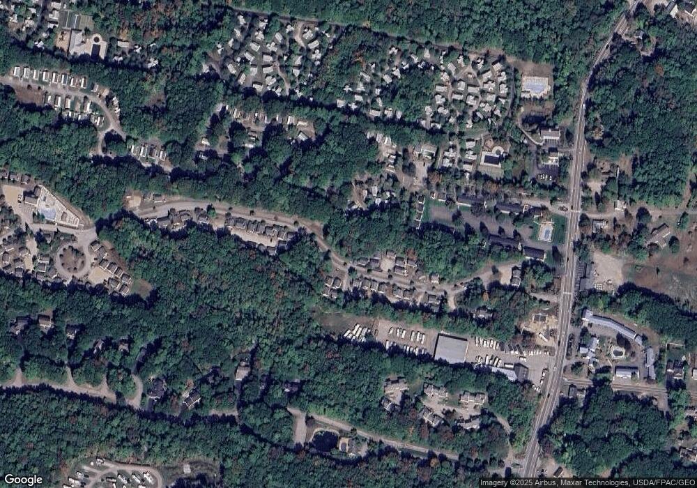
Map
Nearby Homes
- 412 Post Rd Unit 304
- 430 Post Rd Unit 320
- 430 Post Rd Unit 181
- 430 Post Rd Unit 256
- 430 Post Rd Unit 177
- 430 Post Rd Unit 40
- 430 Post Rd Unit 184
- 430 Post Rd Unit 186
- 430 Post Rd Unit 55
- 430 Post Rd Unit 47
- 430 Post Rd Unit 323
- 430 Post Rd Unit 327
- 430 Post Rd Unit 325
- 454 Post Rd Unit 305
- 454 Post Rd Unit 119
- 525 Post Rd
- 49 Chickadee Ln
- 37 Chickadee Ln
- 1 Old County Rd Unit 155
- 620 Post Rd Unit 20
- 412 Post Rd Unit D5
- 412 Post Rd Unit D3
- 412 Post Rd Unit D2
- 412 Post Rd Unit C1
- 412 Post Rd Unit 305
- 412 Post Rd Unit 295
- 412 Post Rd Unit 291
- 412 Post Rd Unit 290
- 412 Post Rd Unit 318
- 412 Post Rd Unit S1
- 412 Post Rd Unit C3
- 412 Post Rd Unit C2
- 412 Post Rd Unit 316
- 412 Post Rd Unit 315
- 412 Post Rd Unit 314
- 412 Post Rd Unit 313
- 412 Post Rd Unit 312
- 412 Post Rd Unit 311
- 412 Post Rd Unit 310
- 412 Post Rd Unit 309
Your Personal Tour Guide
Ask me questions while you tour the home.