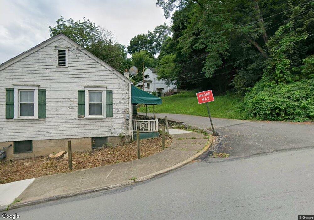
412 Vandergrift Ln East Vandergrift, PA 15629
Estimated Value: $68,000 - $97,631
--
Bed
--
Bath
996
Sq Ft
$81/Sq Ft
Est. Value
About This Home
This home is located at 412 Vandergrift Ln, East Vandergrift, PA 15629 and is currently estimated at $80,658, approximately $80 per square foot. 412 Vandergrift Ln is a home with nearby schools including Kiski Area High School.
Ownership History
Date
Name
Owned For
Owner Type
Purchase Details
Closed on
Nov 5, 2020
Sold by
Sunnyside Realty Llc
Bought by
Kiski Valley Properties Llc
Current Estimated Value
Purchase Details
Closed on
Aug 21, 2009
Sold by
Klingensmith David M
Bought by
Sunnyside Realty Llc
Purchase Details
Closed on
Jan 13, 2009
Sold by
Apollo Trust Company
Bought by
Klingensmith David M
Purchase Details
Closed on
Nov 21, 2008
Sold by
Mcdermott Mark D
Bought by
Apollo Trust Company
Create a Home Valuation Report for This Property
The Home Valuation Report is an in-depth analysis detailing your home's value as well as a comparison with similar homes in the area
Home Values in the Area
Average Home Value in this Area
Purchase History
| Date | Buyer | Sale Price | Title Company |
|---|---|---|---|
| Kiski Valley Properties Llc | $100,000 | None Available | |
| Sunnyside Realty Llc | $11,000 | None Available | |
| Klingensmith David M | $11,000 | None Available | |
| Apollo Trust Company | $3,002 | None Available |
Source: Public Records
Tax History Compared to Growth
Tax History
| Year | Tax Paid | Tax Assessment Tax Assessment Total Assessment is a certain percentage of the fair market value that is determined by local assessors to be the total taxable value of land and additions on the property. | Land | Improvement |
|---|---|---|---|---|
| 2025 | $590 | $3,710 | $500 | $3,210 |
| 2024 | $562 | $3,710 | $500 | $3,210 |
| 2023 | $509 | $3,710 | $500 | $3,210 |
| 2022 | $490 | $3,710 | $500 | $3,210 |
| 2021 | $490 | $3,710 | $500 | $3,210 |
| 2020 | $489 | $3,710 | $500 | $3,210 |
| 2019 | $487 | $3,710 | $500 | $3,210 |
| 2018 | $480 | $3,710 | $500 | $3,210 |
| 2017 | $469 | $3,710 | $500 | $3,210 |
| 2016 | $462 | $3,710 | $500 | $3,210 |
| 2015 | $462 | $3,710 | $500 | $3,210 |
| 2014 | $459 | $3,710 | $500 | $3,210 |
Source: Public Records
Map
Nearby Homes
- 419 Vandergrift Ln
- 325 -1/2 Quay St
- 404 1/2 Franklin Ave
- 608 Kennedy Ave
- 219 Quay St
- 716 Kennedy Ave
- 154 Jefferson Ave Unit 6
- 121 Hamilton Ave
- 314 Linden St
- 311 Elm St
- 112 Farragut Ave Unit 3
- 315 Spruce St
- 129 Franklin Ave
- 107 Sumner Ave
- 2106 River Rd
- 137 Sherman Ave
- 133 Sherman Ave
- 323 Sycamore St
- 800 Wallace St
- 1805 Moore Ave