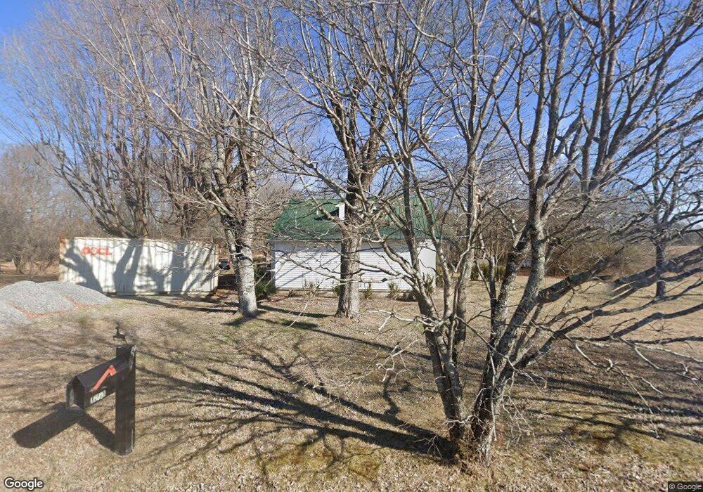
412 Whitson Rd Bethpage, TN 37022
Bethpage NeighborhoodEstimated Value: $182,000 - $340,000
--
Bed
1
Bath
1,488
Sq Ft
$183/Sq Ft
Est. Value
About This Home
This home is located at 412 Whitson Rd, Bethpage, TN 37022 and is currently estimated at $272,396, approximately $183 per square foot. 412 Whitson Rd is a home located in Sumner County with nearby schools including Bethpage Elementary School and Westmoreland High School.
Ownership History
Date
Name
Owned For
Owner Type
Purchase Details
Closed on
Apr 16, 2024
Sold by
Latimer Jacob Ray
Bought by
Latimer Jacob Ray and Latimer Joshua T
Current Estimated Value
Home Financials for this Owner
Home Financials are based on the most recent Mortgage that was taken out on this home.
Original Mortgage
$164,465
Interest Rate
6.88%
Mortgage Type
FHA
Purchase Details
Closed on
Feb 3, 1997
Sold by
Hall Mary Gladys
Bought by
Dagley Judith C
Purchase Details
Closed on
Apr 7, 1995
Sold by
Hall H R
Bought by
Carr Charles
Create a Home Valuation Report for This Property
The Home Valuation Report is an in-depth analysis detailing your home's value as well as a comparison with similar homes in the area
Home Values in the Area
Average Home Value in this Area
Purchase History
| Date | Buyer | Sale Price | Title Company |
|---|---|---|---|
| Latimer Jacob Ray | -- | Highland Title | |
| Latimer Jacob Ray | $167,500 | Highland Title | |
| Dagley Judith C | -- | -- | |
| Carr Charles | $92,000 | -- |
Source: Public Records
Mortgage History
| Date | Status | Borrower | Loan Amount |
|---|---|---|---|
| Previous Owner | Latimer Jacob Ray | $164,465 |
Source: Public Records
Tax History Compared to Growth
Tax History
| Year | Tax Paid | Tax Assessment Tax Assessment Total Assessment is a certain percentage of the fair market value that is determined by local assessors to be the total taxable value of land and additions on the property. | Land | Improvement |
|---|---|---|---|---|
| 2024 | $853 | $60,050 | $21,150 | $38,900 |
| 2023 | $653 | $28,975 | $10,500 | $18,475 |
| 2022 | $655 | $28,975 | $10,500 | $18,475 |
| 2021 | $655 | $28,975 | $10,500 | $18,475 |
| 2020 | $655 | $28,975 | $10,500 | $18,475 |
| 2019 | $655 | $0 | $0 | $0 |
| 2018 | $413 | $0 | $0 | $0 |
| 2017 | $413 | $0 | $0 | $0 |
| 2016 | $413 | $0 | $0 | $0 |
| 2015 | -- | $0 | $0 | $0 |
| 2014 | -- | $0 | $0 | $0 |
Source: Public Records
Map
Nearby Homes
- 301 Bob Perry Rd
- 0 Whitson Rd
- 1629 Rock Bridge Rd
- 479 Cal Durham Rd
- 2309 W Mount Vernon Rd
- 1087 Mount Vernon Rd
- 5 Rock Bridge Rd
- 4 Rock Bridge Rd
- 3 Rock Bridge Rd
- 2 Rock Bridge Rd
- 417 Buttermilk Hollow Rd
- 450 Paul Thompson Rd
- 1 Rock Bridge Rd
- 0 Rock Bridge Rd Unit RTC2898496
- 534 Womack Rd
- 135 Ray Jent Rd
- 772 Rock Bridge Rd
- 173 Ray Jent Rd
- 0 Gil Hodges Rd
- 879 Rock Bridge Rd
- 411 Whitson Rd
- 407 Whitson Rd
- 1400 Smith Thompson Rd
- 103 James Whitefield Rd
- 401 Whitson Rd
- 115 James Whitefield Rd
- 358 Whitson Rd
- 395 Whitson Rd
- 110 Robert Neal Durham Rd
- 107 Robert Neal Durham Rd
- 120 Robert Neal Durham Rd
- 0 Robert Neal Durham Rd Unit 1689515
- 0 Robert Neal Durham Rd Unit RTC1457738
- 0 Robert Neal Durham Rd Unit RTC2596597
- 0 Robert Neal Durham Rd Unit 2245496
- 180 James Whitefield Rd
- 180 James Whitefield Rd
- 1374 Smith Thompson Rd
- 190 James Whitefield Rd
- 1370 Smith Thompson Rd