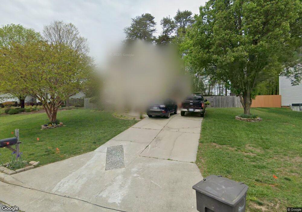
4122 Carroll Ridge Ct High Point, NC 27265
Bent Tree NeighborhoodEstimated Value: $280,000 - $299,000
3
Beds
9
Baths
1,540
Sq Ft
$191/Sq Ft
Est. Value
About This Home
This home is located at 4122 Carroll Ridge Ct, High Point, NC 27265 and is currently estimated at $293,631, approximately $190 per square foot. 4122 Carroll Ridge Ct is a home located in Guilford County with nearby schools including Southwest Elementary School, Southwest Guilford Middle School, and Southwest Guilford High School.
Ownership History
Date
Name
Owned For
Owner Type
Purchase Details
Closed on
Aug 27, 1998
Bought by
Taylor Randy
Current Estimated Value
Home Financials for this Owner
Home Financials are based on the most recent Mortgage that was taken out on this home.
Original Mortgage
$115,710
Outstanding Balance
$24,760
Interest Rate
6.92%
Mortgage Type
VA
Estimated Equity
$268,871
Create a Home Valuation Report for This Property
The Home Valuation Report is an in-depth analysis detailing your home's value as well as a comparison with similar homes in the area
Home Values in the Area
Average Home Value in this Area
Purchase History
| Date | Buyer | Sale Price | Title Company |
|---|---|---|---|
| Taylor Randy | $120,000 | -- |
Source: Public Records
Mortgage History
| Date | Status | Borrower | Loan Amount |
|---|---|---|---|
| Open | Taylor Randy | $115,710 |
Source: Public Records
Tax History Compared to Growth
Tax History
| Year | Tax Paid | Tax Assessment Tax Assessment Total Assessment is a certain percentage of the fair market value that is determined by local assessors to be the total taxable value of land and additions on the property. | Land | Improvement |
|---|---|---|---|---|
| 2025 | $2,471 | $179,300 | $44,000 | $135,300 |
| 2024 | $2,471 | $179,300 | $44,000 | $135,300 |
| 2023 | $2,471 | $179,300 | $44,000 | $135,300 |
| 2022 | $2,417 | $179,300 | $44,000 | $135,300 |
| 2021 | $1,958 | $142,100 | $35,000 | $107,100 |
| 2020 | $1,958 | $142,100 | $35,000 | $107,100 |
| 2019 | $1,958 | $142,100 | $0 | $0 |
| 2018 | $1,948 | $142,100 | $0 | $0 |
| 2017 | $1,958 | $142,100 | $0 | $0 |
| 2016 | $1,888 | $134,600 | $0 | $0 |
| 2015 | $1,832 | $129,900 | $0 | $0 |
| 2014 | $1,863 | $129,900 | $0 | $0 |
Source: Public Records
Map
Nearby Homes
- 1515 Skeet Club Rd
- 3007 Maple Branch Dr
- 3924 Braddock Rd
- Richmond Plan at Williard Place
- 3296 Alyssa Way
- Cameron Plan at Williard Place
- Southport Plan at Williard Place
- Columbia Plan at Williard Place
- Bailey Plan at Williard Place
- 3301 Alyssa Way
- 3525 Covent Oak Ct
- 3650 Single Leaf Ct
- 3273 Alyssa Way
- 3905 Wynne Brook Ct
- 3171 Riley Ford Trail Unit Lot 38
- 3199 Riley Ford Trail
- 3199 Riley Ford Trail Unit Lot 33
- 3171 Riley Ford Trail
- 4103 Quarterstaff Ct
- 4126 Birchgarden Dr
- 4120 Carroll Ridge Ct
- 4126 Carroll Ridge Ct
- 4118 Carroll Ridge Ct
- 4121 Carroll Ridge Ct
- 4128 Carroll Ridge Ct
- 4116 Carroll Ridge Ct
- 4123 Carroll Ridge Ct
- 4117 Carroll Ridge Ct
- 4127 Carroll Ridge Ct
- 4129 Carroll Ridge Ct
- 4112 Carroll Ridge Ct
- 4108 Carroll Ridge Ct
- 4122 Silver Fox Ct
- 4118 Silver Fox Ct
- 4114 Silver Fox Ct
- 4126 Silver Fox Ct
- 3301 Timberwolf Ave
- 4110 Silver Fox Ct
- 3303 Timberwolf Ave
- 4127 Silver Fox Ct