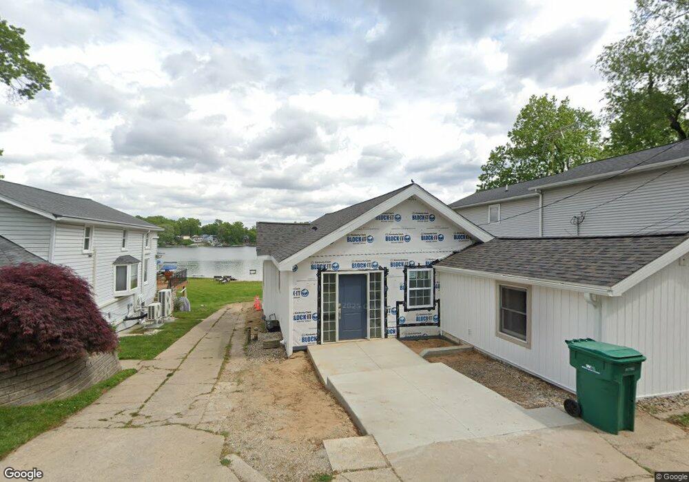
4122 Council Crest Cir Battle Creek, MI 49014
Estimated Value: $291,000 - $326,334
3
Beds
1
Bath
1,411
Sq Ft
$215/Sq Ft
Est. Value
About This Home
This home is located at 4122 Council Crest Cir, Battle Creek, MI 49014 and is currently estimated at $303,584, approximately $215 per square foot. 4122 Council Crest Cir is a home located in Calhoun County with nearby schools including Harper Creek Middle School and Harper Creek High School.
Ownership History
Date
Name
Owned For
Owner Type
Purchase Details
Closed on
Sep 28, 2022
Sold by
Sanford Mary E
Bought by
Cantrell Christopher Thomas and Cantrell Randee Rae
Current Estimated Value
Home Financials for this Owner
Home Financials are based on the most recent Mortgage that was taken out on this home.
Original Mortgage
$252,000
Outstanding Balance
$241,841
Interest Rate
5.66%
Mortgage Type
New Conventional
Estimated Equity
$61,743
Purchase Details
Closed on
Dec 14, 2011
Sold by
Sheehan Eileen A
Bought by
Sanford Mary E and Sheehan Eileen A
Purchase Details
Closed on
Aug 4, 1994
Create a Home Valuation Report for This Property
The Home Valuation Report is an in-depth analysis detailing your home's value as well as a comparison with similar homes in the area
Home Values in the Area
Average Home Value in this Area
Purchase History
| Date | Buyer | Sale Price | Title Company |
|---|---|---|---|
| Cantrell Christopher Thomas | $280,000 | -- | |
| Cantrell Christopher Thomas | $280,000 | None Listed On Document | |
| Sanford Mary E | -- | None Available | |
| -- | $85,500 | -- |
Source: Public Records
Mortgage History
| Date | Status | Borrower | Loan Amount |
|---|---|---|---|
| Open | Cantrell Christopher Thomas | $252,000 | |
| Closed | Cantrell Christopher Thomas | $252,000 |
Source: Public Records
Tax History Compared to Growth
Tax History
| Year | Tax Paid | Tax Assessment Tax Assessment Total Assessment is a certain percentage of the fair market value that is determined by local assessors to be the total taxable value of land and additions on the property. | Land | Improvement |
|---|---|---|---|---|
| 2025 | $8,642 | $149,940 | $0 | $0 |
| 2024 | $6,093 | $145,810 | $0 | $0 |
| 2023 | $3,118 | $139,370 | $0 | $0 |
| 2022 | $1,794 | $125,760 | $0 | $0 |
| 2021 | $2,938 | $92,650 | $0 | $0 |
| 2020 | $2,979 | $86,300 | $0 | $0 |
| 2019 | $0 | $85,200 | $0 | $0 |
| 2018 | $0 | $82,500 | $26,000 | $56,500 |
| 2017 | $2,563 | $82,900 | $0 | $0 |
| 2016 | $2,563 | $85,200 | $0 | $0 |
| 2015 | $1,620 | $84,400 | $1,801 | $82,599 |
| 2014 | $1,620 | $81,050 | $1,801 | $79,249 |
Source: Public Records
Map
Nearby Homes
- 159 Beadle Lake Dr
- 1055 Woodland Beach
- 1355 Middle Ln
- 2851 Kistler Rd
- 1375 Woodland Beach
- 167 Kistler Rd
- VL Beadle Lake Rd
- V/L Beadle Lake Rd
- 7722 C Dr N
- 1230 Golden Ave
- 207 Embury Dr
- 8270 Robins Ln Unit 3
- 13028 Harper Crossing
- 14034 6 1 2 Mile Rd
- 8069 Allison Ln
- 13815 9 Mile Rd
- 8362 River Rd E
- 13661 6 1 2 Mile Rd
- 0 E River Rd
- 13233 6 1 2 Mile Rd
- 4102 Council Crest Cir
- 4142 Council Crest Cir
- 4162 Council Crest Cir
- 4082 Council Crest Cir
- 4164 Council Crest Cir
- 4182 Council Crest Cir
- 4074 Council Crest Cir
- 4202 Council Crest Cir
- 4155 Council Crest Cir
- 4105 Council Crest Cir
- 4212 Council Crest Cir
- 4184 Council Crest Cir
- 4022 Council Crest Cir
- 4116 Council Crest Cir
- 4232 Council Crest Cir
- 4195 Council Crest Cir
- 4014 Beadle Lake Dr
- 3993 Beadle Lake Dr
- 4015 Beadle Lake Dr
- 3991 Beadle Lake Dr