Estimated Value: $540,000 - $975,000
--
Bed
3
Baths
4,032
Sq Ft
$178/Sq Ft
Est. Value
About This Home
This home is located at 4122 Highway 96, Burns, TN 37029 and is currently estimated at $717,148, approximately $177 per square foot. 4122 Highway 96 is a home located in Dickson County with nearby schools including Stuart Burns Elementary School, Burns Middle School, and Dickson County High School.
Ownership History
Date
Name
Owned For
Owner Type
Purchase Details
Closed on
Oct 19, 2015
Sold by
Shaub Edward Polk
Bought by
Creasor Ryan W and Creasor Tanya R
Current Estimated Value
Home Financials for this Owner
Home Financials are based on the most recent Mortgage that was taken out on this home.
Original Mortgage
$200,000
Interest Rate
3.93%
Mortgage Type
New Conventional
Purchase Details
Closed on
Mar 19, 2013
Sold by
Shaub Edward P
Bought by
Shaub Edward Polk
Purchase Details
Closed on
Mar 3, 1980
Bought by
Shaub Edward P and Shaub Major C
Purchase Details
Closed on
Jan 1, 1980
Purchase Details
Closed on
Jan 1, 1979
Purchase Details
Closed on
Jan 1, 1978
Purchase Details
Closed on
Jan 1, 1977
Create a Home Valuation Report for This Property
The Home Valuation Report is an in-depth analysis detailing your home's value as well as a comparison with similar homes in the area
Home Values in the Area
Average Home Value in this Area
Purchase History
| Date | Buyer | Sale Price | Title Company |
|---|---|---|---|
| Creasor Ryan W | $250,000 | -- | |
| Shaub Edward Polk | -- | -- | |
| Shaub Edward Polk | -- | -- | |
| Shaub Edward P | -- | -- | |
| -- | $63,500 | -- | |
| -- | $71,000 | -- | |
| -- | $61,900 | -- | |
| -- | $50,200 | -- |
Source: Public Records
Mortgage History
| Date | Status | Borrower | Loan Amount |
|---|---|---|---|
| Closed | Creasor Ryan W | $200,000 |
Source: Public Records
Tax History Compared to Growth
Tax History
| Year | Tax Paid | Tax Assessment Tax Assessment Total Assessment is a certain percentage of the fair market value that is determined by local assessors to be the total taxable value of land and additions on the property. | Land | Improvement |
|---|---|---|---|---|
| 2025 | $2,737 | $161,975 | $0 | $0 |
| 2024 | $2,737 | $161,975 | $67,325 | $94,650 |
| 2023 | $2,429 | $103,350 | $29,725 | $73,625 |
| 2022 | $2,429 | $103,350 | $29,725 | $73,625 |
| 2021 | $2,429 | $103,350 | $29,725 | $73,625 |
| 2020 | $2,429 | $103,350 | $29,725 | $73,625 |
| 2019 | $2,429 | $103,350 | $29,725 | $73,625 |
| 2018 | $1,998 | $74,000 | $29,175 | $44,825 |
| 2017 | $1,401 | $51,900 | $29,175 | $22,725 |
| 2016 | $1,401 | $51,900 | $29,175 | $22,725 |
| 2015 | $1,434 | $49,450 | $29,175 | $20,275 |
| 2014 | $1,434 | $49,450 | $29,175 | $20,275 |
Source: Public Records
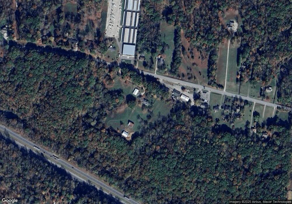
Map
Nearby Homes
- 1550 Tennessee 96
- 120 Old Highway 96
- 610 Dogwood Ln
- 0 Drag Strip Rd
- 545 Red Fox Dr
- 1374 Deal Rd
- 620 Williamson County Line Rd
- 7139 Kingston Rd
- 1348 Camp Ravine Rd
- 7749 Crow Cut Rd
- 7503 Atwater Cir
- 7209 Richvale Dr
- 1284 Highway 96 N
- 9 Sycamore Ridge W
- 7156 Triple Crown Ln
- 1134 Bald Eagle Dr
- 1200 Lonesome Pine Rd
- 1064 Crane Ct
- 1995 Spencer Mill Rd
- 2005 Beaver Ridge Rd
- 4132 Highway 96
- 1 Hwy 96
- 4125 Tennessee 96
- 4125 Highway 96
- 4129 Tennessee 96
- 4129 Highway 96
- 4144 Highway 96
- 4119 Highway 96
- 4148 Highway 96
- 4115 Highway 96
- 4115 Tennessee 96
- 4146 Highway 96
- 4154 Highway 96
- 4111 Highway 96
- 4139 Highway 96
- 4158 Highway 96
- 4135 Highway 96
- 4105 Highway 96 Unit 4105
- 4141 Highway 96
- 4160 Highway 96