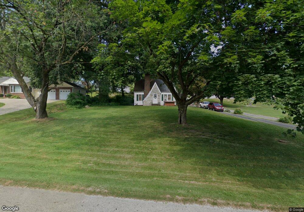
4122 Manchester Rd Akron, OH 44319
East Barberton NeighborhoodEstimated Value: $193,721 - $246,000
3
Beds
1
Bath
780
Sq Ft
$271/Sq Ft
Est. Value
About This Home
This home is located at 4122 Manchester Rd, Akron, OH 44319 and is currently estimated at $211,680, approximately $271 per square foot. 4122 Manchester Rd is a home located in Summit County with nearby schools including Coventry Middle School, Coventry High School, and St. Francis de Sales School.
Ownership History
Date
Name
Owned For
Owner Type
Purchase Details
Closed on
Dec 5, 2005
Sold by
Morris Malinda
Bought by
Trippett Dale and Trippett Wendy
Current Estimated Value
Home Financials for this Owner
Home Financials are based on the most recent Mortgage that was taken out on this home.
Original Mortgage
$109,000
Outstanding Balance
$71,378
Interest Rate
9.34%
Mortgage Type
Fannie Mae Freddie Mac
Estimated Equity
$140,302
Create a Home Valuation Report for This Property
The Home Valuation Report is an in-depth analysis detailing your home's value as well as a comparison with similar homes in the area
Home Values in the Area
Average Home Value in this Area
Purchase History
| Date | Buyer | Sale Price | Title Company |
|---|---|---|---|
| Trippett Dale | $109,000 | Village Title Agency |
Source: Public Records
Mortgage History
| Date | Status | Borrower | Loan Amount |
|---|---|---|---|
| Open | Trippett Dale | $109,000 |
Source: Public Records
Tax History Compared to Growth
Tax History
| Year | Tax Paid | Tax Assessment Tax Assessment Total Assessment is a certain percentage of the fair market value that is determined by local assessors to be the total taxable value of land and additions on the property. | Land | Improvement |
|---|---|---|---|---|
| 2025 | $2,773 | $48,122 | $12,404 | $35,718 |
| 2024 | $2,773 | $48,122 | $12,404 | $35,718 |
| 2023 | $2,773 | $48,122 | $12,404 | $35,718 |
| 2022 | $2,592 | $36,596 | $9,324 | $27,272 |
| 2021 | $2,404 | $36,596 | $9,324 | $27,272 |
| 2020 | $2,370 | $36,590 | $9,320 | $27,270 |
| 2019 | $2,414 | $34,530 | $9,320 | $25,210 |
| 2018 | $2,428 | $34,530 | $9,320 | $25,210 |
| 2017 | $2,248 | $34,530 | $9,320 | $25,210 |
| 2016 | $2,205 | $31,520 | $9,320 | $22,200 |
| 2015 | $2,248 | $31,520 | $9,320 | $22,200 |
| 2014 | $2,149 | $31,520 | $9,320 | $22,200 |
| 2013 | $2,131 | $31,650 | $9,320 | $22,330 |
Source: Public Records
Map
Nearby Homes
- 855 Fowler Ave
- 3826 Powell Ave
- 3809 Powell Ave
- 4216 State Rd
- 834 State Mill Rd
- 3719 Bower Ave
- 0 W Turkeyfoot Lake Rd Unit 5157637
- 3803 Bay Path Dr
- 552 Saunders Ave
- 4698 Manchester Rd
- 796 Portage Lakes Dr
- 802 Portage Lakes Dr
- 1850 Turkeyfoot Lake Rd
- 4567 Rex Lake Dr
- 584 Apple Dr
- 986 S Azalea Blvd
- 441 Dorwil Dr
- 951 S Azalea Blvd
- 428 Canova Dr
- 4851 Manchester Rd
- 4132 Manchester Rd
- 4100 Manchester Rd
- 4142 Manchester Rd
- 4143 Lake Vista Rd
- 4153 Lake Vista Rd
- 4121 Lake Vista Rd
- 1009 Farr Rd
- 4161 Lake Vista Rd
- 4154 Manchester Rd
- 4145 Manchester Rd
- 4111 Lake Vista Rd
- 4175 Lake Vista Rd
- 4155 Manchester Rd
- 4078 Manchester Rd
- 4185 Lake Vista Rd
- 4089 Manchester Rd
- 1001 Farr Rd
- 4081 Manchester Rd
- 4101 Lake Vista Rd
- 4165 Manchester Rd