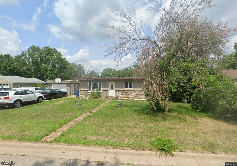
4128 Raymond St Red Wing, MN 55066
Estimated Value: $248,000 - $264,000
3
Beds
2
Baths
1,488
Sq Ft
$173/Sq Ft
Est. Value
About This Home
This home is located at 4128 Raymond St, Red Wing, MN 55066 and is currently estimated at $257,976, approximately $173 per square foot. 4128 Raymond St is a home located in Goodhue County with nearby schools including Burnside Elementary School, Sunnyside Elementary School, and Twin Bluff Middle School.
Ownership History
Date
Name
Owned For
Owner Type
Purchase Details
Closed on
Jul 1, 2021
Sold by
Blomberg Tyler J and Blomberg Lindsay
Bought by
Blomberg Tyler J and Blomberg Lindsay
Current Estimated Value
Home Financials for this Owner
Home Financials are based on the most recent Mortgage that was taken out on this home.
Original Mortgage
$140,950
Outstanding Balance
$127,890
Interest Rate
2.9%
Mortgage Type
New Conventional
Estimated Equity
$130,086
Purchase Details
Closed on
Dec 15, 2016
Sold by
Linder Mark A
Bought by
Blomberg Tyler J
Purchase Details
Closed on
Dec 29, 2003
Sold by
Linder Joanne M
Bought by
Linder Mark A
Create a Home Valuation Report for This Property
The Home Valuation Report is an in-depth analysis detailing your home's value as well as a comparison with similar homes in the area
Home Values in the Area
Average Home Value in this Area
Purchase History
| Date | Buyer | Sale Price | Title Company |
|---|---|---|---|
| Blomberg Tyler J | -- | Knight Barry Ttl United Llc | |
| Blomberg Tyler J | $145,000 | Goodhue County Abstract | |
| Linder Mark A | $134,000 | -- |
Source: Public Records
Mortgage History
| Date | Status | Borrower | Loan Amount |
|---|---|---|---|
| Open | Blomberg Tyler J | $140,950 |
Source: Public Records
Tax History
| Year | Tax Paid | Tax Assessment Tax Assessment Total Assessment is a certain percentage of the fair market value that is determined by local assessors to be the total taxable value of land and additions on the property. | Land | Improvement |
|---|---|---|---|---|
| 2025 | $2,172 | $188,000 | $62,000 | $126,000 |
| 2024 | $2,136 | $183,800 | $62,000 | $121,800 |
| 2023 | $1,098 | $175,400 | $62,000 | $113,400 |
| 2022 | $2,018 | $174,500 | $62,000 | $112,500 |
| 2021 | $1,762 | $154,700 | $62,000 | $92,700 |
| 2020 | $1,780 | $139,900 | $62,000 | $77,900 |
| 2019 | $1,750 | $133,200 | $62,000 | $71,200 |
| 2018 | $1,442 | $132,700 | $59,600 | $73,100 |
| 2017 | $1,660 | $121,100 | $59,600 | $61,500 |
| 2016 | $1,214 | $113,700 | $59,600 | $54,100 |
| 2015 | $1,182 | $111,400 | $59,600 | $51,800 |
| 2014 | -- | $112,300 | $59,600 | $52,700 |
Source: Public Records
Map
Nearby Homes
- 237 Butternut Ave
- 127 Motel Ave
- 135 Kingswood Dr
- 133 Kingswood Dr
- 853 Aurora Cir
- 912 Aurora Cir
- 694 Aspen Ave
- 4739 Big Sky Ct
- 1056 Birch Ave
- 921 Snowbird Dr
- 910 Snowbird Dr
- 914 Snowbird Dr
- 4958 Chalet Ct
- 137 Rhame Ave
- 113 Burnside Ave S
- 2820 N Service Dr
- 1140 Hewitt Blvd
- 5542 Cannon Dale Ct
- 1125 Hewitt Blvd
- 1181 Hewitt Blvd
- 4136 Raymond St
- 142 Johnson Ave
- 4127 Raymond St
- 4146 Raymond St
- 4135 Raymond St
- 4119 Raymond St
- 4145 Raymond St
- 128 Johnson Ave
- 4154 Raymond St
- 4143 Highway 61 W
- 4149 Highway 61 W
- 4135 Highway 61 W
- 4153 Raymond St
- 176 Johnson Ave
- 4157 Highway 61 W
- 4128 Robert St
- 4204 Raymond St
- 4119 Highway 61 W
- 4136 Robert St
- 4120 Robert St
Your Personal Tour Guide
Ask me questions while you tour the home.