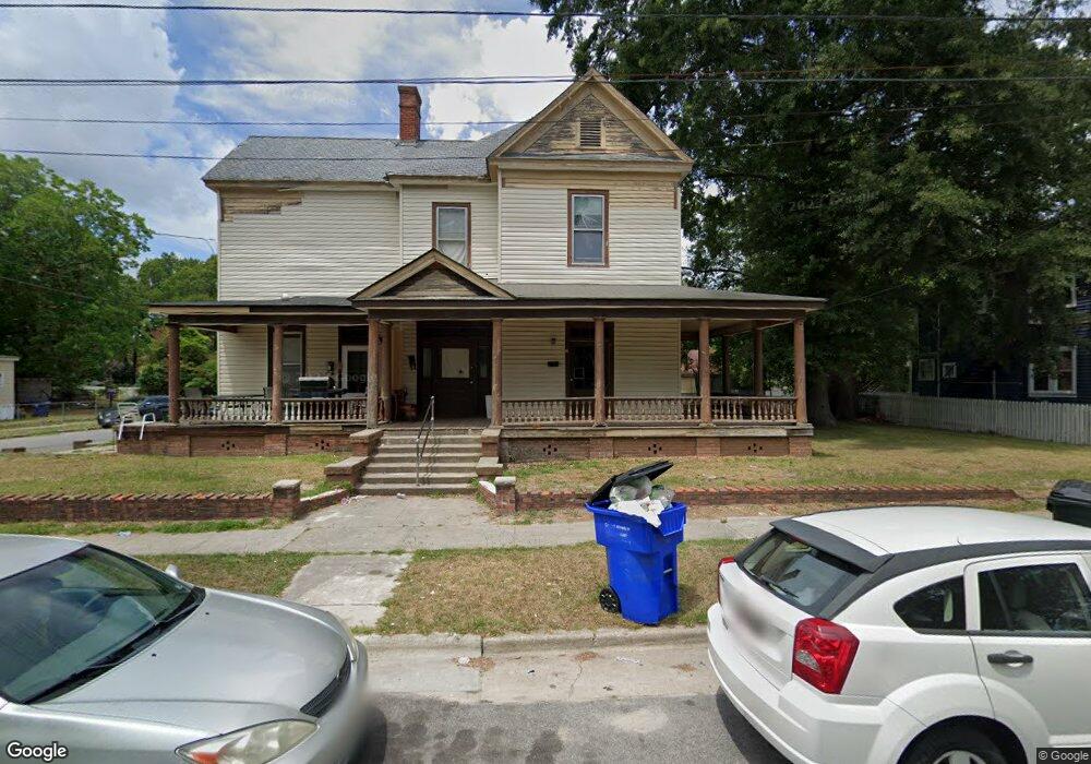
412A College St Unit B Kinston, NC 28501
Estimated Value: $48,161 - $59,000
6
Beds
3
Baths
3,256
Sq Ft
$16/Sq Ft
Est. Value
About This Home
This home is located at 412A College St Unit B, Kinston, NC 28501 and is currently estimated at $53,581, approximately $16 per square foot. 412A College St Unit B is a home located in Lenoir County with nearby schools including Northeast Elementary School, Rochelle Middle School, and Kinston High School.
Ownership History
Date
Name
Owned For
Owner Type
Purchase Details
Closed on
Aug 5, 2014
Sold by
Oliver Earl B and Oliver Angela D
Bought by
Kephart David R and Kephart Patricia M
Home Financials for this Owner
Home Financials are based on the most recent Mortgage that was taken out on this home.
Original Mortgage
$21,000
Interest Rate
4.19%
Mortgage Type
Commercial
Create a Home Valuation Report for This Property
The Home Valuation Report is an in-depth analysis detailing your home's value as well as a comparison with similar homes in the area
Home Values in the Area
Average Home Value in this Area
Purchase History
| Date | Buyer | Sale Price | Title Company |
|---|---|---|---|
| Kephart David R | $25,000 | None Available |
Source: Public Records
Mortgage History
| Date | Status | Borrower | Loan Amount |
|---|---|---|---|
| Closed | Kephart David R | $21,000 |
Source: Public Records
Tax History Compared to Growth
Tax History
| Year | Tax Paid | Tax Assessment Tax Assessment Total Assessment is a certain percentage of the fair market value that is determined by local assessors to be the total taxable value of land and additions on the property. | Land | Improvement |
|---|---|---|---|---|
| 2025 | $1,432 | $101,909 | $5,708 | $96,201 |
| 2024 | $476 | $29,465 | $3,300 | $26,165 |
| 2023 | $476 | $29,465 | $3,300 | $26,165 |
| 2022 | $476 | $29,465 | $3,300 | $26,165 |
| 2021 | $476 | $29,465 | $3,300 | $26,165 |
| 2020 | $464 | $29,465 | $3,300 | $26,165 |
| 2019 | $464 | $29,465 | $3,300 | $26,165 |
| 2018 | $451 | $29,465 | $3,300 | $26,165 |
| 2017 | $452 | $29,465 | $3,300 | $26,165 |
| 2014 | $223 | $14,929 | $3,300 | $11,629 |
| 2013 | -- | $14,929 | $3,300 | $11,629 |
| 2011 | -- | $14,929 | $3,300 | $11,629 |
Source: Public Records
Map
Nearby Homes
- 606 College St
- 510 W Washington Ave
- 605 W Lenoir Ave
- 608 Rhem St
- 708 W Lenoir Ave
- 109 E Grainger Ave
- 608 N Independence St
- 601 N Independence St
- 1003 W Washington Ave
- 113 E Capitola Ave
- 208 E Vernon Ave
- 615 N Independence St
- 305 Stough Alley
- 313 E Lenoir Ave
- 314 & 315 E Peyton Ave
- 314 E Lenoir Ave
- 315 E Grainger Ave
- 705 Rountree Ave
- 1200 W Lenoir Ave
- 206 Summit Ave
- 405 Manning St
- 416 College St
- 406 College St
- 407 Manning St
- 409 College St
- 404 Atlantic Ave
- 404 College St
- 409 Manning St
- 402 College St
- 405 College St
- 406 Atlantic Ave
- 408 Manning St
- 407 College St
- 411 Manning St
- 403 College St
- 410 Manning St
- 403 W Blount St
- 410 Atlantic Ave
- 302 Atlantic Ave
- 311 Atlantic Ave