Estimated Value: $284,009 - $350,000
3
Beds
2
Baths
1,441
Sq Ft
$216/Sq Ft
Est. Value
About This Home
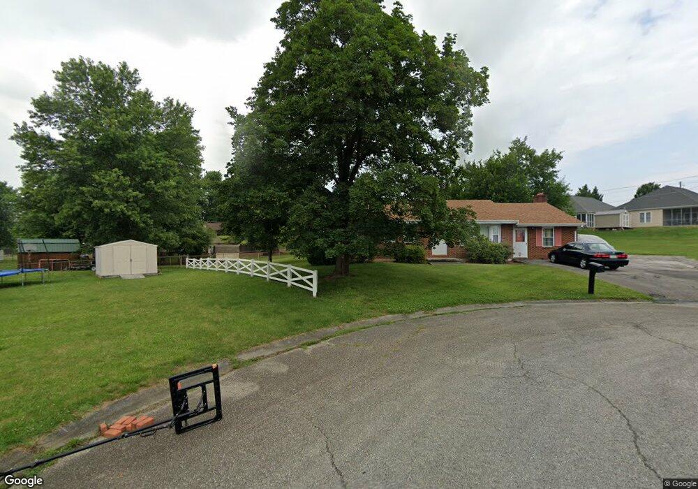
This home is located at 413 Decatur Cir, Salem, VA 24153 and is currently estimated at $311,252, approximately $215 per square foot. 413 Decatur Cir is a home located in Salem City with nearby schools including South Salem Elementary School, Andrew Lewis Middle School, and Salem High School.
Ownership History
Date
Name
Owned For
Owner Type
Purchase Details
Closed on
May 4, 2006
Sold by
Price Vance Gordon and Caldwell Vonda P
Bought by
Reynolds Keith T
Current Estimated Value
Home Financials for this Owner
Home Financials are based on the most recent Mortgage that was taken out on this home.
Original Mortgage
$169,100
Outstanding Balance
$97,599
Interest Rate
6.34%
Mortgage Type
New Conventional
Estimated Equity
$213,653
Create a Home Valuation Report for This Property
The Home Valuation Report is an in-depth analysis detailing your home's value as well as a comparison with similar homes in the area
Home Values in the Area
Average Home Value in this Area
Purchase History
| Date | Buyer | Sale Price | Title Company |
|---|---|---|---|
| Reynolds Keith T | -- | None Available |
Source: Public Records
Mortgage History
| Date | Status | Borrower | Loan Amount |
|---|---|---|---|
| Open | Reynolds Keith T | $169,100 |
Source: Public Records
Tax History
| Year | Tax Paid | Tax Assessment Tax Assessment Total Assessment is a certain percentage of the fair market value that is determined by local assessors to be the total taxable value of land and additions on the property. | Land | Improvement |
|---|---|---|---|---|
| 2025 | $1,372 | $232,600 | $45,500 | $187,100 |
| 2024 | $1,307 | $217,900 | $43,800 | $174,100 |
| 2023 | $2,604 | $217,000 | $42,000 | $175,000 |
| 2022 | $2,249 | $187,400 | $37,400 | $150,000 |
| 2021 | $2,150 | $179,200 | $35,600 | $143,600 |
| 2020 | $2,083 | $173,600 | $35,600 | $138,000 |
| 2019 | $1,980 | $165,000 | $35,600 | $129,400 |
| 2018 | $1,908 | $161,700 | $33,900 | $127,800 |
| 2017 | $1,890 | $160,200 | $33,900 | $126,300 |
| 2016 | $1,940 | $164,400 | $33,900 | $130,500 |
| 2015 | $1,827 | $154,800 | $29,000 | $125,800 |
| 2014 | $1,827 | $154,800 | $29,000 | $125,800 |
Source: Public Records
Map
Nearby Homes
- 415 Kimball Ave
- 411 Kimball Ave
- 409 Kimball Ave
- 407 Kimball Ave
- 234 Kimball Ave
- 216 Bowman Ave
- 716 Page St
- 1504 Eddy Ave
- 303 Riverland Dr
- 2153 Mulberry St Unit 2153, 2155,2157, 215
- 2161 Mulberry St Unit 2161,2163,2165,2167
- 916 Pyrtle Dr Unit A, B and C
- 913 Page St Unit A and B
- 2138 Bailey Ave
- 906 Front Ave
- 964 Hill Ave
- 2231 Irish Cir
- 2129 12 Oclock Knob Rd
- 112 Upland Dr
- 726 Ambler Ln
- 516 Pyrtle Dr
- 512 Pyrtle Dr
- 415 Decatur Dr
- 419 Decatur Dr
- 418 Kimball Ave
- 409 Decatur Cir
- 420 Kimball Ave
- 524 Pyrtle Dr
- 416 Kimball Ave
- 424 Kimball Ave
- 427 Decatur Dr
- 414 Kimball Ave
- 404 Kimball Ave
- 430 Kimball Ave
- 431 Decatur Dr
- 501 Moran Ave
- 416 Decatur Dr
- 314 Kimball Ave
- 500 Moran Ave
- 428 Decatur Dr