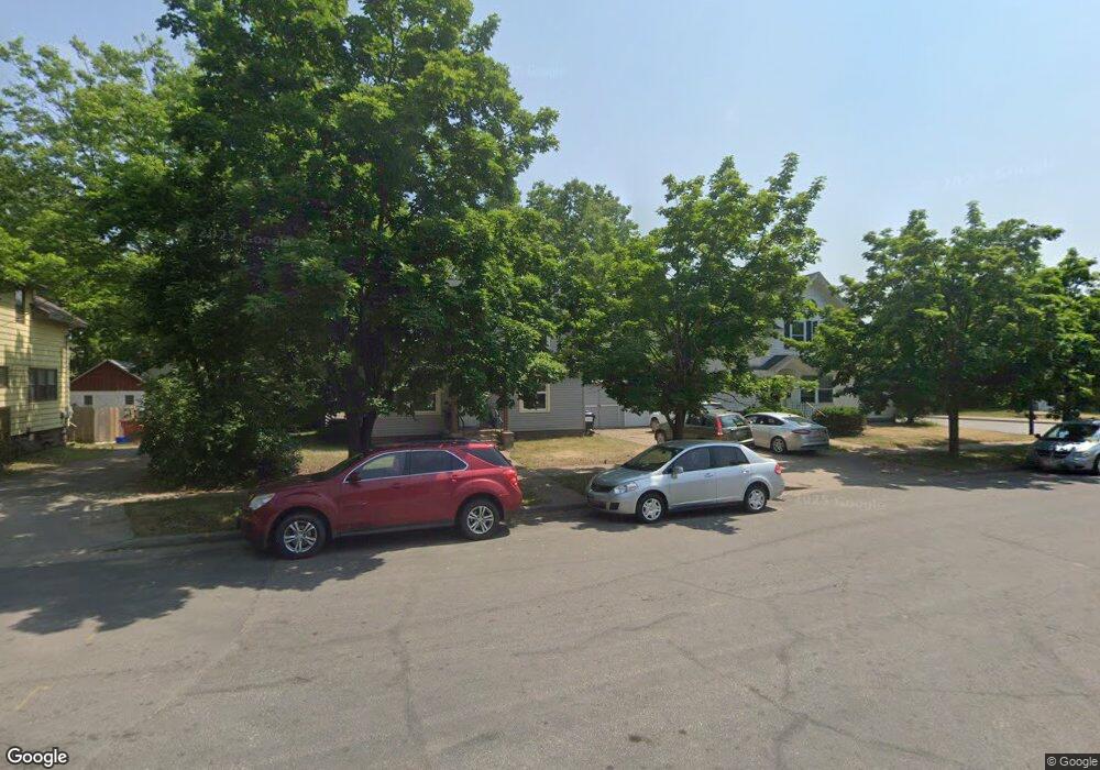
413 Newton St Eau Claire, WI 54701
Third Ward NeighborhoodEstimated Value: $194,193 - $213,000
2
Beds
1
Bath
1,232
Sq Ft
$165/Sq Ft
Est. Value
About This Home
This home is located at 413 Newton St, Eau Claire, WI 54701 and is currently estimated at $202,798, approximately $164 per square foot. 413 Newton St is a home located in Eau Claire County with nearby schools including Lakeshore Elementary School, Delong Middle School, and Memorial High School.
Ownership History
Date
Name
Owned For
Owner Type
Purchase Details
Closed on
May 23, 2008
Sold by
Blue Earth Properties Llc
Bought by
Franko Family Rentals Llc
Current Estimated Value
Home Financials for this Owner
Home Financials are based on the most recent Mortgage that was taken out on this home.
Original Mortgage
$78,000
Outstanding Balance
$49,526
Interest Rate
5.93%
Mortgage Type
Future Advance Clause Open End Mortgage
Estimated Equity
$153,272
Create a Home Valuation Report for This Property
The Home Valuation Report is an in-depth analysis detailing your home's value as well as a comparison with similar homes in the area
Home Values in the Area
Average Home Value in this Area
Purchase History
| Date | Buyer | Sale Price | Title Company |
|---|---|---|---|
| Franko Family Rentals Llc | $80,000 | None Available |
Source: Public Records
Mortgage History
| Date | Status | Borrower | Loan Amount |
|---|---|---|---|
| Open | Franko Family Rentals Llc | $78,000 |
Source: Public Records
Tax History Compared to Growth
Tax History
| Year | Tax Paid | Tax Assessment Tax Assessment Total Assessment is a certain percentage of the fair market value that is determined by local assessors to be the total taxable value of land and additions on the property. | Land | Improvement |
|---|---|---|---|---|
| 2024 | $2,485 | $127,200 | $14,200 | $113,000 |
| 2023 | $2,275 | $127,200 | $14,200 | $113,000 |
| 2022 | $2,212 | $127,200 | $14,200 | $113,000 |
| 2021 | $2,171 | $127,200 | $14,200 | $113,000 |
| 2020 | $2,016 | $103,400 | $15,700 | $87,700 |
| 2019 | $2,164 | $103,400 | $15,700 | $87,700 |
| 2018 | $1,982 | $103,400 | $15,700 | $87,700 |
| 2017 | $1,813 | $82,000 | $14,200 | $67,800 |
| 2016 | $1,824 | $82,000 | $14,200 | $67,800 |
| 2014 | -- | $82,000 | $14,200 | $67,800 |
| 2013 | -- | $82,000 | $14,200 | $67,800 |
Source: Public Records
Map
Nearby Homes
- 1010 S Farwell St
- 715 S Dewey St Unit 1 & 2
- 1105 Dodge St
- 712 Seaver St
- 435 Jefferson St
- 517 Dodge St Unit 1 & 2
- 708 Jones St
- 708 Jones St Unit 1 & 1/2
- 723 Huebsch Blvd
- 929 Barland St
- 411 Dodge St
- 120 Broadway St Unit 1-3
- 627 Putnam Dr
- 1104 Emery St
- 1046 Barland St Unit 1-3
- 1125 Barland St
- 1711 State St
- 1628 Rust St
- 1512 Hoover Ave
- 1609 Highland Ave
- 407 Newton St
- 1009 S Farwell St
- 415 Newton St
- 1006 S Dewey St
- 414 Marston Ave
- 1004 S Farwell St
- 418 Marston Ave
- 920 S Farwell St
- 318 Marston Ave Unit 318 Marston Avenue
- 318 Marston Ave
- 908 S Farwell St
- 912 S Farwell St
- 314 Marston Ave
- 415 Marston Ave Unit 1
- 415 Marston Ave
- 403 Marston Ave
- 1019 S Dewey St
- 1007 S Barstow St
- 1007 S Barstow St Unit 1 & 2
- 1007 & 1007 1/2 S Barstow Street St