413 Pete Dixon Rd Crossville, TN 38572
Estimated Value: $516,000 - $551,036
--
Bed
2
Baths
1,392
Sq Ft
$385/Sq Ft
Est. Value
About This Home
This home is located at 413 Pete Dixon Rd, Crossville, TN 38572 and is currently estimated at $536,259, approximately $385 per square foot. 413 Pete Dixon Rd is a home located in Cumberland County with nearby schools including South Cumberland Elementary School and Cumberland County High School.
Ownership History
Date
Name
Owned For
Owner Type
Purchase Details
Closed on
Jul 1, 2025
Sold by
Coffee Michael Curtis and Keffel Julie
Bought by
Atkinson Enterprises Inc and Lawson
Current Estimated Value
Purchase Details
Closed on
Nov 15, 2024
Sold by
Galloway Wanda V and Galloway Ralph V
Bought by
Coffee Michael Curtis and Keffel Julie
Purchase Details
Closed on
Jul 3, 1990
Bought by
Galloway Ralph L and Galloway Wanda V
Create a Home Valuation Report for This Property
The Home Valuation Report is an in-depth analysis detailing your home's value as well as a comparison with similar homes in the area
Home Values in the Area
Average Home Value in this Area
Purchase History
| Date | Buyer | Sale Price | Title Company |
|---|---|---|---|
| Atkinson Enterprises Inc | $525,000 | Barren Fork Title & Escrow Com | |
| Atkinson Enterprises Inc | $525,000 | Barren Fork Title & Escrow Com | |
| Coffee Michael Curtis | -- | None Listed On Document | |
| Coffee Michael Curtis | -- | None Listed On Document | |
| Galloway Ralph L | $50,000 | -- |
Source: Public Records
Tax History Compared to Growth
Tax History
| Year | Tax Paid | Tax Assessment Tax Assessment Total Assessment is a certain percentage of the fair market value that is determined by local assessors to be the total taxable value of land and additions on the property. | Land | Improvement |
|---|---|---|---|---|
| 2024 | $844 | $74,375 | $24,775 | $49,600 |
| 2023 | $0 | $74,375 | $0 | $0 |
| 2022 | $865 | $76,225 | $24,775 | $51,450 |
| 2021 | $835 | $53,350 | $21,375 | $31,975 |
| 2020 | $835 | $53,350 | $21,375 | $31,975 |
| 2019 | $835 | $53,350 | $21,375 | $31,975 |
| 2018 | $835 | $53,350 | $21,375 | $31,975 |
| 2017 | $835 | $53,350 | $21,375 | $31,975 |
| 2016 | $726 | $47,550 | $17,300 | $30,250 |
| 2015 | $712 | $47,550 | $17,300 | $30,250 |
| 2014 | $712 | $47,546 | $0 | $0 |
Source: Public Records
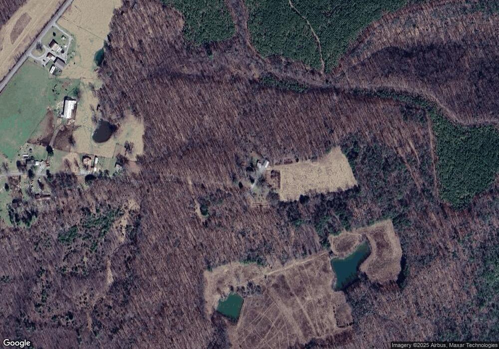
Map
Nearby Homes
- 0 Flynns Cove Rd Unit 1258314
- 0 Flynns Cove Rd Unit 1258306
- 4907 Newton Rd
- 23 Diane Cir
- 22 Diane Cir
- 1 Diane Cir
- 19 Burchette Dr
- 19 Burchett Dr
- Lot 7 Thomas Springs Rd
- Lot 3 Thomas Springs Rd
- Lot 5 Thomas Springs Rd
- 27 Thomas Springs Rd
- 7 Thomas Springs Rd
- 3 Thomas Springs Rd
- 28 Thomas Springs Rd
- 5 Thomas Springs Rd
- Tract 28 Thomas Springs Rd
- 26 Thomas Springs Rd
- Tract 26 Thomas Springs Rd
- Tract 27 Thomas Springs Rd
- 211 Pete Dixon Rd
- 3287 Flynns Cove Rd
- 153 Pete Dixon Rd
- 3385 Flynns Cove Rd
- 3593 Flynns Cove Rd
- 3546 Flynns Cove Rd
- 297 Martin Burgess Rd
- 297 Martin Burgess Rd
- 0 Martin Burgess Rd
- 470 Martin Burgess Rd
- 295 Martin Burgess Rd
- 249 Martin Burgess Rd
- 344 Martin Burgess Rd
- 73 Martin Burgess Rd
- 224 Martin Burgess Rd
- 224 Martin Burgess Rd
- 156 Martin Burgess Rd
- 4407 Flynns Cove Rd