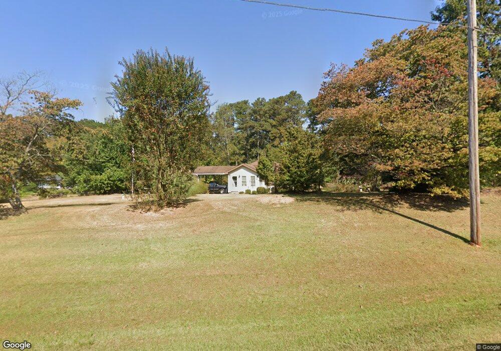
413 Tyus Carrollton Rd Carrollton, GA 30117
Estimated Value: $99,000 - $196,000
2
Beds
1
Bath
864
Sq Ft
$185/Sq Ft
Est. Value
About This Home
This home is located at 413 Tyus Carrollton Rd, Carrollton, GA 30117 and is currently estimated at $159,424, approximately $184 per square foot. 413 Tyus Carrollton Rd is a home located in Carroll County with nearby schools including Central Elementary School, Central Middle School, and Central High School.
Ownership History
Date
Name
Owned For
Owner Type
Purchase Details
Closed on
Jul 18, 2003
Sold by
Burson Nancy F
Bought by
Burns Jeff H
Current Estimated Value
Purchase Details
Closed on
Jul 7, 2003
Sold by
Phillips Charles Jerry Adminis
Bought by
Burson Nancy F
Purchase Details
Closed on
May 29, 2003
Sold by
Burson Bobby Wayne Est
Bought by
Phillips Charles Jerry Administrato
Purchase Details
Closed on
Nov 13, 1998
Sold by
Secor Secor and Secor Northcutt
Bought by
Burson Bobby Wayne
Purchase Details
Closed on
Sep 5, 1982
Bought by
Secor Secor and Secor Northcutt
Create a Home Valuation Report for This Property
The Home Valuation Report is an in-depth analysis detailing your home's value as well as a comparison with similar homes in the area
Home Values in the Area
Average Home Value in this Area
Purchase History
| Date | Buyer | Sale Price | Title Company |
|---|---|---|---|
| Burns Jeff H | $41,000 | -- | |
| Burson Nancy F | -- | -- | |
| Phillips Charles Jerry Administrato | -- | -- | |
| Burson Bobby Wayne | $20,000 | -- | |
| Secor Secor | -- | -- |
Source: Public Records
Tax History Compared to Growth
Tax History
| Year | Tax Paid | Tax Assessment Tax Assessment Total Assessment is a certain percentage of the fair market value that is determined by local assessors to be the total taxable value of land and additions on the property. | Land | Improvement |
|---|---|---|---|---|
| 2024 | $768 | $33,969 | $5,201 | $28,768 |
| 2023 | $768 | $30,406 | $4,161 | $26,245 |
| 2022 | $602 | $23,988 | $2,774 | $21,214 |
| 2021 | $526 | $20,508 | $2,219 | $18,289 |
| 2020 | $471 | $18,352 | $2,018 | $16,334 |
| 2019 | $436 | $16,839 | $2,018 | $14,821 |
| 2018 | $393 | $14,969 | $1,643 | $13,326 |
| 2017 | $394 | $14,969 | $1,643 | $13,326 |
| 2016 | $394 | $14,969 | $1,643 | $13,326 |
| 2015 | $439 | $15,692 | $3,593 | $12,100 |
| 2014 | $441 | $15,693 | $3,593 | $12,100 |
Source: Public Records
Map
Nearby Homes
- 0 Bonner Rd Unit 10635754
- 399 Old Camp Church Rd
- 20 Camp Ct
- 345 Piney Grove Rd
- 95 Camp Ln
- The Coleman Plan at Summerfield Place
- The Pearson Plan at Summerfield Place
- The Piedmont Plan at Summerfield Place
- The Harrington Plan at Summerfield Place
- The McGinnis Plan at Summerfield Place
- The Telfair Plan at Summerfield Place
- 105 Woodbine Dr
- 115 Greenwood Ln
- 21 Crabapple Place
- 394 Maple View Dr
- 390 Maple View Dr
- 388 Maple View Dr
- 130 Maple Crossing Unit 1
- 130 Maple Crossing Unit LOT 2
- 40 Red Holly Gap
- 423 Tyus Carrollton Rd
- 410 Tyus Carrollton Rd
- 432 Tyus Carrollton Rd
- 392 Tyus Carrollton Rd
- 379 Tyus Carrollton Rd
- 379 Tyus Carrollton Rd
- 25 Piney Grove Rd
- 472 Tyus Carrollton Rd
- 79 Piney Grove Rd
- 47 Mcguire Rd
- 47 Mcguire Rd
- 2 Colonial Dr
- 475 Tyus Carrollton Rd
- 501 Tyus Carrollton Rd
- 496 Tyus Carrollton Rd
- 355 Tyus Carrollton Rd
- 0 Mcguire Rd Unit 7330685
- 0 Mcguire Rd
- 115 W Fairlawn Dr
- 149 Mcguire Rd