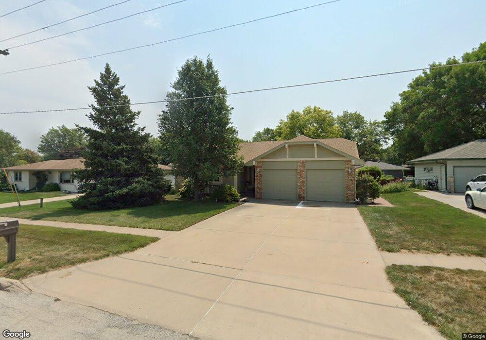
413 W Angus St Gretna, NE 68028
Estimated Value: $277,718 - $304,000
2
Beds
3
Baths
1,408
Sq Ft
$209/Sq Ft
Est. Value
About This Home
This home is located at 413 W Angus St, Gretna, NE 68028 and is currently estimated at $293,930, approximately $208 per square foot. 413 W Angus St is a home located in Sarpy County with nearby schools including Gretna Elementary School, Gretna Middle School, and Gretna High School.
Ownership History
Date
Name
Owned For
Owner Type
Purchase Details
Closed on
Jun 21, 2016
Sold by
Breeling Kathleen R
Bought by
Breeling Kathleen R and Not Provided Michael S
Current Estimated Value
Purchase Details
Closed on
Oct 31, 2007
Sold by
Sedlacek Enterprises Llc
Bought by
Breeling James J and Breeling Kathleen R
Purchase Details
Closed on
May 16, 2007
Sold by
Paul R & Edward J Sedlacek Partnership
Bought by
Sedlacek Enterprises Llc
Purchase Details
Closed on
May 12, 2006
Sold by
Koke John J and Koke Gloria E
Bought by
Sedlacek Paul R and Part Edward J Sedlacek
Create a Home Valuation Report for This Property
The Home Valuation Report is an in-depth analysis detailing your home's value as well as a comparison with similar homes in the area
Home Values in the Area
Average Home Value in this Area
Purchase History
| Date | Buyer | Sale Price | Title Company |
|---|---|---|---|
| Breeling Kathleen R | -- | None Available | |
| Breeling James J | $146,000 | Dakota Title & Escrow Co | |
| Sedlacek Enterprises Llc | -- | None Available | |
| Sedlacek Paul R | $146,000 | None Available |
Source: Public Records
Tax History Compared to Growth
Tax History
| Year | Tax Paid | Tax Assessment Tax Assessment Total Assessment is a certain percentage of the fair market value that is determined by local assessors to be the total taxable value of land and additions on the property. | Land | Improvement |
|---|---|---|---|---|
| 2025 | -- | $326,817 | $40,500 | $286,317 |
| 2024 | -- | $285,003 | $40,500 | $244,503 |
| 2023 | -- | $270,280 | $40,500 | $229,780 |
| 2022 | $0 | $241,073 | $40,500 | $200,573 |
| 2021 | $0 | $220,262 | $40,500 | $179,762 |
| 2020 | $0 | $212,490 | $27,000 | $185,490 |
| 2019 | $0 | $187,974 | $24,000 | $163,974 |
| 2018 | $0 | $188,781 | $15,200 | $173,581 |
| 2017 | $0 | $180,770 | $15,200 | $165,570 |
| 2016 | $611 | $163,300 | $15,200 | $148,100 |
| 2015 | -- | $152,855 | $15,200 | $137,655 |
| 2014 | -- | $149,320 | $15,200 | $134,120 |
| 2012 | $863 | $143,990 | $15,200 | $128,790 |
Source: Public Records
Map
Nearby Homes
- 213 Highland Dr
- 347 Michael Dr
- 20717 Frances St
- 11647 Willow Park Dr
- 206 E Westplains Rd
- 710 Pawnee Dr
- 20919 Birch St
- 20926 Oak St
- 11303 S 210th Ave
- Lot 127 W Gruenther Rd
- Lot 111 W Gruenther Rd
- TBD Lot 64 W Gruenther Rd
- Lot 136 W Gruenther Rd
- Lot 80 W Gruenther Rd
- Lot 71 W Gruenther Rd
- 11808 S 213th St
- 21733 Parkview Dr
- 21710 Parkview Dr
- 21603 Parkview Dr
- 20919 Mcclellan Cir