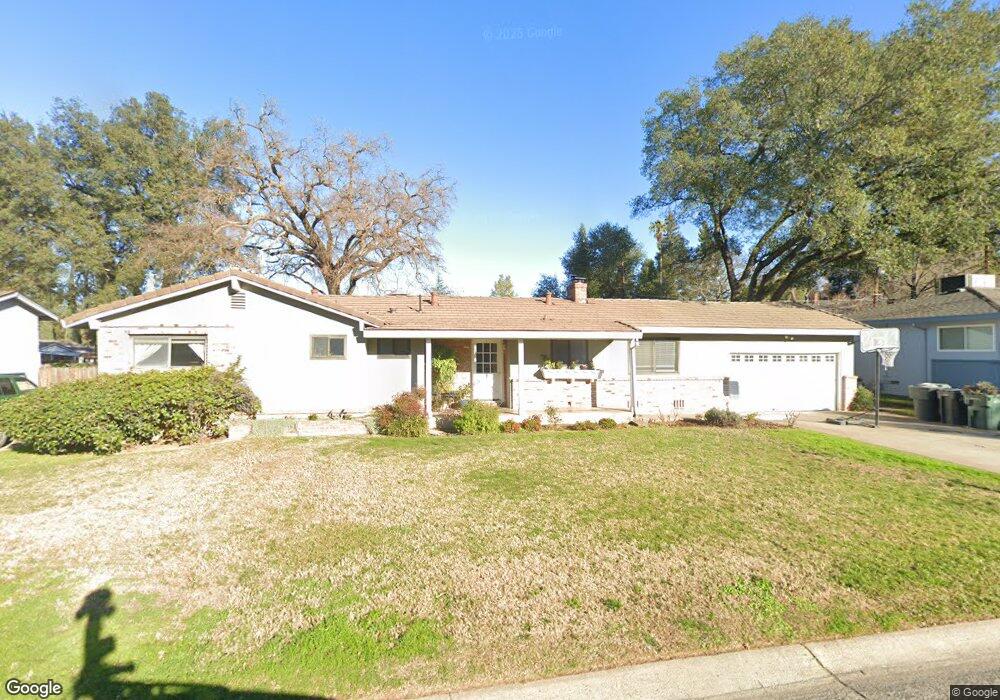
4132 Beresford Way Sacramento, CA 95821
Mira Loma NeighborhoodEstimated Value: $338,000 - $588,000
3
Beds
2
Baths
1,286
Sq Ft
$339/Sq Ft
Est. Value
About This Home
This home is located at 4132 Beresford Way, Sacramento, CA 95821 and is currently estimated at $436,474, approximately $339 per square foot. 4132 Beresford Way is a home located in Sacramento County with nearby schools including Pasadena Avenue Elementary School, Winston Churchill Middle School, and Mira Loma High School.
Ownership History
Date
Name
Owned For
Owner Type
Purchase Details
Closed on
Apr 29, 1997
Sold by
Chandler Harvey and Chandler Betty I
Bought by
Dobson Michael W and Dobson Cheryll F
Current Estimated Value
Home Financials for this Owner
Home Financials are based on the most recent Mortgage that was taken out on this home.
Original Mortgage
$128,250
Outstanding Balance
$17,505
Interest Rate
7.96%
Estimated Equity
$418,969
Create a Home Valuation Report for This Property
The Home Valuation Report is an in-depth analysis detailing your home's value as well as a comparison with similar homes in the area
Home Values in the Area
Average Home Value in this Area
Purchase History
| Date | Buyer | Sale Price | Title Company |
|---|---|---|---|
| Dobson Michael W | $135,000 | Chicago Title Co |
Source: Public Records
Mortgage History
| Date | Status | Borrower | Loan Amount |
|---|---|---|---|
| Open | Dobson Michael W | $128,250 |
Source: Public Records
Tax History Compared to Growth
Tax History
| Year | Tax Paid | Tax Assessment Tax Assessment Total Assessment is a certain percentage of the fair market value that is determined by local assessors to be the total taxable value of land and additions on the property. | Land | Improvement |
|---|---|---|---|---|
| 2025 | $2,654 | $219,842 | $65,132 | $154,710 |
| 2024 | $2,654 | $215,532 | $63,855 | $151,677 |
| 2023 | $2,588 | $211,306 | $62,603 | $148,703 |
| 2022 | $2,573 | $207,164 | $61,376 | $145,788 |
| 2021 | $2,532 | $203,103 | $60,173 | $142,930 |
| 2020 | $2,485 | $201,021 | $59,556 | $141,465 |
| 2019 | $2,437 | $197,081 | $58,389 | $138,692 |
| 2018 | $2,409 | $193,218 | $57,245 | $135,973 |
| 2017 | $2,386 | $189,430 | $56,123 | $133,307 |
| 2016 | $2,231 | $185,717 | $55,023 | $130,694 |
| 2015 | $2,192 | $182,928 | $54,197 | $128,731 |
| 2014 | $2,146 | $179,346 | $53,136 | $126,210 |
Source: Public Records
Map
Nearby Homes
- 4100 Zephyr Way
- 4098 Norris Ave
- 3830 Pasadena Ave
- 3915 Adelheid Way
- 4101 Hillcrest Way
- 3916 Norris Ave
- 4106 Wheat St
- 3825 Sunnyvale Ave
- 3804 Sunnyvale Ave
- 0 Watt Ave Unit 224093608
- 3742 Eastern Ave
- 4316 Edison Ave
- 4239 Daybreak Ln
- 3800 William Way
- 3497 Edison Ave
- 3739 Watt Ave
- 3531 West Way
- 4301 Landolt Ave
- 3439 Del Mesa Ct
- 3418 Whitnor Ct
- 4140 Beresford Way
- 4124 Beresford Way
- 3948 Brule Ct
- 3952 Brule Ct
- 4148 Beresford Way
- 3928 Auburn Blvd
- 4120 Beresford Way
- 4131 Beresford Way
- 4137 Beresford Way
- 4125 Beresford Way
- 3944 Brule Ct
- 3932 Auburn Blvd
- 4143 Beresford Way
- 4119 Beresford Way
- 4116 Beresford Way
- 4149 Beresford Way
- 3956 Brule Ct
- 3940 Brule Ct
- 4113 Beresford Way
- 4112 Beresford Way