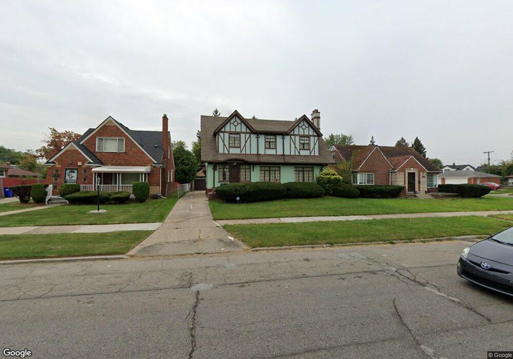
4134 E Outer Dr Detroit, MI 48234
Nortown NeighborhoodEstimated Value: $135,000 - $160,000
Studio
1
Bath
2,280
Sq Ft
$64/Sq Ft
Est. Value
About This Home
This home is located at 4134 E Outer Dr, Detroit, MI 48234 and is currently estimated at $144,905, approximately $63 per square foot. 4134 E Outer Dr is a home located in Wayne County with nearby schools including Marion Law Academy, Edward 'Duke' Ellington Conservatory of Music and Art, and Charles L. Spain Elementary-Middle School.
Ownership History
Date
Name
Owned For
Owner Type
Purchase Details
Closed on
Sep 15, 2015
Sold by
Binge Gretchen
Bought by
Binge Gretchen E and The Gretchen E Binge Revocable Trust
Current Estimated Value
Purchase Details
Closed on
Oct 25, 2010
Sold by
Binge Gretchen and Renaud Victoria
Bought by
Binge Gretchen
Purchase Details
Closed on
Nov 4, 2005
Sold by
Binge Leonard W and Binge Alfreeda
Bought by
Livi Binge Leonard W and Leonard W Binge Revocable Living Trust
Create a Home Valuation Report for This Property
The Home Valuation Report is an in-depth analysis detailing your home's value as well as a comparison with similar homes in the area
Home Values in the Area
Average Home Value in this Area
Purchase History
| Date | Buyer | Sale Price | Title Company |
|---|---|---|---|
| Binge Gretchen E | -- | Attorney | |
| Binge Gretchen | -- | None Available | |
| Livi Binge Leonard W | -- | None Available |
Source: Public Records
Tax History
| Year | Tax Paid | Tax Assessment Tax Assessment Total Assessment is a certain percentage of the fair market value that is determined by local assessors to be the total taxable value of land and additions on the property. | Land | Improvement |
|---|---|---|---|---|
| 2025 | $1,273 | $66,600 | $0 | $0 |
| 2024 | $1,287 | $57,400 | $0 | $0 |
| 2023 | $1,248 | $46,700 | $0 | $0 |
| 2022 | $1,368 | $31,900 | $0 | $0 |
| 2021 | $1,333 | $25,100 | $0 | $0 |
| 2020 | $1,319 | $22,300 | $0 | $0 |
| 2019 | $1,298 | $18,000 | $0 | $0 |
| 2018 | $1,105 | $15,300 | $0 | $0 |
| 2017 | $273 | $14,400 | $0 | $0 |
| 2016 | $1,366 | $35,000 | $0 | $0 |
| 2015 | $1,870 | $18,700 | $0 | $0 |
| 2013 | $2,337 | $23,365 | $0 | $0 |
| 2010 | -- | $34,257 | $1,496 | $32,761 |
Source: Public Records
Map
Nearby Homes
- 4115 E Outer Dr
- 19960 Concord St
- 19723 Carrie St
- 19987 Carrie St
- 19697 Carrie St
- 20009 Concord St
- 20136 Helen St
- 20161 Helen St
- 19698 Packard St
- 19440 Cliff St
- 20015 Stotter St
- 20124 Spencer St
- 20228 Packard St
- 19674 Stotter St
- 19423 Spencer St
- 20400 Packard St
- 20485 Helen St
- 19332 Packard St
- 20495 Packard St
- 19190 Rogge St
- 4124 E Outer Dr
- 4146 E Outer Dr
- 4160 E Outer Dr
- 19714 Helen St
- 19715 Carrie St Unit Bldg-Unit
- 19715 Carrie St
- 4100 E Outer Dr
- 19708 Helen St
- 19707 Carrie St
- 19700 Helen St
- 4090 E Outer Dr
- 19717 Helen St
- 4180 E Outer Dr
- 4086 E Outer Dr
- 19690 Helen St
- 4151 E Outer Dr
- 19691 Carrie St
- 19707 Helen St Unit Bldg-Unit
- 19707 Helen St
- 4080 E Outer Dr
Your Personal Tour Guide
Ask me questions while you tour the home.