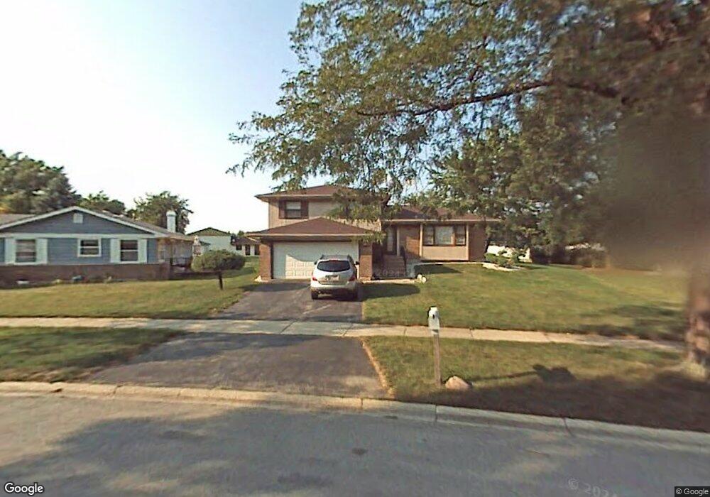
4134 Sumter Dr Matteson, IL 60443
Old Matteson NeighborhoodEstimated Value: $206,000 - $249,000
3
Beds
2
Baths
1,272
Sq Ft
$179/Sq Ft
Est. Value
About This Home
This home is located at 4134 Sumter Dr, Matteson, IL 60443 and is currently estimated at $228,054, approximately $179 per square foot. 4134 Sumter Dr is a home located in Cook County with nearby schools including Illinois School, Matteson Elementary School, and Sauk Elementary School.
Ownership History
Date
Name
Owned For
Owner Type
Purchase Details
Closed on
Apr 9, 2015
Sold by
Orr Margaret A
Bought by
Chicago Title Land Trust Company and Trust #8002367793
Current Estimated Value
Purchase Details
Closed on
Sep 15, 2011
Sold by
Chicago Title Land Trust Company
Bought by
Orr Margaret A and Orr Richard E
Purchase Details
Closed on
Sep 24, 2008
Sold by
Orr Richard E and Orr Margaret A
Bought by
Chicago Title Land Trust Co and Trust #8002351755
Create a Home Valuation Report for This Property
The Home Valuation Report is an in-depth analysis detailing your home's value as well as a comparison with similar homes in the area
Home Values in the Area
Average Home Value in this Area
Purchase History
| Date | Buyer | Sale Price | Title Company |
|---|---|---|---|
| Chicago Title Land Trust Company | -- | Chicago Title Land Trust Co | |
| Orr Margaret A | -- | Chicago Title Land Trust Com | |
| Chicago Title Land Trust Co | -- | Chicago Title Land Trust Co |
Source: Public Records
Tax History
| Year | Tax Paid | Tax Assessment Tax Assessment Total Assessment is a certain percentage of the fair market value that is determined by local assessors to be the total taxable value of land and additions on the property. | Land | Improvement |
|---|---|---|---|---|
| 2025 | $7,853 | $19,000 | $4,218 | $14,782 |
| 2024 | $7,853 | $19,000 | $4,218 | $14,782 |
| 2023 | $6,835 | $19,000 | $4,218 | $14,782 |
| 2022 | $6,835 | $12,600 | $3,691 | $8,909 |
| 2021 | $6,928 | $12,598 | $3,690 | $8,908 |
| 2020 | $6,416 | $12,598 | $3,690 | $8,908 |
| 2019 | $6,819 | $13,176 | $3,427 | $9,749 |
| 2018 | $6,818 | $13,176 | $3,427 | $9,749 |
| 2017 | $6,546 | $13,176 | $3,427 | $9,749 |
| 2016 | $3,905 | $12,222 | $3,163 | $9,059 |
| 2015 | $3,766 | $12,222 | $3,163 | $9,059 |
| 2014 | $2,826 | $12,222 | $3,163 | $9,059 |
| 2013 | -- | $13,756 | $3,163 | $10,593 |
Source: Public Records
Map
Nearby Homes
- 21616 Richmond Rd
- 4022 Richmond Ct
- 21406 S Jean Ave
- 3919 214th St
- 4430 Maple Ave
- 4448 Maple Ave
- 21308 Tower Ave
- 3727 214th Place Unit 2
- 3704 215th St Unit 205
- 22048 Jordan Ln
- 4459 Balmoral Dr
- 4443 Ascot Ct
- 22100 Karlov Ave
- 4210 Birchwood Rd
- 4423 Camden Ct
- 3624 216th St
- 4201 Birchwood Rd
- 22121 Karlov Ave
- 5085 Euclid Ln
- 3615 214th St
Your Personal Tour Guide
Ask me questions while you tour the home.