41341 Ravines Edge Way Lagrange, OH 44050
Estimated Value: $494,000 - $563,000
3
Beds
3
Baths
2,543
Sq Ft
$211/Sq Ft
Est. Value
About This Home
This home is located at 41341 Ravines Edge Way, Lagrange, OH 44050 and is currently estimated at $536,973, approximately $211 per square foot. 41341 Ravines Edge Way is a home located in Lorain County with nearby schools including Keystone Elementary School, Keystone Middle School, and Keystone High School.
Ownership History
Date
Name
Owned For
Owner Type
Purchase Details
Closed on
Aug 23, 2002
Sold by
Raintree Development Ltd
Bought by
Behne Michael G and Behne Vicki L
Current Estimated Value
Create a Home Valuation Report for This Property
The Home Valuation Report is an in-depth analysis detailing your home's value as well as a comparison with similar homes in the area
Home Values in the Area
Average Home Value in this Area
Purchase History
| Date | Buyer | Sale Price | Title Company |
|---|---|---|---|
| Behne Michael G | $85,000 | Chicago Title Insurance Comp |
Source: Public Records
Tax History Compared to Growth
Tax History
| Year | Tax Paid | Tax Assessment Tax Assessment Total Assessment is a certain percentage of the fair market value that is determined by local assessors to be the total taxable value of land and additions on the property. | Land | Improvement |
|---|---|---|---|---|
| 2024 | $6,439 | $158,988 | $31,451 | $127,537 |
| 2023 | $5,906 | $120,197 | $28,770 | $91,427 |
| 2022 | $5,812 | $120,197 | $28,770 | $91,427 |
| 2021 | $5,807 | $120,197 | $28,770 | $91,427 |
| 2020 | $5,850 | $109,670 | $26,250 | $83,420 |
| 2019 | $5,812 | $109,670 | $26,250 | $83,420 |
| 2018 | $5,791 | $109,670 | $26,250 | $83,420 |
| 2017 | $5,743 | $100,820 | $26,750 | $74,070 |
| 2016 | $5,702 | $100,820 | $26,750 | $74,070 |
| 2015 | $5,607 | $100,820 | $26,750 | $74,070 |
| 2014 | $4,823 | $100,820 | $26,750 | $74,070 |
| 2013 | $4,823 | $100,820 | $26,750 | $74,070 |
Source: Public Records
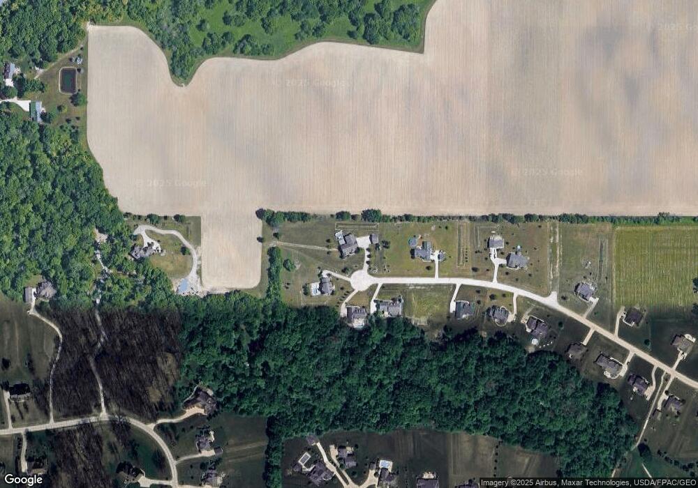
Map
Nearby Homes
- 40163 Banks Rd
- 40175 Banks Rd
- 40185 Banks Rd
- 41635 Parsons Rd
- 11861 Indian Hollow Rd
- 10556 Lagrange Rd
- 11632 Robson Rd
- 114 River Run Dr
- 150 River Run Dr
- 158 River Run Dr
- 40000 Myrtle Ct
- 38627 Bear Creek Dr
- 221 River Run Dr
- 238 Leather Leaf Dr
- 10832 Indian Hollow Rd
- 414 Pheasant Run
- 1166 Hunting Hollow
- Alberti Ranch w/ Finished Basement Plan at Fox Run
- Palladio Ranch w/ Finished Basement Plan at Fox Run
- Cumberland w/ Finished Basement Plan at Fox Run
- 41350 Ravines Edge Way
- 41342 Ravines Edge Way
- 41300 Ravines Edge Way
- 41265 Ravines Edge Way
- 41264 Ravines Edge Way
- 41248 Ravines Edge Way
- 41201 Ravines Edge Way
- 41200 Ravines Edge Way
- 41172 Ravines Edge Way
- 41315 Dent Ct
- 164 Mallard Creek Run
- 41295 Mills Cir
- 41317 Dent Ct
- 41137 Ravines Edge Way
- 41311 Mills Cir
- 162 Mallard Creek Run
- 41138 Ravines Edge Way
- 168 Mallard Creek Run
- 41319 Dent Ct
- 160 Mallard Creek Run