Estimated Value: $499,000 - $599,000
3
Beds
4
Baths
2,830
Sq Ft
$194/Sq Ft
Est. Value
About This Home
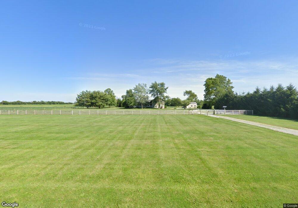
This home is located at 4137 Straley Rd, Xenia, OH 45385 and is currently estimated at $548,653, approximately $193 per square foot. 4137 Straley Rd is a home located in Greene County with nearby schools including Cedarville Elementary School and Cedarville High School.
Ownership History
Date
Name
Owned For
Owner Type
Purchase Details
Closed on
Sep 30, 2021
Sold by
Snyder Jeffrey M and Snyder Cindy K
Bought by
Kimm Lori L
Current Estimated Value
Home Financials for this Owner
Home Financials are based on the most recent Mortgage that was taken out on this home.
Original Mortgage
$344,000
Outstanding Balance
$313,696
Interest Rate
2.8%
Mortgage Type
New Conventional
Estimated Equity
$234,957
Purchase Details
Closed on
Sep 20, 2005
Sold by
Pierce Eric S and Pierce Sharon F
Bought by
Snyder Jeffrey M and Snyder Cindy K L
Home Financials for this Owner
Home Financials are based on the most recent Mortgage that was taken out on this home.
Original Mortgage
$217,600
Interest Rate
6.01%
Mortgage Type
Unknown
Create a Home Valuation Report for This Property
The Home Valuation Report is an in-depth analysis detailing your home's value as well as a comparison with similar homes in the area
Home Values in the Area
Average Home Value in this Area
Purchase History
| Date | Buyer | Sale Price | Title Company |
|---|---|---|---|
| Kimm Lori L | $430,000 | Home Site Title Agency | |
| Snyder Jeffrey M | $272,000 | -- |
Source: Public Records
Mortgage History
| Date | Status | Borrower | Loan Amount |
|---|---|---|---|
| Open | Kimm Lori L | $344,000 | |
| Previous Owner | Snyder Jeffrey M | $217,600 |
Source: Public Records
Tax History Compared to Growth
Tax History
| Year | Tax Paid | Tax Assessment Tax Assessment Total Assessment is a certain percentage of the fair market value that is determined by local assessors to be the total taxable value of land and additions on the property. | Land | Improvement |
|---|---|---|---|---|
| 2024 | $5,086 | $123,740 | $26,830 | $96,910 |
| 2023 | $5,086 | $123,740 | $26,830 | $96,910 |
| 2022 | $4,654 | $95,610 | $23,000 | $72,610 |
| 2021 | $4,707 | $95,610 | $23,000 | $72,610 |
| 2020 | $4,382 | $95,610 | $23,000 | $72,610 |
| 2019 | $4,336 | $85,920 | $19,450 | $66,470 |
| 2018 | $4,381 | $85,920 | $19,450 | $66,470 |
| 2017 | $4,151 | $85,920 | $19,450 | $66,470 |
| 2016 | $4,028 | $81,080 | $17,740 | $63,340 |
| 2015 | $4,022 | $81,080 | $17,740 | $63,340 |
| 2014 | $3,932 | $81,080 | $17,740 | $63,340 |
Source: Public Records
Map
Nearby Homes
- 978 State Route 72 N
- 4.377 ac Cherry Grove Rd
- 643 Brickel Rd
- 12.139ac Cherry Grove Rd
- 56 Turnbull Rd
- 28 N Main St
- 0 Brickel Rd Unit 1850484
- 2486 Chicory Trail S
- 2494 Chicory Trail S
- 3318 Us Route 42 E
- 2497 Chicory Trail S
- 8 Maplewood Dr
- 3398 US Route 42 E
- 3 Brookside St
- 4270 Shawnee Trail
- 4184 Shawnee Trail
- 4208 Shawnee Trail
- 14 Brookside St
- 280 S Charleston Rd
- 4737 Cottonville Rd
- 4225 Straley Rd
- 4070 Straley Rd
- 1379 State Route 72 N
- 1397 State Route 72 N
- 3927 Straley Rd
- 1413 State Route 72 N
- 1437 Ohio 72
- 1437 State Route 72 N
- 3891 Straley Rd
- 1457 State Route 72 N
- 1432 State Route 72 N
- 1432 State Route 72 N
- 3867 Straley Rd
- 976 Rakestraw Rd
- 1040 Rakestraw Rd
- 3911 Federal Rd
- 3859 Straley Rd
- 977 Rakestraw Rd
- 4190 Wolford Rd
- 4190 Wolford Rd