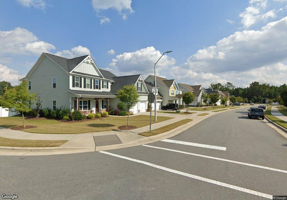
414 Admiral Way Unit Lot 21 Knightdale, NC 27545
Estimated Value: $719,000 - $841,134
5
Beds
4
Baths
3,465
Sq Ft
$225/Sq Ft
Est. Value
About This Home
This home is located at 414 Admiral Way Unit Lot 21, Knightdale, NC 27545 and is currently estimated at $778,034, approximately $224 per square foot. 414 Admiral Way Unit Lot 21 is a home located in Wake County with nearby schools including Lockhart Elementary School, Neuse River Middle School, and Knightdale High.
Ownership History
Date
Name
Owned For
Owner Type
Purchase Details
Closed on
Feb 21, 2017
Sold by
Mckee Homes Llc
Bought by
Shah Dhara A and Patel Nisarg B
Current Estimated Value
Home Financials for this Owner
Home Financials are based on the most recent Mortgage that was taken out on this home.
Original Mortgage
$371,146
Outstanding Balance
$186,989
Interest Rate
4.12%
Mortgage Type
New Conventional
Estimated Equity
$591,045
Create a Home Valuation Report for This Property
The Home Valuation Report is an in-depth analysis detailing your home's value as well as a comparison with similar homes in the area
Home Values in the Area
Average Home Value in this Area
Purchase History
| Date | Buyer | Sale Price | Title Company |
|---|---|---|---|
| Shah Dhara A | $391,000 | None Available |
Source: Public Records
Mortgage History
| Date | Status | Borrower | Loan Amount |
|---|---|---|---|
| Open | Shah Dhara A | $371,146 |
Source: Public Records
Tax History Compared to Growth
Tax History
| Year | Tax Paid | Tax Assessment Tax Assessment Total Assessment is a certain percentage of the fair market value that is determined by local assessors to be the total taxable value of land and additions on the property. | Land | Improvement |
|---|---|---|---|---|
| 2025 | -- | $772,269 | $85,000 | $687,269 |
| 2024 | $7,384 | $772,269 | $85,000 | $687,269 |
| 2023 | $5,171 | $465,270 | $95,000 | $370,270 |
| 2022 | $4,996 | $465,270 | $95,000 | $370,270 |
| 2021 | $4,766 | $465,270 | $95,000 | $370,270 |
| 2020 | $4,766 | $465,270 | $95,000 | $370,270 |
| 2019 | $4,531 | $392,018 | $70,000 | $322,018 |
| 2018 | $4,271 | $392,018 | $70,000 | $322,018 |
| 2017 | $1,868 | $178,800 | $70,000 | $108,800 |
| 2016 | $721 | $70,000 | $70,000 | $0 |
Source: Public Records
Map
Nearby Homes
- Preston Plan at Harrisburg Station at Knightdale Station - 50' Homesites
- Jessamine Plan at Harrisburg Station at Knightdale Station - 60' Homesites
- Cypress Plan at Harrisburg Station at Knightdale Station - 50' Homesites
- Magnolia Plan at Harrisburg Station at Knightdale Station - 60' Homesites
- Barton Plan at Harrisburg Station at Knightdale Station - 50' Homesites
- Longleaf Plan at Harrisburg Station at Knightdale Station - 50' Homesites
- Redbud Plan at Harrisburg Station at Knightdale Station - 60' Homesites
- Millbrook Plan at Harrisburg Station at Knightdale Station - 60' Homesites
- Hargrove Plan at Harrisburg Station at Knightdale Station - 50' Homesites
- Red Oak Plan at Harrisburg Station at Knightdale Station - 60' Homesites
- 7716 Knightdale Blvd
- 728 Lightrail Dr
- 732 Lightrail Dr
- 732 Portland Rose Dr
- 761 Portland Rose Dr
- 809 Portland Rose Dr
- 605 Metroliner Place
- 514 Sunland Dr
- 524 Twin Star Ln
- 920 Bostonian Dr
- 418 Admiral Way
- 410 Admiral Way Unit Lot 22
- 410 Admiral Way
- 606 Silverliner Dr
- 406 Admiral Way Unit Lot 23
- 406 Admiral Way
- 548 Silverliner Dr
- 427 Banner Blue Ct Unit 40
- 402 Admiral Way Unit Lot 24
- 402 Admiral Way
- 605 Silverliner Dr
- 542 Silverliner Dr Unit Lot 38
- 549 Silverliner Dr Unit Lot 18
- 549 Silverliner Dr
- 423 Banner Blue Ct Unit 41
- 423 Banner Blue Ct
- 740 T Ln
- 306 Admiral Way Unit Lot 25
- 545 Silverliner Dr Unit Lot 17
- 536 Silverliner Dr Unit Lot 37