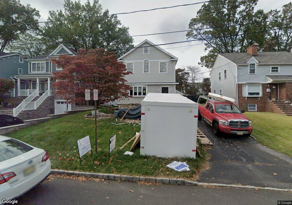
414 Codding Rd Westfield, NJ 07090
Estimated Value: $790,000 - $926,000
--
Bed
--
Bath
2,014
Sq Ft
$435/Sq Ft
Est. Value
About This Home
This home is located at 414 Codding Rd, Westfield, NJ 07090 and is currently estimated at $875,868, approximately $434 per square foot. 414 Codding Rd is a home located in Union County with nearby schools including McKinley Elementary School, Edison Intermediate School, and Westfield Senior High School.
Ownership History
Date
Name
Owned For
Owner Type
Purchase Details
Closed on
Nov 30, 2005
Sold by
Pietrewicz Brian A
Current Estimated Value
Home Financials for this Owner
Home Financials are based on the most recent Mortgage that was taken out on this home.
Original Mortgage
$33,800
Outstanding Balance
$19,024
Interest Rate
6.39%
Mortgage Type
Purchase Money Mortgage
Estimated Equity
$856,845
Purchase Details
Closed on
Apr 11, 2002
Sold by
Burman David Y
Bought by
Pietrewicz Brian A and Pietrewicz Jennifer A
Home Financials for this Owner
Home Financials are based on the most recent Mortgage that was taken out on this home.
Original Mortgage
$291,125
Interest Rate
6.85%
Purchase Details
Closed on
Sep 5, 1996
Sold by
Garrity Joseph D and Garrity Joann P
Bought by
Burman David Y
Create a Home Valuation Report for This Property
The Home Valuation Report is an in-depth analysis detailing your home's value as well as a comparison with similar homes in the area
Home Values in the Area
Average Home Value in this Area
Purchase History
| Date | Buyer | Sale Price | Title Company |
|---|---|---|---|
| -- | $499,000 | -- | |
| Pietrewicz Brian A | $342,500 | -- | |
| Burman David Y | $220,000 | -- |
Source: Public Records
Mortgage History
| Date | Status | Borrower | Loan Amount |
|---|---|---|---|
| Open | -- | $33,800 | |
| Previous Owner | Pietrewicz Brian A | $291,125 |
Source: Public Records
Tax History Compared to Growth
Tax History
| Year | Tax Paid | Tax Assessment Tax Assessment Total Assessment is a certain percentage of the fair market value that is determined by local assessors to be the total taxable value of land and additions on the property. | Land | Improvement |
|---|---|---|---|---|
| 2025 | $11,843 | $525,900 | $313,100 | $212,800 |
| 2024 | $11,601 | $525,900 | $313,100 | $212,800 |
| 2023 | $11,601 | $525,900 | $313,100 | $212,800 |
| 2022 | $11,359 | $525,900 | $313,100 | $212,800 |
| 2021 | $11,375 | $525,900 | $313,100 | $212,800 |
| 2020 | $11,349 | $525,900 | $313,100 | $212,800 |
| 2019 | $11,307 | $525,900 | $313,100 | $212,800 |
| 2018 | $11,370 | $122,300 | $46,500 | $75,800 |
| 2017 | $11,308 | $122,300 | $46,500 | $75,800 |
| 2016 | $11,042 | $122,300 | $46,500 | $75,800 |
| 2015 | $10,822 | $122,300 | $46,500 | $75,800 |
| 2014 | $10,465 | $122,300 | $46,500 | $75,800 |
Source: Public Records
Map
Nearby Homes
- 525 Edgar Rd
- 538 Westfield Ave
- 724 South Ave W Unit 724A
- 522 Boulevard
- 215 Ross Place Unit J
- 203 Ross Place
- 608 Hort St
- 314 Highgate Ave
- 303 Prospect St
- 119 Lamberts Mill Rd
- 1466 Lamberts Mill Rd
- 2154 W Broad St
- 814 Summit Ave
- 817 Summit Ave
- 834 Tice Place
- 676 Vermont St
- 629 Clark St
- 415 Highland Ave
- 534 E Broad St
- 2116 Newark Ave