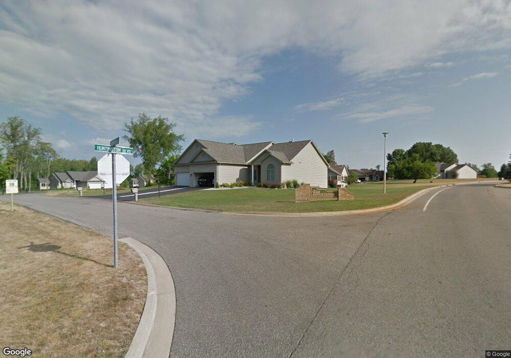
414 Coventry Rd Battle Creek, MI 49015
Westlake Prairieview NeighborhoodEstimated Value: $359,729 - $371,000
3
Beds
3
Baths
2,802
Sq Ft
$130/Sq Ft
Est. Value
About This Home
This home is located at 414 Coventry Rd, Battle Creek, MI 49015 and is currently estimated at $365,182, approximately $130 per square foot. 414 Coventry Rd is a home located in Calhoun County with nearby schools including Lakeview Middle School, Lakeview High School, and Arbor Academy.
Ownership History
Date
Name
Owned For
Owner Type
Purchase Details
Closed on
May 22, 2024
Sold by
Romans Marlene K and Prior David L
Bought by
Living Trust and Romans
Current Estimated Value
Purchase Details
Closed on
Feb 2, 2021
Sold by
Prior David L and Romans Marlene K
Bought by
Prior David L and Romans Marlene K
Purchase Details
Closed on
Apr 22, 2011
Sold by
Stetler Built Homes Inc
Bought by
Prior David L and David L Prior Trust
Create a Home Valuation Report for This Property
The Home Valuation Report is an in-depth analysis detailing your home's value as well as a comparison with similar homes in the area
Home Values in the Area
Average Home Value in this Area
Purchase History
| Date | Buyer | Sale Price | Title Company |
|---|---|---|---|
| Living Trust | -- | None Listed On Document | |
| Prior David L | -- | None Available | |
| Prior David L | -- | None Available | |
| Romans Marlene K | -- | None Available | |
| Prior David L | $257,167 | First American Title Ins Co |
Source: Public Records
Tax History Compared to Growth
Tax History
| Year | Tax Paid | Tax Assessment Tax Assessment Total Assessment is a certain percentage of the fair market value that is determined by local assessors to be the total taxable value of land and additions on the property. | Land | Improvement |
|---|---|---|---|---|
| 2025 | -- | $156,600 | $0 | $0 |
| 2024 | $5,249 | $156,031 | $0 | $0 |
| 2023 | $0 | $141,020 | $0 | $0 |
| 2022 | $4,741 | $134,137 | $0 | $0 |
| 2021 | $5,821 | $130,497 | $0 | $0 |
| 2020 | $5,343 | $122,602 | $0 | $0 |
| 2019 | $5,343 | $125,357 | $0 | $0 |
| 2018 | $5,343 | $113,910 | $5,192 | $108,718 |
| 2017 | $5,159 | $115,145 | $0 | $0 |
| 2016 | $5,150 | $114,978 | $0 | $0 |
| 2015 | $5,455 | $108,835 | $0 | $0 |
| 2014 | $5,455 | $121,957 | $0 | $0 |
Source: Public Records
Map
Nearby Homes
- 413 Coventry Rd
- 411 Coventry Rd
- 2154 Gethings Rd
- 183 Barrington Cir Unit 19
- 175 Barrington Cir Unit 18
- 167 Barrington Cir E Unit 17
- 0 Abbington & Barrington Land Unit (64 Sites) 24031062
- 101 Stonegate Dr
- 163 Stonegate Ct
- 119 Stonegate Dr
- 100 Stonegate Dr
- 3231 Gethings Rd
- 3249 Gethings Rd
- 15000 Stone Jug Rd
- 106 Stonegate Dr
- 176 Stonegate Ct
- 170 Stonegate Ct
- 155 Stonegate Ct
- 162 Stonegate Ct
- 156 Stonegate Ct
- 415 Coventry Rd
- 416 Coventry Rd
- 307 Beckett Park Unit 307
- 308 Beckett Park
- 417 Coventry Rd
- 410 Coventry Rd
- 309 Beckett Park Unit 309
- 409 Coventry Rd
- 310 Beckett Park Unit 310
- 100 Abbington Cir
- 408 Coventry Rd Unit 408
- 306 Beckett Park
- 407 Coventry Rd
- 106 Abbington Cir Unit 26
- 406 Coventry Rd Unit 406
- 405 Coventry Rd
- 304 Beckett Park
- 303 Beckett Park
- 302 Beckett Park
- 2175 Gethings Rd