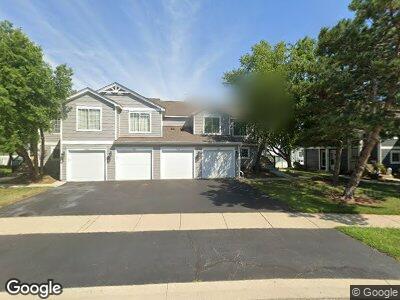
414 Drake Cir Unit 342B Schaumburg, IL 60193
South Schaumburg NeighborhoodEstimated Value: $255,920 - $292,000
2
Beds
--
Bath
1,200
Sq Ft
$226/Sq Ft
Est. Value
About This Home
This home is located at 414 Drake Cir Unit 342B, Schaumburg, IL 60193 and is currently estimated at $271,230, approximately $226 per square foot. 414 Drake Cir Unit 342B is a home located in Cook County with nearby schools including Michael Collins Elementary School, Robert Frost Junior High School, and J B Conant High School.
Ownership History
Date
Name
Owned For
Owner Type
Purchase Details
Closed on
Apr 24, 2001
Sold by
Devinny Denise M
Bought by
Devinny Denise M and Denise M Devinny Trust
Current Estimated Value
Create a Home Valuation Report for This Property
The Home Valuation Report is an in-depth analysis detailing your home's value as well as a comparison with similar homes in the area
Home Values in the Area
Average Home Value in this Area
Purchase History
| Date | Buyer | Sale Price | Title Company |
|---|---|---|---|
| Devinny Denise M | -- | -- |
Source: Public Records
Mortgage History
| Date | Status | Borrower | Loan Amount |
|---|---|---|---|
| Closed | Devinny Denise M | $125,000 | |
| Closed | Devinny Denise M | $52,000 |
Source: Public Records
Tax History Compared to Growth
Tax History
| Year | Tax Paid | Tax Assessment Tax Assessment Total Assessment is a certain percentage of the fair market value that is determined by local assessors to be the total taxable value of land and additions on the property. | Land | Improvement |
|---|---|---|---|---|
| 2024 | $3,733 | $19,900 | $4,663 | $15,237 |
| 2023 | $3,733 | $19,900 | $4,663 | $15,237 |
| 2022 | $3,733 | $19,900 | $4,663 | $15,237 |
| 2021 | $3,849 | $16,029 | $2,543 | $13,486 |
| 2020 | $3,851 | $16,029 | $2,543 | $13,486 |
| 2019 | $3,855 | $17,810 | $2,543 | $15,267 |
| 2018 | $2,682 | $12,371 | $2,119 | $10,252 |
| 2017 | $2,657 | $12,371 | $2,119 | $10,252 |
| 2016 | $2,727 | $12,371 | $2,119 | $10,252 |
| 2015 | $2,505 | $10,998 | $1,907 | $9,091 |
| 2014 | $2,494 | $10,998 | $1,907 | $9,091 |
| 2013 | $2,413 | $10,998 | $1,907 | $9,091 |
Source: Public Records
Map
Nearby Homes
- 402 Drake Cir Unit 332A
- 507 Mallard Ct Unit 507
- 1030 Newport Harbor Unit 5701
- 259 Nantucket Harbor Unit 402
- 625 Scholten Dr
- 704 Thames Dr
- 643 Summit Dr
- 36 Shore Dr
- 323 E Weathersfield Way
- 1223 Knottingham Ct Unit 2A
- 830 Knottingham Dr Unit 2B
- 617 Trent Ln
- 734 Bluejay Cir
- 711 Waterford Rd S Unit 2A
- 920 Surrey Dr Unit 1A
- 733 Limerick Ln Unit 7333D
- 157 Oliver Ct
- 717 Killarney Ct Unit 2A
- 719 Killarney Ct Unit 2B
- 609 Berkshire Ct
- 414 Drake Cir Unit 342B
- 410 Drake Cir Unit 341A
- 412 Drake Cir Unit 342A
- 416 Drake Cir Unit 341B
- 420 Drake Cir Unit 351A
- 422 Drake Cir Unit 352A
- 424 Drake Cir Unit 352B
- 400 Drake Cir Unit 331A
- 406 Drake Cir Unit 331B
- 404 Drake Cir Unit 332B
- 426 Drake Cir Unit 351B
- 900 Cartwright Ln
- 415 Drake Cir Unit 402A
- 417 Drake Cir Unit 401A
- 417 Drake Cir Unit TOWNHOME
- 411 Drake Cir Unit 401B
- 413 Drake Cir Unit 402B
- 902 Cartwright Ln
- 432 Drake Cir Unit 362A
- 434 Drake Cir Unit 362B