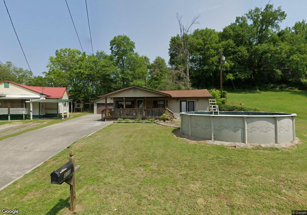
414 Duncan St Newport, TN 37821
Estimated Value: $117,000 - $222,000
--
Bed
2
Baths
1,114
Sq Ft
$167/Sq Ft
Est. Value
About This Home
This home is located at 414 Duncan St, Newport, TN 37821 and is currently estimated at $185,884, approximately $166 per square foot. 414 Duncan St is a home located in Cocke County with nearby schools including Newport Grammar School, Grace Christian School, and Calvary Baptist Tabernacle School.
Ownership History
Date
Name
Owned For
Owner Type
Purchase Details
Closed on
Jul 12, 2013
Sold by
Secretary Of Housing And U
Bought by
Mayes Tammy
Current Estimated Value
Home Financials for this Owner
Home Financials are based on the most recent Mortgage that was taken out on this home.
Original Mortgage
$58,665
Outstanding Balance
$42,802
Interest Rate
4%
Mortgage Type
Cash
Estimated Equity
$143,082
Purchase Details
Closed on
Sep 13, 2012
Sold by
Wise Michael
Bought by
Secretary Of Housing And Urban and Conn C O Michaelson
Purchase Details
Closed on
Sep 11, 2012
Sold by
Wise Michael
Bought by
Secretary Of Housing And Ubran Dev
Create a Home Valuation Report for This Property
The Home Valuation Report is an in-depth analysis detailing your home's value as well as a comparison with similar homes in the area
Home Values in the Area
Average Home Value in this Area
Purchase History
| Date | Buyer | Sale Price | Title Company |
|---|---|---|---|
| Mayes Tammy | $46,000 | -- | |
| Secretary Of Housing And Urban | $132,760 | -- | |
| Secretary Of Housing And Ubran Dev | $132,800 | -- |
Source: Public Records
Mortgage History
| Date | Status | Borrower | Loan Amount |
|---|---|---|---|
| Open | Mayes Tammy | $58,665 |
Source: Public Records
Tax History Compared to Growth
Tax History
| Year | Tax Paid | Tax Assessment Tax Assessment Total Assessment is a certain percentage of the fair market value that is determined by local assessors to be the total taxable value of land and additions on the property. | Land | Improvement |
|---|---|---|---|---|
| 2024 | $1,217 | $24,475 | $2,525 | $21,950 |
| 2023 | $1,217 | $24,475 | $2,525 | $21,950 |
| 2022 | $1,218 | $24,475 | $2,525 | $21,950 |
| 2021 | $1,218 | $24,475 | $2,525 | $21,950 |
| 2020 | $1,218 | $24,475 | $2,525 | $21,950 |
| 2019 | $1,167 | $21,350 | $2,525 | $18,825 |
| 2018 | $1,159 | $21,200 | $2,375 | $18,825 |
| 2017 | $1,227 | $21,200 | $2,375 | $18,825 |
| 2016 | $1,160 | $21,200 | $2,375 | $18,825 |
| 2015 | $964 | $21,200 | $2,375 | $18,825 |
| 2014 | $964 | $21,200 | $2,375 | $18,825 |
| 2013 | $964 | $23,250 | $2,500 | $20,750 |
Source: Public Records
Map
Nearby Homes
- 401 North St
- 0 Long Ave
- 240 Clifton Heights Rd
- 551 Clifton Heights Rd
- 294 Clifton Heights Rd
- 380 Clifton Heights Rd
- 613 North St
- 300 Harvest St
- 278 Harvest St
- 638 N Cecil St
- 640 N Cecil St
- 141 Hiola St
- 491 Justus St
- 208 Mims Ave
- 580 Jessica Way
- 573 Banjo Way
- 241 & 245 White Oak Ave
- 000 Cindy jo Rd
- 582 Cindy jo Rd
- 228 Washington Ave
- 422 Duncan St
- 406 Duncan St
- 164 Smith St
- 421 Duncan St
- 421 Duncan St
- 415 Duncan St
- 177 S Susong St
- 434 Duncan St
- 183 S Susong St
- 150 Smith St
- 4238 Miller Ridge Rd
- 429 Duncan St
- 0 421 and 429 Duncan St Unit 1187056
- 0 421 & 429 Duncan St Unit 1187055
- 187 S Susong St
- 172 Smith St
- 140 Miller Ridge Rd
- 161 Smith St
- 144 Smith St
- 191 S Susong St