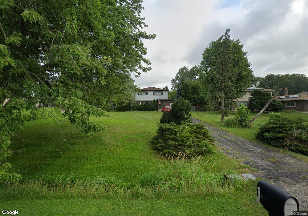
414 E Niagara Ave Unit 2 Schaumburg, IL 60193
South Schaumburg NeighborhoodEstimated Value: $457,000 - $538,000
3
Beds
2
Baths
1,580
Sq Ft
$308/Sq Ft
Est. Value
About This Home
This home is located at 414 E Niagara Ave Unit 2, Schaumburg, IL 60193 and is currently estimated at $486,166, approximately $307 per square foot. 414 E Niagara Ave Unit 2 is a home located in Cook County with nearby schools including Frederick Nerge Elementary School, Margaret Mead Junior High School, and J B Conant High School.
Ownership History
Date
Name
Owned For
Owner Type
Purchase Details
Closed on
Jul 23, 1997
Sold by
Balslew Ronald J and Balslew Maria
Bought by
Ibsen Jeffrey G
Current Estimated Value
Home Financials for this Owner
Home Financials are based on the most recent Mortgage that was taken out on this home.
Original Mortgage
$40,000
Interest Rate
7.56%
Create a Home Valuation Report for This Property
The Home Valuation Report is an in-depth analysis detailing your home's value as well as a comparison with similar homes in the area
Home Values in the Area
Average Home Value in this Area
Purchase History
| Date | Buyer | Sale Price | Title Company |
|---|---|---|---|
| Ibsen Jeffrey G | $116,000 | Attorneys Natl Title Network |
Source: Public Records
Mortgage History
| Date | Status | Borrower | Loan Amount |
|---|---|---|---|
| Closed | Ibsen Jeffrey G | $40,000 |
Source: Public Records
Tax History Compared to Growth
Tax History
| Year | Tax Paid | Tax Assessment Tax Assessment Total Assessment is a certain percentage of the fair market value that is determined by local assessors to be the total taxable value of land and additions on the property. | Land | Improvement |
|---|---|---|---|---|
| 2024 | $9,436 | $37,000 | $11,680 | $25,320 |
| 2023 | $9,122 | $37,000 | $11,680 | $25,320 |
| 2022 | $9,122 | $37,000 | $11,680 | $25,320 |
| 2021 | $9,182 | $33,624 | $32,850 | $774 |
| 2020 | $9,092 | $33,624 | $32,850 | $774 |
| 2019 | $9,013 | $33,624 | $32,850 | $774 |
| 2018 | $9,412 | $31,361 | $27,740 | $3,621 |
| 2017 | $9,263 | $31,361 | $27,740 | $3,621 |
| 2016 | $9,414 | $31,361 | $27,740 | $3,621 |
| 2015 | $8,612 | $26,382 | $23,360 | $3,022 |
| 2014 | $8,516 | $26,382 | $23,360 | $3,022 |
| 2013 | $8,297 | $26,382 | $23,360 | $3,022 |
Source: Public Records
Map
Nearby Homes
- 426 E Niagara Ave
- 421 E Wise Rd
- 1139 Rothbury Ct
- 1100 Boston Harbor Unit 7004
- 620 S Point Dr
- 205 Nantucket Harbor Unit 104
- 124 E Monterey Ave
- 916 Manchester Cir Unit 91A
- 126 Manchester Ct Unit 61B
- 1224 Knottingham Ct Unit 1A
- 826 Thornton Ct Unit 2AL
- 833 Thornton Ct Unit 2B
- 36 Shore Dr
- 718 N Point Dr
- 1623 Indian Hill Dr
- 1845 Maryland Dr
- 1810 Hawk Ln
- 1630 Myrtle Park St
- 1630 Myrtle Park St
- 1630 Myrtle Park St
- 420 E Niagara Ave
- 1227 Summit Dr
- 1233 Summit Dr
- 1219 Summit Dr
- 415 E Wise Rd
- 1211 Summit Dr
- 423 E Niagara Ave
- 432 E Niagara Ave
- 417 E Niagara Ave
- 411 E Niagara Ave
- 431 E Niagara Ave
- 401 E Niagara Ave
- 1209 Summit Dr
- 500 E Niagara Ave
- 427 E Wise Rd Unit 2
- 1222 Summit Dr
- 1300 Summit Dr
- 1300 Sunset Dr
- 1216 Summit Dr
- 433 E Wise Rd