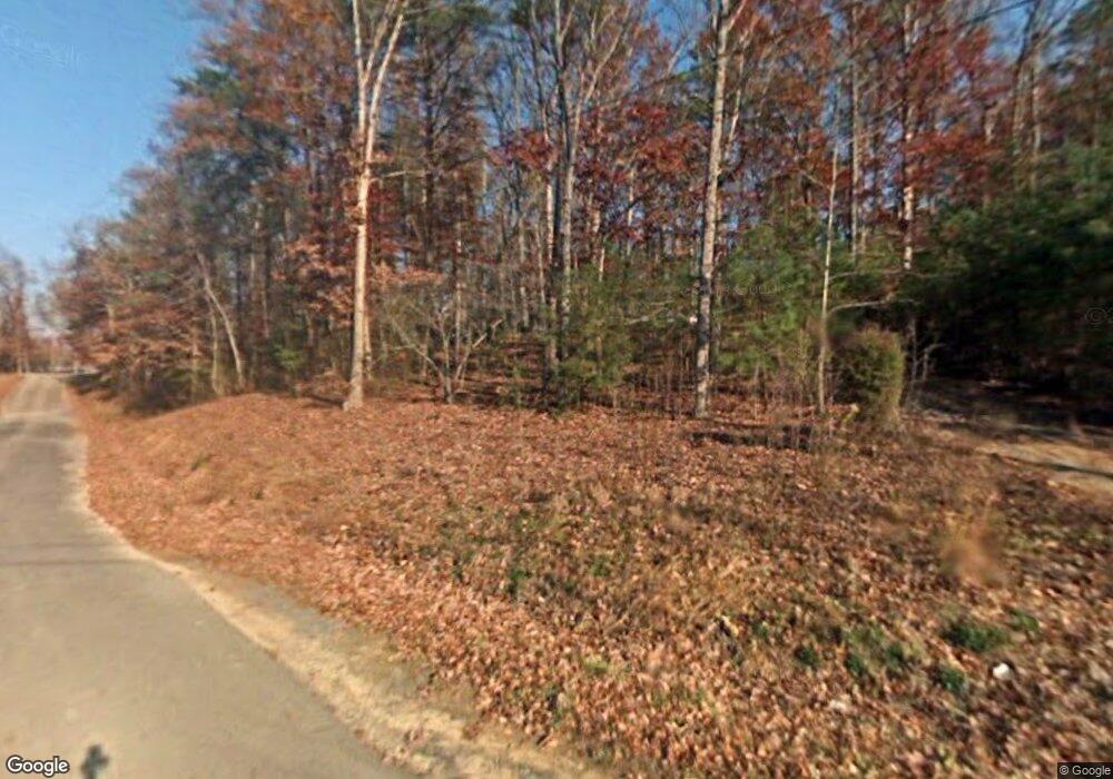
414 Pinhook Rd Chatsworth, GA 30705
Estimated Value: $78,679 - $426,000
--
Bed
--
Bath
840
Sq Ft
$243/Sq Ft
Est. Value
About This Home
This home is located at 414 Pinhook Rd, Chatsworth, GA 30705 and is currently estimated at $204,420, approximately $243 per square foot. 414 Pinhook Rd is a home located in Murray County with nearby schools including Eton Elementary School, Bagley Middle School, and North Murray High School.
Ownership History
Date
Name
Owned For
Owner Type
Purchase Details
Closed on
Jan 11, 2018
Sold by
T & G Enterprises Llc
Bought by
Terro Todd
Current Estimated Value
Purchase Details
Closed on
Sep 26, 2002
Sold by
Penland Ii Gary P and Penland Susan L
Bought by
T & G Enterprises Llc
Purchase Details
Closed on
Dec 3, 2001
Sold by
Flood David Ray and Flood Veta K
Bought by
Penland Ii Gary P and Penland Susan L
Purchase Details
Closed on
Mar 20, 1998
Sold by
Bonner J L
Bought by
Flood David Ray
Purchase Details
Closed on
Nov 4, 1997
Sold by
Bonner Clarence H
Bought by
Bonner J L
Purchase Details
Closed on
Jun 13, 1990
Bought by
Bonner Clarence H
Create a Home Valuation Report for This Property
The Home Valuation Report is an in-depth analysis detailing your home's value as well as a comparison with similar homes in the area
Home Values in the Area
Average Home Value in this Area
Purchase History
| Date | Buyer | Sale Price | Title Company |
|---|---|---|---|
| Terro Todd | $7,500 | -- | |
| T & G Enterprises Llc | $39,000 | -- | |
| Penland Ii Gary P | $3,000 | -- | |
| Flood David Ray | $24,000 | -- | |
| Bonner J L | -- | -- | |
| Bonner Clarence H | $8,000 | -- |
Source: Public Records
Tax History Compared to Growth
Tax History
| Year | Tax Paid | Tax Assessment Tax Assessment Total Assessment is a certain percentage of the fair market value that is determined by local assessors to be the total taxable value of land and additions on the property. | Land | Improvement |
|---|---|---|---|---|
| 2024 | $248 | $10,540 | $6,480 | $4,060 |
| 2023 | $224 | $13,843 | $0 | $13,843 |
| 2022 | $221 | $9,196 | $6,160 | $3,036 |
| 2021 | $226 | $9,196 | $6,160 | $3,036 |
| 2020 | $219 | $8,916 | $5,880 | $3,036 |
| 2019 | $220 | $8,916 | $5,880 | $3,036 |
| 2018 | $220 | $8,916 | $5,880 | $3,036 |
| 2017 | $100 | $6,920 | $5,480 | $1,440 |
| 2016 | $233 | $10,280 | $8,840 | $1,440 |
| 2015 | -- | $10,280 | $8,840 | $1,440 |
| 2014 | -- | $10,280 | $8,840 | $1,440 |
| 2013 | -- | $0 | $0 | $0 |
Source: Public Records
Map
Nearby Homes
- 0 N Hwy 411 Hwy Unit 131373
- 158 Foxes Grove
- 118 Etna Dr
- 164 Poteet Rd
- 36 Foxes Grove
- 100 Wildrose Dr
- 127 Applewood Ln
- 99 Applewood Ln
- 162 Shawn Ln
- 250 Elbert St
- 11 Elbert St
- 118 Ellie Ln
- 156 Lyndsey Dr
- 181 Cobb Rd
- 126 Strickland Dr
- 232 Brandon Cir
- 232 Brandon Cir Unit Lot 21
- 201 Coffey Rd
- 0 Georgia 286
- 359 Norton Bridge Rd
