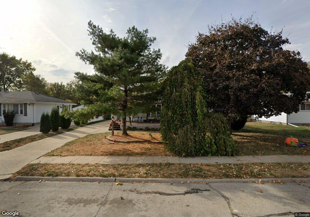
414 SW Maple St Ankeny, IA 50023
Southwest Ankeny NeighborhoodEstimated Value: $217,000 - $293,000
3
Beds
1
Bath
891
Sq Ft
$274/Sq Ft
Est. Value
About This Home
This home is located at 414 SW Maple St, Ankeny, IA 50023 and is currently estimated at $244,228, approximately $274 per square foot. 414 SW Maple St is a home located in Polk County with nearby schools including Parkview Middle School, Southview Middle School, and Ankeny High School.
Ownership History
Date
Name
Owned For
Owner Type
Purchase Details
Closed on
Feb 2, 2016
Sold by
Cochran Ronald L and Johnston Kristin M
Bought by
Ronald L Cochran Trust
Current Estimated Value
Purchase Details
Closed on
Dec 27, 2005
Sold by
Makovec Michael L and Makovec Amy F
Bought by
Johnston Daniel G and Johnston Kristin M
Purchase Details
Closed on
Dec 13, 2001
Sold by
Miller Perry W and Miller Brenda M
Bought by
Makovec Michael L and Makovec Amy E
Home Financials for this Owner
Home Financials are based on the most recent Mortgage that was taken out on this home.
Original Mortgage
$118,539
Interest Rate
6.52%
Mortgage Type
FHA
Purchase Details
Closed on
Jul 9, 1998
Sold by
Doggett Douglas J and Doggett Cynthia J
Bought by
Miller Perry W
Home Financials for this Owner
Home Financials are based on the most recent Mortgage that was taken out on this home.
Original Mortgage
$92,700
Interest Rate
7.15%
Create a Home Valuation Report for This Property
The Home Valuation Report is an in-depth analysis detailing your home's value as well as a comparison with similar homes in the area
Home Values in the Area
Average Home Value in this Area
Purchase History
| Date | Buyer | Sale Price | Title Company |
|---|---|---|---|
| Ronald L Cochran Trust | $85,000 | None Available | |
| Johnston Daniel G | $135,000 | -- | |
| Makovec Michael L | $120,000 | -- | |
| Miller Perry W | $89,500 | -- |
Source: Public Records
Mortgage History
| Date | Status | Borrower | Loan Amount |
|---|---|---|---|
| Previous Owner | Makovec Michael L | $118,539 | |
| Previous Owner | Miller Perry W | $92,700 |
Source: Public Records
Tax History
| Year | Tax Paid | Tax Assessment Tax Assessment Total Assessment is a certain percentage of the fair market value that is determined by local assessors to be the total taxable value of land and additions on the property. | Land | Improvement |
|---|---|---|---|---|
| 2025 | $3,126 | $199,700 | $55,800 | $143,900 |
| 2024 | $3,126 | $183,300 | $50,600 | $132,700 |
| 2023 | $3,088 | $183,300 | $50,600 | $132,700 |
| 2022 | $3,056 | $149,000 | $42,500 | $106,500 |
| 2021 | $2,968 | $149,000 | $42,500 | $106,500 |
| 2020 | $2,930 | $136,500 | $38,700 | $97,800 |
| 2019 | $2,826 | $136,500 | $38,700 | $97,800 |
| 2018 | $2,822 | $125,500 | $34,800 | $90,700 |
| 2017 | $2,704 | $125,500 | $34,800 | $90,700 |
| 2016 | $2,496 | $113,400 | $31,300 | $82,100 |
| 2015 | $2,496 | $113,400 | $31,300 | $82,100 |
| 2014 | $2,414 | $107,700 | $29,200 | $78,500 |
Source: Public Records
Map
Nearby Homes
- 402 SW Ash Dr
- 407 SW Des Moines St
- 504 SW Walnut St
- 1002 SW Kenworthy Dr
- 414 SW Des Moines St
- 1130 SW Lynn Dr
- 210 SW Des Moines St
- 553 SW Goodwin St
- 3316 NW 27th St
- 14.5 acres Pine Lake Estates Plat 2 St
- 1150 SW Lynn Dr
- 2907 SW Prairie Trail Pkwy
- 2911 SW Prairie Trail Pkwy
- 106 NW Scott St
- 101 NW Kline St
- 1229 SW Franklin Ct
- 510 SW Franklin Dr
- 426 S Ankeny Blvd
- 210 NW Kline St
- 1105 SW Des Moines St
Your Personal Tour Guide
Ask me questions while you tour the home.