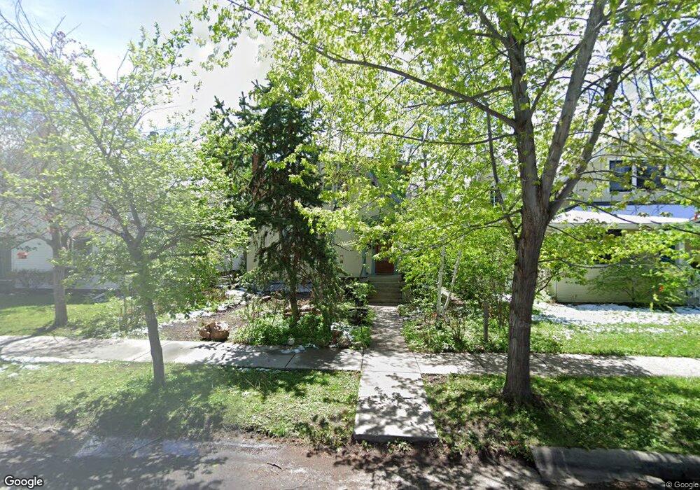
414 W Curtiss St Bozeman, MT 59715
Cooper Park NeighborhoodEstimated Value: $937,000 - $977,816
5
Beds
3
Baths
1,384
Sq Ft
$688/Sq Ft
Est. Value
About This Home
This home is located at 414 W Curtiss St, Bozeman, MT 59715 and is currently estimated at $951,704, approximately $687 per square foot. 414 W Curtiss St is a home located in Gallatin County with nearby schools including Irving Elementary School, Van Cortlandtville School, and Thomas Jefferson Elementary School.
Ownership History
Date
Name
Owned For
Owner Type
Purchase Details
Closed on
May 10, 2021
Sold by
Anker Jennifer Lowe and Anker Conrad
Bought by
Lowe James M
Current Estimated Value
Purchase Details
Closed on
Mar 29, 2016
Sold by
Marsted Elgin
Bought by
Lowe James M and Anker Jennifer Lowe
Home Financials for this Owner
Home Financials are based on the most recent Mortgage that was taken out on this home.
Original Mortgage
$319,200
Interest Rate
3.65%
Mortgage Type
New Conventional
Create a Home Valuation Report for This Property
The Home Valuation Report is an in-depth analysis detailing your home's value as well as a comparison with similar homes in the area
Home Values in the Area
Average Home Value in this Area
Purchase History
| Date | Buyer | Sale Price | Title Company |
|---|---|---|---|
| Lowe James M | -- | Security Title Company | |
| Lowe James M | -- | Security Title Company |
Source: Public Records
Mortgage History
| Date | Status | Borrower | Loan Amount |
|---|---|---|---|
| Previous Owner | Lowe James M | $319,200 |
Source: Public Records
Tax History Compared to Growth
Tax History
| Year | Tax Paid | Tax Assessment Tax Assessment Total Assessment is a certain percentage of the fair market value that is determined by local assessors to be the total taxable value of land and additions on the property. | Land | Improvement |
|---|---|---|---|---|
| 2025 | $4,387 | $909,400 | $0 | $0 |
| 2024 | $5,162 | $879,100 | $0 | $0 |
| 2023 | $5,654 | $879,100 | $0 | $0 |
| 2022 | $4,695 | $612,200 | $0 | $0 |
| 2021 | $5,181 | $612,200 | $0 | $0 |
| 2020 | $4,013 | $470,400 | $0 | $0 |
| 2019 | $4,105 | $470,400 | $0 | $0 |
| 2018 | $3,590 | $381,200 | $0 | $0 |
| 2017 | $3,356 | $381,200 | $0 | $0 |
| 2016 | $3,257 | $345,600 | $0 | $0 |
| 2015 | $3,036 | $321,800 | $0 | $0 |
| 2014 | $2,912 | $181,684 | $0 | $0 |
Source: Public Records
Map
Nearby Homes
- 516 W Olive St
- 425 W Olive St
- 401 S Grand Ave
- 418 W Babcock St
- 414 W Babcock St Unit 2
- 221 S 7th Ave
- 300 W Main St Unit G
- 300 W Main St Unit Q
- 507 S 8th Ave
- 622 & 624 S 8th
- 37 W Main St Unit A
- 5 W Mendenhall St Unit 414
- 5 W Mendenhall St Unit 510
- 5 W Mendenhall St Unit 410
- 5 W Mendenhall St Unit 415
- 728 S Tracy Ave
- 5 Francham Trail
- 509 W Cleveland St
- 911 S Willson Ave
- 19 E Lamme St
- 418 W Curtiss St
- 410 W Curtiss St
- 420 W Curtiss St
- 404 W Curtiss St
- 311 S 4th Ave
- 411 W Koch St
- 417 W Koch St
- 315 S 4th Ave
- 308 S 5th Ave
- 302 S 5th Ave
- 314 S 5th Ave
- 421 W Koch St
- 316 S 5th Ave
- 401 W Koch St
- 411 W Curtiss St
- 320 S 5th Ave
- 415 W Curtiss St
- 407 W Curtiss St
- 419 W Curtiss St
- 401 W Curtiss St