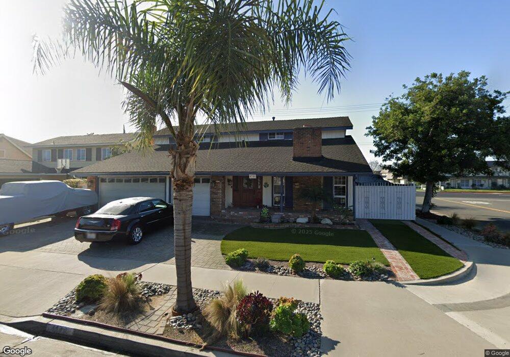
4144 Devon Cir Cypress, CA 90630
Estimated Value: $1,306,000 - $1,483,000
4
Beds
3
Baths
2,928
Sq Ft
$486/Sq Ft
Est. Value
About This Home
This home is located at 4144 Devon Cir, Cypress, CA 90630 and is currently estimated at $1,423,960, approximately $486 per square foot. 4144 Devon Cir is a home located in Orange County with nearby schools including Margaret Landell Elementary School, A.E. Arnold Elementary School, and Lexington Junior High School.
Ownership History
Date
Name
Owned For
Owner Type
Purchase Details
Closed on
May 16, 2001
Sold by
Kolb Leland F
Bought by
Shanahan John F and Shanahan Michele J
Current Estimated Value
Home Financials for this Owner
Home Financials are based on the most recent Mortgage that was taken out on this home.
Original Mortgage
$275,000
Interest Rate
7.26%
Create a Home Valuation Report for This Property
The Home Valuation Report is an in-depth analysis detailing your home's value as well as a comparison with similar homes in the area
Home Values in the Area
Average Home Value in this Area
Purchase History
| Date | Buyer | Sale Price | Title Company |
|---|---|---|---|
| Shanahan John F | $357,000 | Fidelity National Title Ins |
Source: Public Records
Mortgage History
| Date | Status | Borrower | Loan Amount |
|---|---|---|---|
| Previous Owner | Shanahan John F | $275,000 |
Source: Public Records
Tax History
| Year | Tax Paid | Tax Assessment Tax Assessment Total Assessment is a certain percentage of the fair market value that is determined by local assessors to be the total taxable value of land and additions on the property. | Land | Improvement |
|---|---|---|---|---|
| 2025 | $5,930 | $527,385 | $338,566 | $188,819 |
| 2024 | $5,930 | $517,045 | $331,928 | $185,117 |
| 2023 | $5,793 | $506,907 | $325,419 | $181,488 |
| 2022 | $5,725 | $496,968 | $319,038 | $177,930 |
| 2021 | $5,649 | $487,224 | $312,782 | $174,442 |
| 2020 | $5,626 | $482,229 | $309,575 | $172,654 |
| 2019 | $5,467 | $472,774 | $303,505 | $169,269 |
| 2018 | $5,393 | $463,504 | $297,554 | $165,950 |
| 2017 | $5,207 | $454,416 | $291,719 | $162,697 |
| 2016 | $5,163 | $445,506 | $285,999 | $159,507 |
| 2015 | $5,125 | $438,815 | $281,703 | $157,112 |
| 2014 | $4,852 | $430,220 | $276,185 | $154,035 |
Source: Public Records
Map
Nearby Homes
- 4200 Via Norte
- 22221 Bloomfield Ave Unit 11
- 22221 Bloomfield Ave Unit 16
- 22221 Bloomfield Ave Unit 47
- 4194 Paseo de Oro
- 22438 Claretta Ave
- 12550 Carson St Unit 79
- 9080 Bloomfield St Unit 257
- 9080 Bloomfield St Unit 231
- 9080 Bloomfield St Unit 270
- 9080 Bloomfield St Unit 145
- 9080 Bloomfield Ave Unit 31
- 9080 Bloomfield Ave Unit 257
- 9080 Bloomfield Ave Unit 126
- 9080 Bloomfield Ave Unit 223
- 9080 Bloomfield Ave Unit 108
- 9080 Bloomfield Ave Unit 33
- 9080 Bloomfield Ave Unit 72
- 9080 Bloomfield Ave Unit 230
- 9080 Bloomfield Ave Unit 209
- 4158 Devon Cir
- 4164 Devon Cir
- 9497 Somerset Ln
- 9487 Somerset Ln
- 4143 Devon Cir
- 4157 Devon Cir
- 9477 Somerset Ln
- 4151 Via Norte
- 4178 Devon Cir
- 4163 Via Norte
- 4163 Devon Cir
- 4140 Orange Ave
- 9467 Somerset Ln
- 4136 Orange Ave
- 4175 Via Norte
- 4132 Orange Ave
- 9496 Cambridge St
- 4177 Devon Cir
- 4192 Devon Cir
- 9486 Cambridge St
Your Personal Tour Guide
Ask me questions while you tour the home.