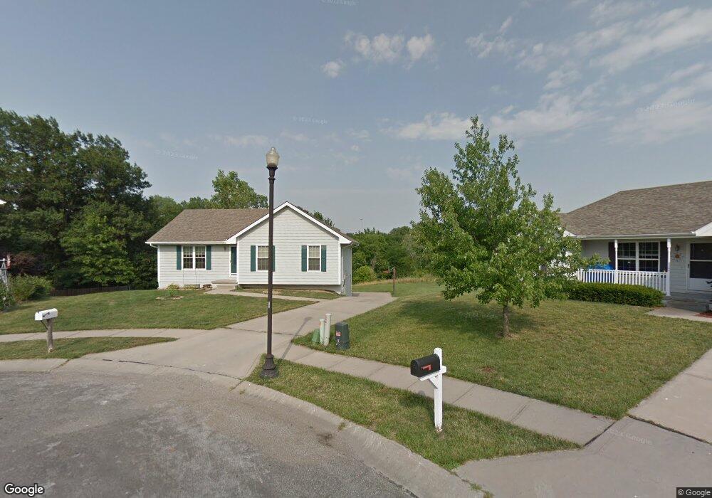
415 Brookside Cir Kearney, MO 64060
Estimated Value: $270,632 - $309,000
3
Beds
1
Bath
1,096
Sq Ft
$263/Sq Ft
Est. Value
About This Home
This home is located at 415 Brookside Cir, Kearney, MO 64060 and is currently estimated at $288,158, approximately $262 per square foot. 415 Brookside Cir is a home located in Clay County with nearby schools including Kearney Junior High School and Kearney High School.
Ownership History
Date
Name
Owned For
Owner Type
Purchase Details
Closed on
Dec 1, 2004
Sold by
Niehaus Jeffrey P
Bought by
Chaffee Abraham T and Chaffee Shannon L
Current Estimated Value
Home Financials for this Owner
Home Financials are based on the most recent Mortgage that was taken out on this home.
Original Mortgage
$133,597
Outstanding Balance
$66,683
Interest Rate
5.68%
Mortgage Type
Purchase Money Mortgage
Estimated Equity
$221,475
Purchase Details
Closed on
Jun 13, 2000
Sold by
Aartech Investments Inc
Bought by
Nichaus Jeffrey P
Home Financials for this Owner
Home Financials are based on the most recent Mortgage that was taken out on this home.
Original Mortgage
$102,141
Interest Rate
8.3%
Create a Home Valuation Report for This Property
The Home Valuation Report is an in-depth analysis detailing your home's value as well as a comparison with similar homes in the area
Home Values in the Area
Average Home Value in this Area
Purchase History
| Date | Buyer | Sale Price | Title Company |
|---|---|---|---|
| Chaffee Abraham T | -- | First American Title Ins Co | |
| Nichaus Jeffrey P | -- | First American Title Ins Co |
Source: Public Records
Mortgage History
| Date | Status | Borrower | Loan Amount |
|---|---|---|---|
| Open | Chaffee Abraham T | $133,597 | |
| Previous Owner | Nichaus Jeffrey P | $102,141 |
Source: Public Records
Tax History
| Year | Tax Paid | Tax Assessment Tax Assessment Total Assessment is a certain percentage of the fair market value that is determined by local assessors to be the total taxable value of land and additions on the property. | Land | Improvement |
|---|---|---|---|---|
| 2025 | $2,182 | $36,590 | -- | -- |
| 2024 | $2,182 | $31,840 | -- | -- |
| 2023 | $2,175 | $31,840 | $0 | $0 |
| 2022 | $1,959 | $27,740 | $0 | $0 |
| 2021 | $1,921 | $27,740 | $5,130 | $22,610 |
| 2020 | $1,952 | $25,650 | $0 | $0 |
| 2019 | $1,942 | $25,650 | $0 | $0 |
Source: Public Records
Map
Nearby Homes
- 2118 Glenside Rd
- 204 E 22nd St
- 200 E 20th Terrace
- 1933 Meadowlane
- 2371 Prairie Creek Dr
- 2367 Prairie Creek Dr
- 2119 Greenfield Point
- 2123 Greenfield Point
- 2121 Greenfield Point
- 2211 Prairie Creek Dr
- 1505 Emerald Cir
- 111 Dogwood Ln
- 107 Dogwood Ln
- 2357 Prairie Creek Dr
- 2001 Foxtail Point
- 801 Southbrook Pkwy
- 1845 Falcon Ct
- 2002 Foxtail Point
- 217 Old Trail Run
- 318 Old Trail Run N A
- 413 Brookside Cir
- 414 Brookside Cir
- 412 Brookside Cir
- 411 Brookside Cir
- 410 Brookside Cir
- 2115 Glenside Rd
- 2117 Glenside Rd
- 408 Brookside Cir
- 2113 Glenside Rd
- 2119 Glenside Rd
- 406 Brookside Cir
- 2121 Glenside Rd
- 2111 Glenside Rd
- 2123 Glenside Rd
- 405 E 21st St
- 407 E 21st St
- 2116 Glenside Rd
- 2114 Glenside Rd
- 2109 Glenside Rd
- 409 E 21st St
Your Personal Tour Guide
Ask me questions while you tour the home.