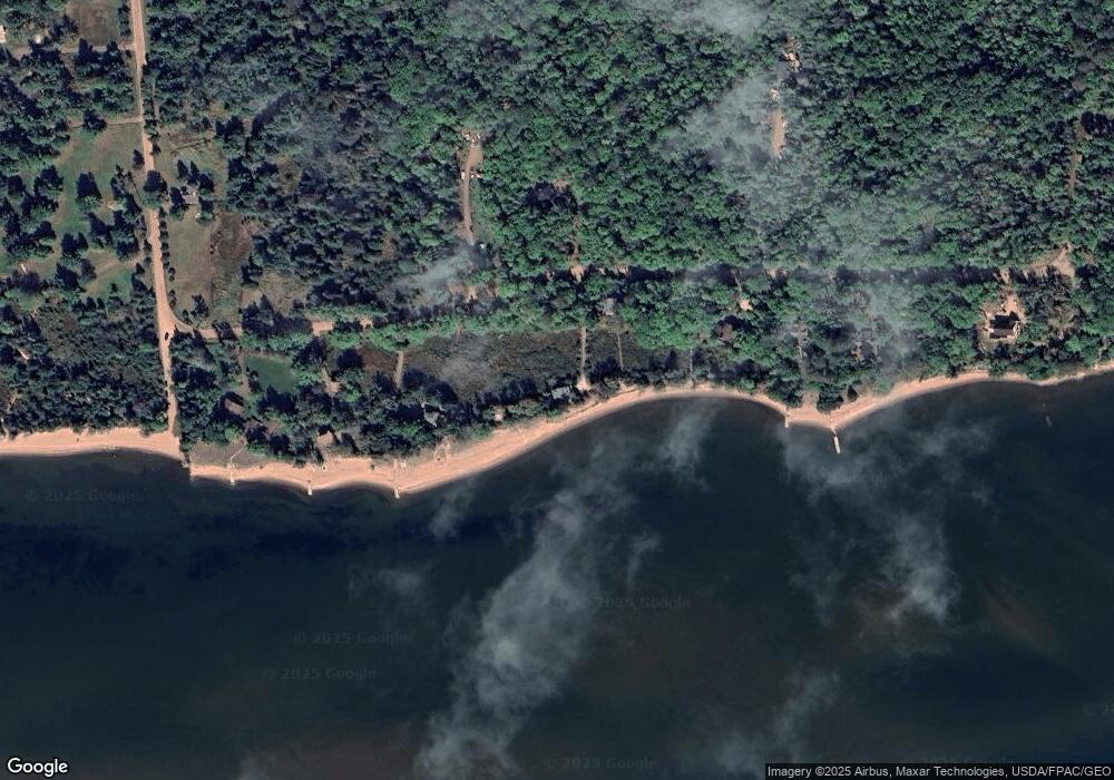
415 Capser Rd La Pointe, WI 54850
Estimated Value: $565,727 - $899,000
1
Bed
1
Bath
936
Sq Ft
$755/Sq Ft
Est. Value
About This Home
This home is located at 415 Capser Rd, La Pointe, WI 54850 and is currently estimated at $706,576, approximately $754 per square foot. 415 Capser Rd is a home with nearby schools including Bayfield High School.
Ownership History
Date
Name
Owned For
Owner Type
Purchase Details
Closed on
May 25, 2005
Sold by
Lyons Thomas E
Bought by
Mack Warren E and Mack Linda J
Current Estimated Value
Home Financials for this Owner
Home Financials are based on the most recent Mortgage that was taken out on this home.
Original Mortgage
$340,000
Outstanding Balance
$174,766
Interest Rate
5.62%
Mortgage Type
Adjustable Rate Mortgage/ARM
Estimated Equity
$531,810
Create a Home Valuation Report for This Property
The Home Valuation Report is an in-depth analysis detailing your home's value as well as a comparison with similar homes in the area
Home Values in the Area
Average Home Value in this Area
Purchase History
| Date | Buyer | Sale Price | Title Company |
|---|---|---|---|
| Mack Warren E | $425,000 | None Available |
Source: Public Records
Mortgage History
| Date | Status | Borrower | Loan Amount |
|---|---|---|---|
| Open | Mack Warren E | $340,000 |
Source: Public Records
Tax History Compared to Growth
Tax History
| Year | Tax Paid | Tax Assessment Tax Assessment Total Assessment is a certain percentage of the fair market value that is determined by local assessors to be the total taxable value of land and additions on the property. | Land | Improvement |
|---|---|---|---|---|
| 2024 | $10,461 | $508,100 | $312,900 | $195,200 |
| 2023 | $11,893 | $468,200 | $310,100 | $158,100 |
| 2022 | $11,021 | $468,200 | $310,100 | $158,100 |
| 2021 | $10,975 | $468,200 | $310,100 | $158,100 |
| 2020 | $10,680 | $468,200 | $310,100 | $158,100 |
| 2019 | $10,126 | $468,200 | $310,100 | $158,100 |
| 2018 | $9,523 | $468,200 | $310,100 | $158,100 |
| 2017 | $9,326 | $468,200 | $310,100 | $158,100 |
| 2016 | $9,343 | $468,200 | $310,100 | $158,100 |
| 2015 | $9,847 | $468,200 | $310,100 | $158,100 |
| 2014 | $9,145 | $502,700 | $344,600 | $158,100 |
| 2013 | $9,480 | $502,700 | $344,600 | $158,100 |
Source: Public Records
Map
Nearby Homes
- 365 Mondamin Tr
- 657 Spruce Ln
- 436 Bojo Ln
- Lot 2, Block 2 Raspberry Trail
- 438 Minnewawa Rd
- 434 Minnewawa Rd
- Lot 6, Block 1 Raspberry Trail
- Lot 3, Block 1 Raspberry Trail
- Lot 5 Raspberry Trail
- Lot 1, Block 2 Raspberry Trail
- 869 S Shore Rd
- Lot 1, Block 1 Raspberry Trail
- 804 Middle Rd
- 933 Nebraska Row Unit 916 Whitefish Street
- 873 Middle Rd Unit 871 Middle Rd
- 1161 Middle Rd
- 84195 State Highway 13
- Lots 1-5 Wilson Ave
- 11XXX Old Military Rd
- 33 N 1st St Unit 203
