Estimated Value: $353,000 - $399,324
3
Beds
1
Bath
1,056
Sq Ft
$356/Sq Ft
Est. Value
About This Home
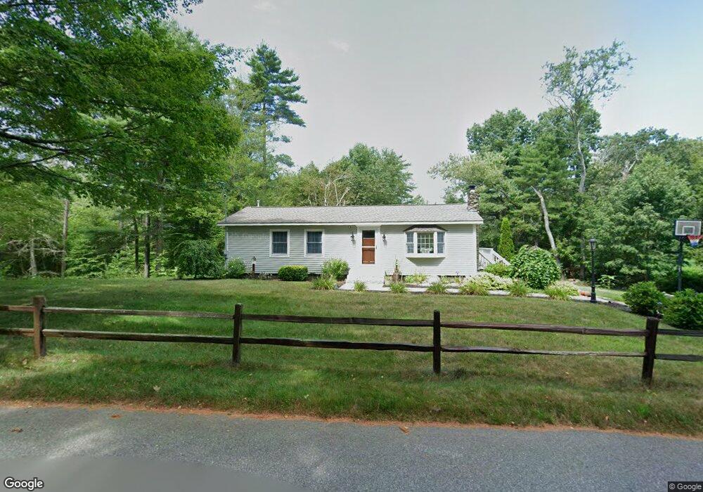
This home is located at 415 Conant Rd, Athol, MA 01331 and is currently estimated at $376,331, approximately $356 per square foot. 415 Conant Rd is a home located in Worcester County with nearby schools including Athol High School.
Ownership History
Date
Name
Owned For
Owner Type
Purchase Details
Closed on
Sep 27, 1990
Sold by
Lambirth James R
Bought by
Spagnola John W
Current Estimated Value
Home Financials for this Owner
Home Financials are based on the most recent Mortgage that was taken out on this home.
Original Mortgage
$99,129
Interest Rate
9.95%
Mortgage Type
Purchase Money Mortgage
Create a Home Valuation Report for This Property
The Home Valuation Report is an in-depth analysis detailing your home's value as well as a comparison with similar homes in the area
Home Values in the Area
Average Home Value in this Area
Purchase History
| Date | Buyer | Sale Price | Title Company |
|---|---|---|---|
| Spagnola John W | $100,000 | -- |
Source: Public Records
Mortgage History
| Date | Status | Borrower | Loan Amount |
|---|---|---|---|
| Open | Spagnola John W | $20,000 | |
| Closed | Spagnola John W | $99,129 | |
| Previous Owner | Spagnola John W | $23,868 | |
| Previous Owner | Spagnola John W | $60,000 |
Source: Public Records
Tax History
| Year | Tax Paid | Tax Assessment Tax Assessment Total Assessment is a certain percentage of the fair market value that is determined by local assessors to be the total taxable value of land and additions on the property. | Land | Improvement |
|---|---|---|---|---|
| 2025 | $4,015 | $315,900 | $106,700 | $209,200 |
| 2024 | $4,079 | $317,900 | $106,700 | $211,200 |
| 2023 | $3,997 | $284,700 | $93,700 | $191,000 |
| 2022 | $3,945 | $245,800 | $92,000 | $153,800 |
| 2021 | $3,846 | $217,800 | $83,900 | $133,900 |
| 2020 | $3,644 | $212,100 | $81,300 | $130,800 |
| 2019 | $3,713 | $212,800 | $77,100 | $135,700 |
| 2018 | $3,761 | $192,200 | $67,000 | $125,200 |
| 2017 | $3,893 | $175,700 | $67,000 | $108,700 |
| 2016 | $3,369 | $169,900 | $67,000 | $102,900 |
| 2015 | $3,233 | $169,900 | $67,000 | $102,900 |
| 2014 | $2,906 | $157,700 | $67,000 | $90,700 |
Source: Public Records
Map
Nearby Homes
- 321 Doe Valley Rd
- 1 Batchelder Rd
- 0 Riceville Rd Unit 73429842
- 0 Miles Rd
- Lot-2 Petersham Rd
- Lot 4 Petersham Rd
- 156 Vaughn Rd
- 572 Pleasant St
- 288 Chase Rd
- 62 Lindsay Ln
- 114 Smith St
- 132 Simonds St
- 217 Spring St
- 31 Kelton St
- 221 Harvard Ave
- 121 Spring St
- 133 Harvard Ave
- 53 Lake Ellis Rd
- 2428 Main St
- 474 Chestnut St
Your Personal Tour Guide
Ask me questions while you tour the home.