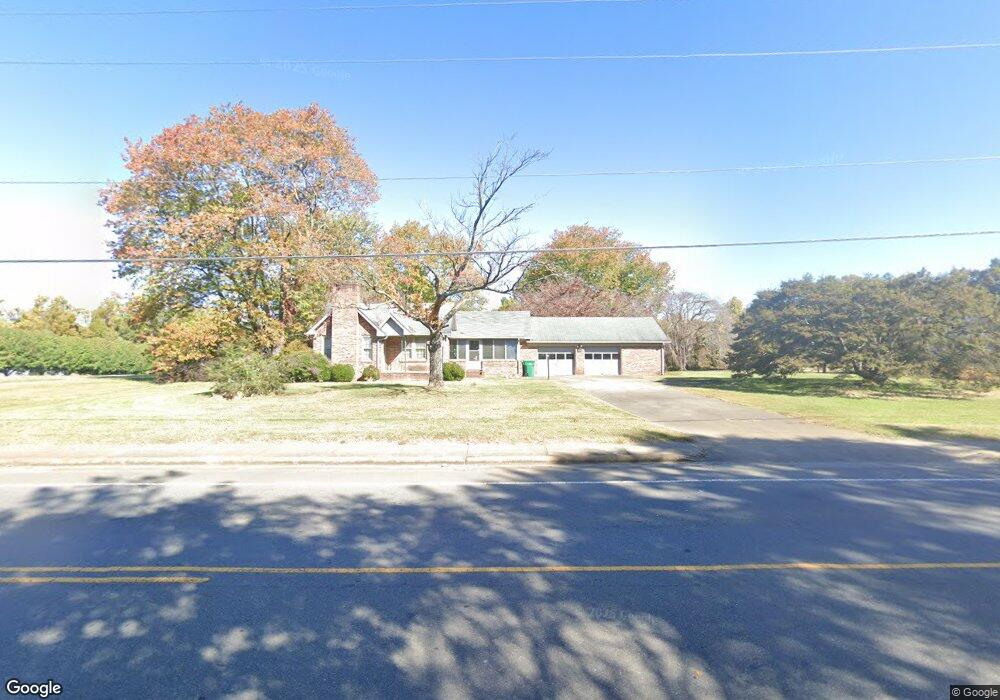
415 E Atkins St Dobson, NC 27017
Estimated Value: $961,791
Studio
8
Baths
4,636
Sq Ft
$207/Sq Ft
Est. Value
About This Home
This home is located at 415 E Atkins St, Dobson, NC 27017 and is currently estimated at $961,791, approximately $207 per square foot. 415 E Atkins St is a home located in Surry County with nearby schools including Dobson Elementary School, Central Middle School, and Surry Central High School.
Ownership History
Date
Name
Owned For
Owner Type
Purchase Details
Closed on
Jun 28, 2021
Sold by
East Atkins St Bus Pk Llc
Bought by
Pqa Healthcare Inc
Current Estimated Value
Home Financials for this Owner
Home Financials are based on the most recent Mortgage that was taken out on this home.
Original Mortgage
$660,000
Outstanding Balance
$597,548
Interest Rate
2.9%
Mortgage Type
Purchase Money Mortgage
Estimated Equity
$364,243
Purchase Details
Closed on
Dec 29, 2010
Sold by
Darnell Rodney L
Bought by
East Atkins Street Business Park Llc
Home Financials for this Owner
Home Financials are based on the most recent Mortgage that was taken out on this home.
Original Mortgage
$790,500
Interest Rate
4.48%
Mortgage Type
Future Advance Clause Open End Mortgage
Purchase Details
Closed on
Jan 1, 1971
Create a Home Valuation Report for This Property
The Home Valuation Report is an in-depth analysis detailing your home's value as well as a comparison with similar homes in the area
Purchase History
| Date | Buyer | Sale Price | Title Company |
|---|---|---|---|
| Pqa Healthcare Inc | $660,000 | None Available | |
| Pqa Healthcare Inc | $660,000 | None Listed On Document | |
| East Atkins Street Business Park Llc | -- | None Available | |
| -- | -- | -- |
Source: Public Records
Mortgage History
| Date | Status | Borrower | Loan Amount |
|---|---|---|---|
| Open | Pqa Healthcare Inc | $660,000 | |
| Closed | Pqa Healthcare Inc | $660,000 | |
| Previous Owner | East Atkins Street Business Park Llc | $790,500 |
Source: Public Records
Tax History
| Year | Tax Paid | Tax Assessment Tax Assessment Total Assessment is a certain percentage of the fair market value that is determined by local assessors to be the total taxable value of land and additions on the property. | Land | Improvement |
|---|---|---|---|---|
| 2025 | $8,598 | $911,820 | $504,000 | $407,820 |
| 2024 | $8,201 | $835,090 | $480,000 | $355,090 |
| 2023 | $8,037 | $835,090 | $480,000 | $355,090 |
| 2022 | $8,037 | $835,090 | $480,000 | $355,090 |
| 2021 | $8,201 | $835,090 | $480,000 | $355,090 |
| 2020 | $6,837 | $675,580 | $300,000 | $375,580 |
| 2019 | $6,837 | $675,580 | $0 | $0 |
| 2018 | $6,369 | $675,580 | $0 | $0 |
| 2017 | $6,499 | $675,580 | $0 | $0 |
| 2016 | $6,499 | $675,580 | $0 | $0 |
| 2013 | -- | $682,480 | $0 | $0 |
Source: Public Records
Map
Nearby Homes
- 0 Main St Unit 1127207
- 308 Main St Unit Tract 2 land only
- 331 Collins Rd
- 209 Freeman St
- 311 James St
- 4043 Old Highway 601
- TBD Norman Ln
- 607 Blessing Dr
- 602 S Main St
- 105 Pepperbush Trail
- 00 US Highway 601 U S 601 Unit 10
- 00 US Highway 601 U S 601 Unit 9
- 00 U S 601
- 149 Vance St
- 147 Michael Dr
- 111 Arthur Haney Rd
- 142 Arthur Haney Rd
- 504 Cody Trail
- 1783 Turner Mountain Rd
- 195 Piney Grove Rd
Your Personal Tour Guide
Ask me questions while you tour the home.