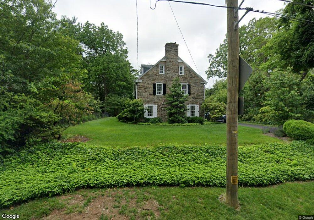
415 E Roumfort Rd Philadelphia, PA 19119
East Mount Airy NeighborhoodEstimated Value: $716,007 - $909,000
--
Bed
--
Bath
3,150
Sq Ft
$254/Sq Ft
Est. Value
About This Home
This home is located at 415 E Roumfort Rd, Philadelphia, PA 19119 and is currently estimated at $799,752, approximately $253 per square foot. 415 E Roumfort Rd is a home located in Philadelphia County with nearby schools including Henry H. Houston School, Roxborough High School, and Renaissance Charter School.
Ownership History
Date
Name
Owned For
Owner Type
Purchase Details
Closed on
Jan 13, 2014
Sold by
Randall Maria Christina and Estate Of Margery G Randall
Bought by
Randall Maria Christina
Current Estimated Value
Purchase Details
Closed on
Mar 31, 1967
Bought by
Stroebele Edward C and And Katherine
Create a Home Valuation Report for This Property
The Home Valuation Report is an in-depth analysis detailing your home's value as well as a comparison with similar homes in the area
Home Values in the Area
Average Home Value in this Area
Purchase History
| Date | Buyer | Sale Price | Title Company |
|---|---|---|---|
| Randall Maria Christina | -- | None Available | |
| Stroebele Edward C | $35,000 | -- |
Source: Public Records
Tax History Compared to Growth
Tax History
| Year | Tax Paid | Tax Assessment Tax Assessment Total Assessment is a certain percentage of the fair market value that is determined by local assessors to be the total taxable value of land and additions on the property. | Land | Improvement |
|---|---|---|---|---|
| 2025 | $8,315 | $705,500 | $141,100 | $564,400 |
| 2024 | $8,315 | $705,500 | $141,100 | $564,400 |
| 2023 | $8,315 | $594,000 | $118,800 | $475,200 |
| 2022 | $5,295 | $549,000 | $118,800 | $430,200 |
| 2021 | $5,925 | $0 | $0 | $0 |
| 2020 | $5,925 | $0 | $0 | $0 |
| 2019 | $6,184 | $0 | $0 | $0 |
| 2018 | $4,797 | $0 | $0 | $0 |
| 2017 | $4,797 | $0 | $0 | $0 |
| 2016 | $4,797 | $0 | $0 | $0 |
| 2015 | $4,592 | $0 | $0 | $0 |
| 2014 | -- | $342,700 | $193,314 | $149,386 |
| 2012 | -- | $49,888 | $12,221 | $37,667 |
Source: Public Records
Map
Nearby Homes
- 7410 Crittenden St
- 302 Crest Park Rd
- 7601 Crittenden St Unit A4
- 523 E Allens Ln
- 407 E Allens Ln
- 7415 Sprague St
- 338 E Mount Airy Ave
- 7510 Boyer St
- 7804 Louise Ln
- 7201 Devon St
- 7604 East Ln
- 940 E Allens Ln
- 246 E Springfield Ave
- 7600 Germantown Ave
- 234 E Benezet St
- 8309 Lynnewood Rd
- 501 E Sedgwick St
- 145 E Durham St
- 7809 Roanoke St
- 1000 E Durham St
- 401 E Roumfort Rd
- 374 E Roumfort Rd
- 425 E Roumfort Rd Unit A
- 376 E Roumfort Rd
- 419 E Roumfort Rd
- 380 E Roumfort Rd
- 366 E Roumfort Rd
- 353 E Roumfort Rd
- 7414 Crittenden St
- 352 E Roumfort Rd
- 7412 Crittenden St
- 501 E Roumfort Rd
- 350 E Roumfort Rd
- 349 E Roumfort Rd
- 331 Crest Park Rd
- 500 E Roumfort Rd
- 500 E Murdoch Rd
- 7520 Crittenden St
- 503 E Roumfort Rd
- 400 Woodbrook Ln