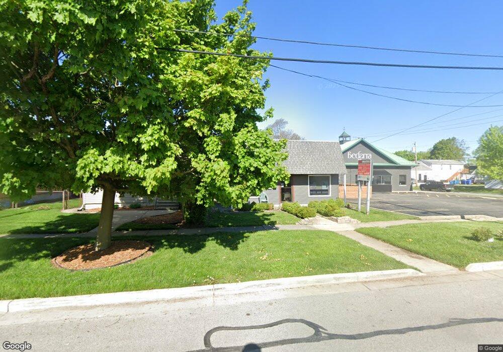
415 N Grant St Crown Point, IN 46307
Estimated Value: $190,090
--
Bed
--
Bath
2,296
Sq Ft
$83/Sq Ft
Est. Value
About This Home
This home is located at 415 N Grant St, Crown Point, IN 46307 and is currently priced at $190,090, approximately $82 per square foot. 415 N Grant St is a home located in Lake County with nearby schools including Timothy Ball Elementary School, Robert Taft Middle School, and Crown Point High School.
Ownership History
Date
Name
Owned For
Owner Type
Purchase Details
Closed on
Mar 27, 2014
Sold by
Bonander David A and Bonander Martha A
Bought by
Black Diamond Freehold Llc
Current Estimated Value
Home Financials for this Owner
Home Financials are based on the most recent Mortgage that was taken out on this home.
Original Mortgage
$92,000
Outstanding Balance
$70,820
Interest Rate
4.29%
Mortgage Type
Commercial
Estimated Equity
$119,612
Purchase Details
Closed on
Aug 28, 2006
Sold by
Farley Evelyn M
Bought by
Bonander David A and Bonander Martha A
Home Financials for this Owner
Home Financials are based on the most recent Mortgage that was taken out on this home.
Original Mortgage
$98,000
Interest Rate
6.59%
Mortgage Type
Commercial
Create a Home Valuation Report for This Property
The Home Valuation Report is an in-depth analysis detailing your home's value as well as a comparison with similar homes in the area
Home Values in the Area
Average Home Value in this Area
Purchase History
| Date | Buyer | Sale Price | Title Company |
|---|---|---|---|
| Black Diamond Freehold Llc | -- | Chicago Title Insurance Co | |
| Bonander David A | -- | The Talon Group |
Source: Public Records
Mortgage History
| Date | Status | Borrower | Loan Amount |
|---|---|---|---|
| Open | Black Diamond Freehold Llc | $92,000 | |
| Previous Owner | Bonander David A | $98,000 |
Source: Public Records
Tax History Compared to Growth
Tax History
| Year | Tax Paid | Tax Assessment Tax Assessment Total Assessment is a certain percentage of the fair market value that is determined by local assessors to be the total taxable value of land and additions on the property. | Land | Improvement |
|---|---|---|---|---|
| 2024 | $2,693 | $100,100 | $15,700 | $84,400 |
| 2023 | $2,342 | $98,000 | $15,700 | $82,300 |
| 2022 | $2,342 | $98,000 | $15,700 | $82,300 |
| 2021 | $2,490 | $108,000 | $15,700 | $92,300 |
| 2020 | $2,624 | $109,400 | $15,700 | $93,700 |
| 2019 | $2,702 | $104,200 | $15,700 | $88,500 |
| 2018 | $3,149 | $116,500 | $15,700 | $100,800 |
| 2017 | $3,064 | $111,800 | $15,700 | $96,100 |
| 2016 | $2,672 | $94,900 | $15,700 | $79,200 |
| 2014 | $1,871 | $75,300 | $13,100 | $62,200 |
| 2013 | $1,954 | $77,700 | $15,700 | $62,000 |
Source: Public Records
Map
Nearby Homes
- 138 N Grant St
- 308 Foote St
- 229 N Court St
- 380 N Indiana Ave
- 511 N West St
- 310 N Indiana Ave
- 221 N West St
- 808 N West St
- 407 Prairie St
- 801 E Clark St
- 301 Hoffman St
- 865 Summit Park Ct N
- 0 W Joliet St
- 369 Summit Park Ct W
- 148 S Union St
- 531 E Joliet St
- 1101 Sycamore St
- 310 Pratt St
- 621 Pratt St
- 512 W Joliet St
- 415 N Grant St
- 411 N Grant St
- 419 N Grant St
- 409 N Grant St
- 405 N Grant St
- 309 E Goldsboro St
- 401 N Grant St
- 308 E Porter St
- 482 N Grant St
- 501 N Grant St
- 307 E Goldsborough St
- 307 E Goldsboro St
- 302 E Porter St
- 306 E Goldsborough St
- 404 N Grant St
- 216 E Goldsboro St
- 505 N Grant St
- 402 N Grant St
- 302 E Goldsboro St
- 404 E Goldsboro St