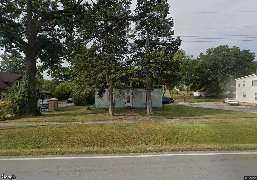
415 N Main St Huntsville, MO 65259
Estimated Value: $105,000 - $289,000
2
Beds
1
Bath
1,800
Sq Ft
$96/Sq Ft
Est. Value
About This Home
This home is located at 415 N Main St, Huntsville, MO 65259 and is currently estimated at $173,679, approximately $96 per square foot. 415 N Main St is a home located in Randolph County with nearby schools including Westran Elementary School, Westran Middle School, and Westran High School.
Ownership History
Date
Name
Owned For
Owner Type
Purchase Details
Closed on
May 9, 2024
Sold by
Johnson Adam and Johnson Rena
Bought by
Franke Ryan
Current Estimated Value
Home Financials for this Owner
Home Financials are based on the most recent Mortgage that was taken out on this home.
Original Mortgage
$134,290
Outstanding Balance
$132,375
Interest Rate
6.79%
Mortgage Type
VA
Estimated Equity
$41,304
Purchase Details
Closed on
Sep 1, 2023
Sold by
Boggs Mike and Boggs Carla
Bought by
Johnson Adam and Johnson Rena
Purchase Details
Closed on
Jul 28, 2020
Sold by
Reed Todd N
Bought by
Boggs Mike and Heckenmueller Carla
Create a Home Valuation Report for This Property
The Home Valuation Report is an in-depth analysis detailing your home's value as well as a comparison with similar homes in the area
Home Values in the Area
Average Home Value in this Area
Purchase History
| Date | Buyer | Sale Price | Title Company |
|---|---|---|---|
| Franke Ryan | -- | None Listed On Document | |
| Johnson Adam | -- | None Listed On Document | |
| Boggs Mike | -- | None Available |
Source: Public Records
Mortgage History
| Date | Status | Borrower | Loan Amount |
|---|---|---|---|
| Open | Franke Ryan | $134,290 |
Source: Public Records
Tax History Compared to Growth
Tax History
| Year | Tax Paid | Tax Assessment Tax Assessment Total Assessment is a certain percentage of the fair market value that is determined by local assessors to be the total taxable value of land and additions on the property. | Land | Improvement |
|---|---|---|---|---|
| 2025 | $712 | $17,100 | $1,000 | $16,100 |
| 2024 | $712 | $11,510 | $874 | $10,636 |
| 2023 | $728 | $11,510 | $874 | $10,636 |
| 2022 | $681 | $11,000 | $874 | $10,126 |
| 2021 | $694 | $11,000 | $874 | $10,126 |
| 2020 | $694 | $11,220 | $874 | $10,346 |
| 2019 | $679 | $11,220 | $874 | $10,346 |
| 2018 | $678 | $11,220 | $874 | $10,346 |
| 2017 | $678 | $11,220 | $0 | $0 |
| 2016 | $663 | $10,990 | $0 | $0 |
| 2014 | -- | $10,620 | $0 | $0 |
| 2013 | -- | $10,620 | $0 | $0 |
| 2012 | -- | $10,620 | $0 | $0 |
Source: Public Records
Map
Nearby Homes
- 105 W Depot St
- Tbd Cr A92
- 101 W Library St
- 106 W Library St
- 503 W Elm St
- 1457 County Road 1225
- 817 Heether St
- 728 Randolph St
- 1457 Cr1225
- TBD Cr A92
- 1884 County Road 1225
- 00 County Road 1145
- 4520 County Road 1245
- 2876 Highway Jj
- 1057 Private Road 1237
- 1185 County Road 2230
- 1313 County Road 2230
- 0 County Road 1265
- 0 Hwy Z Hwy Unit HMS2549151
- 360 Route Dd