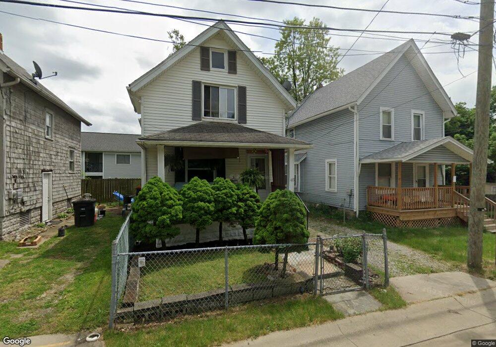
415 Raasch Ave Akron, OH 44307
Sherbondy Hill NeighborhoodEstimated Value: $58,836 - $95,000
2
Beds
1
Bath
702
Sq Ft
$113/Sq Ft
Est. Value
About This Home
This home is located at 415 Raasch Ave, Akron, OH 44307 and is currently estimated at $79,209, approximately $112 per square foot. 415 Raasch Ave is a home located in Summit County with nearby schools including Towpath Trail High School, St. Vincent Elementary School, and St Vincent-St Mary High School.
Ownership History
Date
Name
Owned For
Owner Type
Purchase Details
Closed on
Sep 28, 2021
Sold by
Fields Thomas R
Bought by
Gould Ericka and Fields Aamir N
Current Estimated Value
Purchase Details
Closed on
Oct 7, 2011
Sold by
Jones Arinthia L
Bought by
Fields Thomas R
Purchase Details
Closed on
Oct 3, 2011
Sold by
English Sylia R
Bought by
Fields Thomas R
Purchase Details
Closed on
Dec 21, 2009
Sold by
Marshall Catherine K and Jones Kathleen
Bought by
Jones Arinthia L and English Sylvia R
Create a Home Valuation Report for This Property
The Home Valuation Report is an in-depth analysis detailing your home's value as well as a comparison with similar homes in the area
Home Values in the Area
Average Home Value in this Area
Purchase History
| Date | Buyer | Sale Price | Title Company |
|---|---|---|---|
| Gould Ericka | -- | None Available | |
| Fields Thomas R | $7,225 | Attorney | |
| Fields Thomas R | $7,225 | None Available | |
| Jones Arinthia L | -- | None Available |
Source: Public Records
Tax History Compared to Growth
Tax History
| Year | Tax Paid | Tax Assessment Tax Assessment Total Assessment is a certain percentage of the fair market value that is determined by local assessors to be the total taxable value of land and additions on the property. | Land | Improvement |
|---|---|---|---|---|
| 2025 | $490 | $8,201 | $2,174 | $6,027 |
| 2024 | $490 | $8,201 | $2,174 | $6,027 |
| 2023 | $490 | $8,201 | $2,174 | $6,027 |
| 2022 | $382 | $4,824 | $1,278 | $3,546 |
| 2021 | $382 | $4,824 | $1,278 | $3,546 |
| 2020 | $377 | $4,830 | $1,280 | $3,550 |
| 2019 | $406 | $4,790 | $1,960 | $2,830 |
| 2018 | $401 | $4,790 | $1,960 | $2,830 |
| 2017 | $402 | $4,790 | $1,960 | $2,830 |
| 2016 | $412 | $4,860 | $1,960 | $2,900 |
| 2015 | $402 | $4,860 | $1,960 | $2,900 |
| 2014 | $397 | $4,860 | $1,960 | $2,900 |
| 2013 | $366 | $5,060 | $1,960 | $3,100 |
Source: Public Records
Map
Nearby Homes
- 483 Bishop St
- 577 Rhodes Ave
- 478 Copley Rd
- 243 S Balch St
- 238 Gale St
- 413 Crestwood Ave
- 144 Hall St
- 222 Rhodes Ave
- 453 Briarwood Dr
- 568 Auld Farm Cir
- 644 Diagonal Rd
- 136 Gale St
- 524 Auld Farm Cir
- 244 Crosby St
- 91 Westwood Ave
- 525 Crosby St
- 434 Hillwood Dr
- 593 Hoye Ave
- 414 Beechwood Dr
- 817 Raymond St