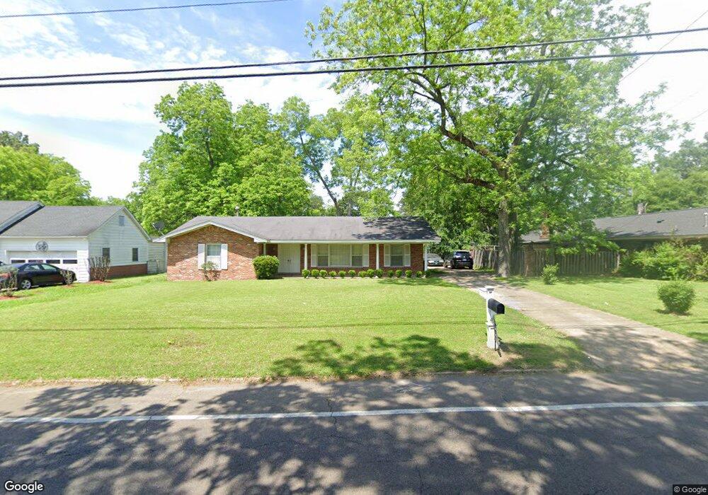
415 S Eshman Ave West Point, MS 39773
Estimated Value: $146,607 - $211,000
3
Beds
--
Bath
1,900
Sq Ft
$93/Sq Ft
Est. Value
About This Home
This home is located at 415 S Eshman Ave, West Point, MS 39773 and is currently estimated at $176,652, approximately $92 per square foot. 415 S Eshman Ave is a home located in Clay County with nearby schools including East Side Elementary School, West Clay Elementary School, and Church Hill Elementary School.
Ownership History
Date
Name
Owned For
Owner Type
Purchase Details
Closed on
Oct 18, 2018
Sold by
Powers Eric
Bought by
Hodges Vakesha
Current Estimated Value
Home Financials for this Owner
Home Financials are based on the most recent Mortgage that was taken out on this home.
Original Mortgage
$101,753
Outstanding Balance
$88,923
Interest Rate
4.6%
Mortgage Type
Purchase Money Mortgage
Estimated Equity
$87,729
Purchase Details
Closed on
Feb 14, 2008
Sold by
Walker Mary Lou and Southern Beatrice
Bought by
Powers Eric
Create a Home Valuation Report for This Property
The Home Valuation Report is an in-depth analysis detailing your home's value as well as a comparison with similar homes in the area
Home Values in the Area
Average Home Value in this Area
Purchase History
| Date | Buyer | Sale Price | Title Company |
|---|---|---|---|
| Hodges Vakesha | -- | -- | |
| Powers Eric | -- | -- |
Source: Public Records
Mortgage History
| Date | Status | Borrower | Loan Amount |
|---|---|---|---|
| Open | Hodges Vakesha | $101,753 |
Source: Public Records
Tax History Compared to Growth
Tax History
| Year | Tax Paid | Tax Assessment Tax Assessment Total Assessment is a certain percentage of the fair market value that is determined by local assessors to be the total taxable value of land and additions on the property. | Land | Improvement |
|---|---|---|---|---|
| 2024 | $402 | $10,180 | $1,033 | $9,147 |
| 2023 | $977 | $8,531 | $1,033 | $7,498 |
| 2022 | $315 | $8,531 | $1,033 | $7,498 |
| 2021 | $314 | $8,531 | $1,033 | $7,498 |
| 2020 | $314 | $8,531 | $1,033 | $7,498 |
| 2019 | $287 | $8,463 | $1,033 | $7,430 |
| 2018 | $629 | $12,693 | $1,549 | $11,144 |
| 2017 | $628 | $12,693 | $1,549 | $11,144 |
| 2016 | $605 | $12,693 | $1,549 | $11,144 |
| 2015 | $227 | $7,654 | $1,033 | $6,621 |
| 2014 | $30 | $7,654 | $1,033 | $6,621 |
| 2013 | $30 | $7,654 | $1,033 | $6,621 |
Source: Public Records
Map
Nearby Homes
- 472 S Eshman Ave
- 278 Converse Dr
- 1180 E Broad St
- 44 Torbert Dr
- 329 Converse Dr
- 27445 E Main St
- 551 E Westbrook St
- 1153 E Broad St
- 1046 E Brame Ave
- 1124 N Eshman Ave
- 1104 E Broad St
- 485 E Westbrook St
- 26596 E Main St
- 27045 E Main St
- 480 E Westbrook St
- 479 E Westbrook St
- 26852 E Main St
- 15 David St
- 238 Calhoun St
- 26788 E Main St
- 729 S Eshman Ave
- 1152 E Westbrook St
- 429 S Eshman Ave
- 437 S Eshman Ave
- 402 S Eshman Ave
- 868 E Westbrook St
- 404 S Eshman Ave
- 1126 E Westbrook St
- 334 S Eshman Ave
- 1141 E Westbrook St
- 790 S Eshman Ave
- 685 S Eshman Ave
- 1138 E Westbrook St
- 330 S Eshman Ave
- 1123 E Westbrook St
- 1118 E Westbrook St
- 1117 E Westbrook St
- 326 S Eshman Ave
- 424 Mccord St
- 1107 E Westbrook St