415 Sampsons Mill Rd Cotuit, MA 02635
Cotuit NeighborhoodEstimated Value: $763,567 - $926,000
4
Beds
2
Baths
1,801
Sq Ft
$475/Sq Ft
Est. Value
About This Home
This home is located at 415 Sampsons Mill Rd, Cotuit, MA 02635 and is currently estimated at $856,142, approximately $475 per square foot. 415 Sampsons Mill Rd is a home located in Barnstable County with nearby schools including West Villages Elementary School, Barnstable United Elementary School, and Barnstable Intermediate School.
Ownership History
Date
Name
Owned For
Owner Type
Purchase Details
Closed on
Apr 8, 1996
Sold by
Clark Paul L and Clark Diane L
Bought by
Ryan David J
Current Estimated Value
Home Financials for this Owner
Home Financials are based on the most recent Mortgage that was taken out on this home.
Original Mortgage
$121,500
Outstanding Balance
$5,697
Interest Rate
7.31%
Mortgage Type
Purchase Money Mortgage
Estimated Equity
$850,445
Purchase Details
Closed on
Jun 1, 1990
Sold by
Obrien Walter J
Bought by
Clark Paul L
Home Financials for this Owner
Home Financials are based on the most recent Mortgage that was taken out on this home.
Original Mortgage
$112,000
Interest Rate
10.25%
Mortgage Type
Purchase Money Mortgage
Create a Home Valuation Report for This Property
The Home Valuation Report is an in-depth analysis detailing your home's value as well as a comparison with similar homes in the area
Home Values in the Area
Average Home Value in this Area
Purchase History
| Date | Buyer | Sale Price | Title Company |
|---|---|---|---|
| Ryan David J | $135,000 | -- | |
| Clark Paul L | $140,000 | -- |
Source: Public Records
Mortgage History
| Date | Status | Borrower | Loan Amount |
|---|---|---|---|
| Open | Ryan David J | $121,500 | |
| Previous Owner | Clark Paul L | $112,000 |
Source: Public Records
Tax History
| Year | Tax Paid | Tax Assessment Tax Assessment Total Assessment is a certain percentage of the fair market value that is determined by local assessors to be the total taxable value of land and additions on the property. | Land | Improvement |
|---|---|---|---|---|
| 2025 | $5,521 | $661,200 | $166,700 | $494,500 |
| 2024 | $4,968 | $630,400 | $166,700 | $463,700 |
| 2023 | $4,711 | $562,900 | $151,600 | $411,300 |
| 2022 | $4,801 | $464,300 | $112,300 | $352,000 |
| 2021 | $4,622 | $418,600 | $112,300 | $306,300 |
| 2020 | $4,777 | $407,900 | $112,300 | $295,600 |
| 2019 | $4,472 | $376,400 | $112,300 | $264,100 |
| 2018 | $4,162 | $350,300 | $118,200 | $232,100 |
| 2017 | $4,008 | $339,700 | $118,200 | $221,500 |
| 2016 | $3,881 | $337,200 | $115,700 | $221,500 |
| 2015 | $3,789 | $328,900 | $117,100 | $211,800 |
Source: Public Records
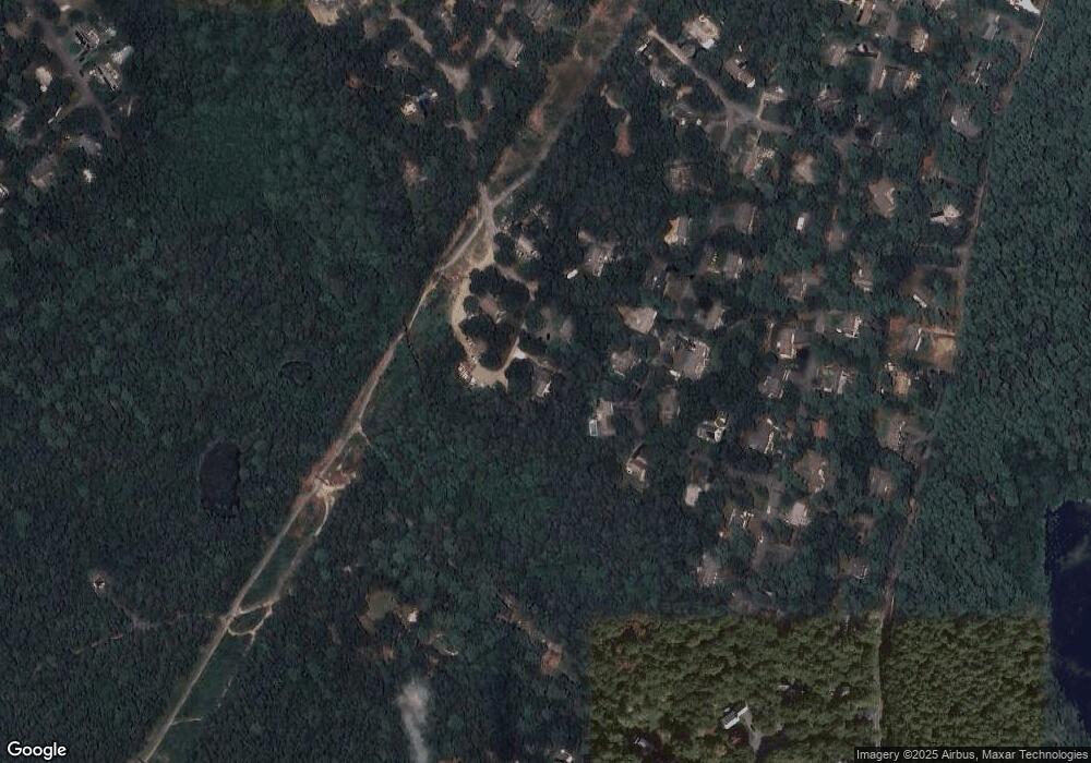
Map
Nearby Homes
- 602 Putnam Ave
- 15 Geraldine Rd
- 1597 Santuit-Newtown Rd
- 1820 Santuit Newtown Rd
- 54 Frazier Way
- 1456 Santuit-Newtown Rd
- 552 Main St
- 75 Bob White Run
- 1415 Old Post Rd
- 564 Cotuit Bay Dr
- 564 Cotuit Bay Dr
- 165 Baxter Neck Rd
- 170 Forest Hills Rd
- 240 Baxters Neck Rd
- 135 Putnam Avenue (Land)
- 835 Old Post Rd
- 10 Abbey Gate Rd
- 78 Brittany Dr
- 226 Dunrobin Rd
- 7 Oxford Dr
- 415 Sampsons Mill Rd
- 0 Sampsons Mill Rd
- 429 Sampsons Mill Rd
- 87 Roosevelt Rd
- 75 Roosevelt Rd
- 13 Thankful Ln
- 63 Roosevelt Rd
- 455 Sampsons Mill Rd
- 80 Roosevelt Rd
- 14 Thankful Ln
- 49 Roosevelt Rd
- 66 Roosevelt Rd
- 108 Roosevelt Rd
- 54 Roosevelt Rd
- 109 Roosevelt Rd
- 33 Roosevelt Rd
- 32 Thankful Ln
- 40 Roosevelt Rd
- 189 Eisenhower Dr
- 203 Eisenhower Dr
Your Personal Tour Guide
Ask me questions while you tour the home.