415 Stark Rd Center Conway, NH 03813
Estimated Value: $580,000 - $675,947
3
Beds
2
Baths
2,450
Sq Ft
$251/Sq Ft
Est. Value
About This Home
This home is located at 415 Stark Rd, Center Conway, NH 03813 and is currently estimated at $615,316, approximately $251 per square foot. 415 Stark Rd is a home with nearby schools including A. Crosby Kennett Middle School, Kennett High School, and Robert Frost Charter School.
Ownership History
Date
Name
Owned For
Owner Type
Purchase Details
Closed on
Oct 10, 2019
Sold by
Whitaker Sheri A
Bought by
Whitaker Paul D
Current Estimated Value
Purchase Details
Closed on
Apr 14, 2006
Sold by
Whitaker Harold R
Bought by
Whitaker Paul D and Whitaker Sheri L
Create a Home Valuation Report for This Property
The Home Valuation Report is an in-depth analysis detailing your home's value as well as a comparison with similar homes in the area
Home Values in the Area
Average Home Value in this Area
Purchase History
| Date | Buyer | Sale Price | Title Company |
|---|---|---|---|
| Whitaker Paul D | -- | -- | |
| Whitaker Paul D | $25,000 | -- |
Source: Public Records
Mortgage History
| Date | Status | Borrower | Loan Amount |
|---|---|---|---|
| Previous Owner | Whitaker Paul D | $120,985 |
Source: Public Records
Tax History Compared to Growth
Tax History
| Year | Tax Paid | Tax Assessment Tax Assessment Total Assessment is a certain percentage of the fair market value that is determined by local assessors to be the total taxable value of land and additions on the property. | Land | Improvement |
|---|---|---|---|---|
| 2024 | $7,313 | $604,400 | $55,800 | $548,600 |
| 2023 | $6,594 | $604,400 | $55,800 | $548,600 |
| 2022 | $5,604 | $310,300 | $49,800 | $260,500 |
| 2021 | $5,070 | $310,300 | $49,800 | $260,500 |
| 2020 | $5,381 | $310,300 | $49,800 | $260,500 |
| 2019 | $5,374 | $310,300 | $49,800 | $260,500 |
| 2018 | $5,410 | $259,200 | $43,300 | $215,900 |
| 2017 | $5,179 | $259,200 | $43,300 | $215,900 |
| 2016 | $5,005 | $259,200 | $43,300 | $215,900 |
| 2015 | $4,948 | $259,200 | $43,300 | $215,900 |
| 2014 | $4,889 | $259,200 | $43,300 | $215,900 |
| 2013 | $4,724 | $264,500 | $43,300 | $221,200 |
Source: Public Records
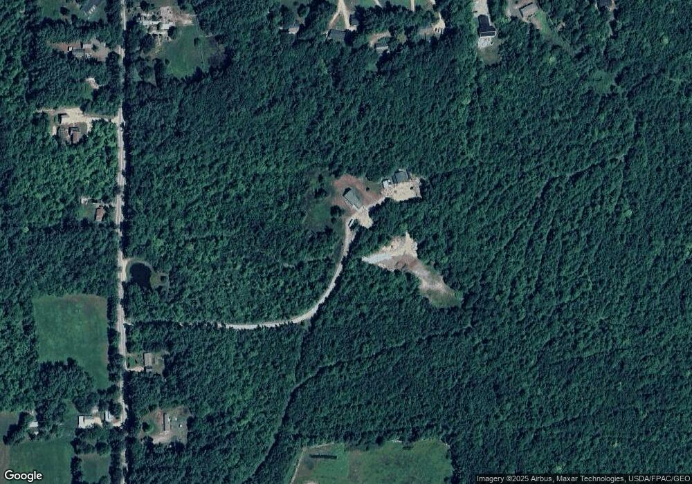
Map
Nearby Homes
- 66 Woodland Grove
- 48 Maple Manor Rd
- 18 Woodland Grove Rd
- 101 Odell Hill Rd
- 108 Maple Manor Rd
- 00 Stritch Rd Unit 58
- 258 Odell Hill Rd
- 19 Saco St Unit 92
- 19 Saco St Unit 59
- 19 Saco St Unit 58
- 196 E Main St Unit 5 (old 103)
- 00 Tamarack Overlook
- 592 Eaton Rd
- 357 Lamplighters Park
- 237 Eaton Rd
- 33 Longbow Dr
- 42 Buckingham Dr
- 58 Wilder St
- 1111 Stark Rd
- 41 Castle Dr
- 103 Sargent Rd Unit 3
- 103 Sargent Rd Unit 4
- 87 Sargent Rd Unit 2
- 87 Sargent Rd Unit 1
- 87 Sargent Rd Unit A
- 87 Sargent Rd
- 87 Sargent Rd Unit 1 & 2
- 69 Sargent Rd
- 113 Sargent Rd Unit 6
- 113 Sargent Rd Unit 5
- 113 Sargent Rd Unit 6 & 5
- 145 Sargent Rd
- 0 Sargent Rd
- 12 Nickleback
- 382 Stark Rd
- 155 Sargent Rd
- 72 Sargent Rd
- 90 Sargent Rd
- 309 Stark Rd
- 60 Sargent Rd