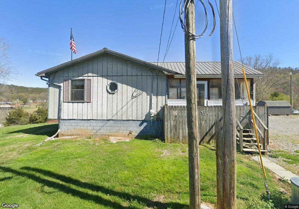
415 Stout St Tellico Plains, TN 37385
Estimated Value: $161,000 - $265,855
3
Beds
1
Bath
1,608
Sq Ft
$126/Sq Ft
Est. Value
About This Home
This home is located at 415 Stout St, Tellico Plains, TN 37385 and is currently estimated at $202,964, approximately $126 per square foot. 415 Stout St is a home located in Monroe County with nearby schools including Tellico Plains Elementary School, Tellico Plains Junior High School, and Tellico Plains High School.
Ownership History
Date
Name
Owned For
Owner Type
Purchase Details
Closed on
May 15, 2024
Sold by
Hamilton Tracy W and Hamilton Audrey
Bought by
Ellis Andrew Warren and Ellis Synthia
Current Estimated Value
Home Financials for this Owner
Home Financials are based on the most recent Mortgage that was taken out on this home.
Original Mortgage
$180,775
Outstanding Balance
$176,227
Interest Rate
4%
Mortgage Type
VA
Estimated Equity
$26,737
Purchase Details
Closed on
May 9, 1985
Bought by
Hamilton Tracy W and Hamilton Audrey
Purchase Details
Closed on
Oct 5, 1965
Create a Home Valuation Report for This Property
The Home Valuation Report is an in-depth analysis detailing your home's value as well as a comparison with similar homes in the area
Home Values in the Area
Average Home Value in this Area
Purchase History
| Date | Buyer | Sale Price | Title Company |
|---|---|---|---|
| Ellis Andrew Warren | $175,000 | Skyway Title | |
| Hamilton Tracy W | -- | -- | |
| -- | -- | -- |
Source: Public Records
Mortgage History
| Date | Status | Borrower | Loan Amount |
|---|---|---|---|
| Open | Ellis Andrew Warren | $180,775 |
Source: Public Records
Tax History Compared to Growth
Tax History
| Year | Tax Paid | Tax Assessment Tax Assessment Total Assessment is a certain percentage of the fair market value that is determined by local assessors to be the total taxable value of land and additions on the property. | Land | Improvement |
|---|---|---|---|---|
| 2025 | -- | $36,825 | $0 | $0 |
| 2024 | $605 | $36,825 | $4,425 | $32,400 |
| 2023 | $605 | $32,975 | $4,425 | $28,550 |
| 2022 | $528 | $19,700 | $2,600 | $17,100 |
| 2021 | $528 | $19,700 | $2,600 | $17,100 |
| 2020 | $528 | $19,700 | $2,600 | $17,100 |
| 2019 | $477 | $19,700 | $2,600 | $17,100 |
| 2018 | $477 | $19,700 | $2,600 | $17,100 |
| 2017 | $483 | $18,875 | $1,825 | $17,050 |
| 2016 | $483 | $18,875 | $1,825 | $17,050 |
| 2015 | $484 | $18,875 | $1,825 | $17,050 |
| 2014 | $483 | $18,859 | $0 | $0 |
Source: Public Records
Map
Nearby Homes
- 410 Scott St
- 217 Loomis St
- 207 Loomis St
- 0 Highway 68 Unit 24267548
- 0 Highway 68 Unit 1316540
- 0 Highway 68 Unit 1316530
- 111 Bryan Hill Dr
- 150 4th St
- 903 Veterans Memorial Dr
- 135 H & H Rd
- 115 Willowbrook Dr
- 390 Cherohala Skyway
- 0 Unicoi Church Rd
- 104 Hereford St
- 2 Cherohala Skyway
- 0 Carringer Cir
- 125 Indian Ridge Dr
- 6915 Tennessee 360
- 0 Lake Heights Rd Unit 1310060
- 57.09 acs Rafter Rd