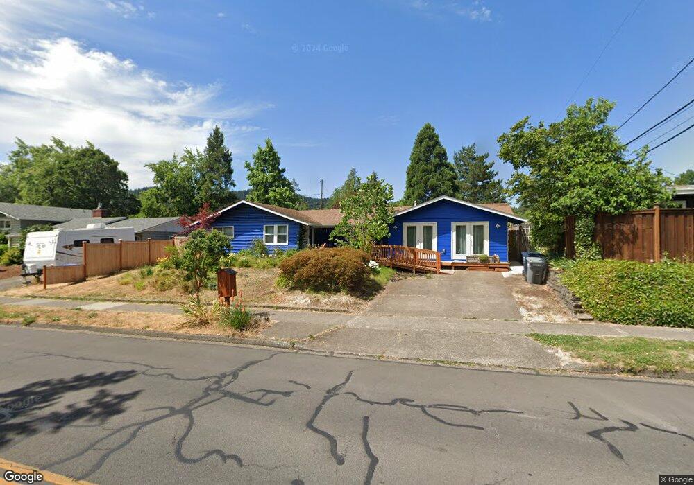
4150 Donald St Eugene, OR 97405
Southeast Eugene NeighborhoodEstimated Value: $513,000 - $585,000
3
Beds
2
Baths
1,330
Sq Ft
$413/Sq Ft
Est. Value
About This Home
This home is located at 4150 Donald St, Eugene, OR 97405 and is currently estimated at $549,942, approximately $413 per square foot. 4150 Donald St is a home located in Lane County with nearby schools including Edgewood Community Elementary School, Spencer Butte Middle School, and South Eugene High School.
Ownership History
Date
Name
Owned For
Owner Type
Purchase Details
Closed on
Nov 21, 2011
Sold by
Mccrea Robert Jon and Damewood Xia Joy
Bought by
Hatfield Leonard Lawson and Hatfield Darleen Kay
Current Estimated Value
Home Financials for this Owner
Home Financials are based on the most recent Mortgage that was taken out on this home.
Original Mortgage
$212,473
Outstanding Balance
$144,845
Interest Rate
4.09%
Mortgage Type
Purchase Money Mortgage
Estimated Equity
$405,097
Create a Home Valuation Report for This Property
The Home Valuation Report is an in-depth analysis detailing your home's value as well as a comparison with similar homes in the area
Home Values in the Area
Average Home Value in this Area
Purchase History
| Date | Buyer | Sale Price | Title Company |
|---|---|---|---|
| Hatfield Leonard Lawson | $218,000 | Cascade Title Company |
Source: Public Records
Mortgage History
| Date | Status | Borrower | Loan Amount |
|---|---|---|---|
| Open | Hatfield Leonard Lawson | $212,473 |
Source: Public Records
Tax History
| Year | Tax Paid | Tax Assessment Tax Assessment Total Assessment is a certain percentage of the fair market value that is determined by local assessors to be the total taxable value of land and additions on the property. | Land | Improvement |
|---|---|---|---|---|
| 2025 | $5,049 | $259,146 | -- | -- |
| 2024 | $4,986 | $251,599 | -- | -- |
| 2023 | $4,986 | $244,271 | $0 | $0 |
| 2022 | $4,223 | $214,376 | $0 | $0 |
| 2021 | $3,765 | $197,569 | $0 | $0 |
| 2020 | $3,778 | $191,815 | $0 | $0 |
| 2019 | $3,649 | $186,229 | $0 | $0 |
| 2018 | $3,435 | $175,539 | $0 | $0 |
| 2017 | $3,281 | $175,539 | $0 | $0 |
| 2016 | $3,199 | $170,426 | $0 | $0 |
| 2015 | $3,108 | $165,462 | $0 | $0 |
| 2014 | $3,042 | $160,643 | $0 | $0 |
Source: Public Records
Map
Nearby Homes
- 4023 Donald St Unit K
- 170 E 40th Ave
- 395 E 46th Ave
- 434 E 39th Ave
- 4425 Hilyard St
- 275 E 39th Ave
- 0 E 39th Ave
- 4734 Brookwood St
- 17 Westbrook Way
- 21 Westbrook Way
- 36 Westbrook Way
- 4845 Brookwood St
- 4320 Fox Hollow Rd
- 4364 Fox Hollow Rd
- 910 E 43rd Ave
- 4427 Fox Hollow Rd Unit 7
- 4429 Fox Hollow Rd Unit 3
- 278 Rockridge Ct
- 4680 W Hillside Dr
- 555 Stafford Ct
- 4190 Donald St
- 390 E 41st Ave
- 370 E 41st Ave
- 4255 Southridge Ct
- 4235 Southridge Ct
- 4200 Donald St
- 340 E 41st Ave
- 4155 Donald St
- 4115 Donald St
- 4195 Donald St
- 4265 Southridge Ct
- 310 E 41st Ave
- 4250 Donald St
- 4205 Donald St
- 4215 Southridge Ct
- 420 E 41st Ave
- 395 E 41st Ave
- 375 E 41st Ave
- 4275 Mill St
- 4255 Donald St
Your Personal Tour Guide
Ask me questions while you tour the home.