Estimated Value: $161,000 - $178,000
Studio
--
Bath
1,056
Sq Ft
$163/Sq Ft
Est. Value
About This Home
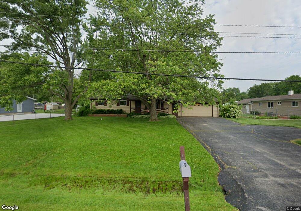
This home is located at 4153 Swallow Dr, Flint, MI 48506 and is currently estimated at $171,924, approximately $162 per square foot. 4153 Swallow Dr is a home located in Genesee County with nearby schools including Weston Elementary School, Leota Fiedler Elementary School, and Kate Dowdall Elementary School.
Ownership History
Date
Name
Owned For
Owner Type
Purchase Details
Closed on
May 19, 2025
Sold by
Church Randall Lee
Bought by
Barber Austin Michael and Barber Ashley Renee
Current Estimated Value
Home Financials for this Owner
Home Financials are based on the most recent Mortgage that was taken out on this home.
Original Mortgage
$159,900
Outstanding Balance
$159,333
Interest Rate
6.64%
Mortgage Type
New Conventional
Estimated Equity
$12,591
Purchase Details
Closed on
Aug 5, 2014
Sold by
The Church Family Trust
Bought by
Church Randall Lee
Create a Home Valuation Report for This Property
The Home Valuation Report is an in-depth analysis detailing your home's value as well as a comparison with similar homes in the area
Home Values in the Area
Average Home Value in this Area
Purchase History
| Date | Buyer | Sale Price | Title Company |
|---|---|---|---|
| Barber Austin Michael | $159,900 | None Listed On Document | |
| Church Randall Lee | -- | None Available |
Source: Public Records
Mortgage History
| Date | Status | Borrower | Loan Amount |
|---|---|---|---|
| Open | Barber Austin Michael | $159,900 |
Source: Public Records
Tax History
| Year | Tax Paid | Tax Assessment Tax Assessment Total Assessment is a certain percentage of the fair market value that is determined by local assessors to be the total taxable value of land and additions on the property. | Land | Improvement |
|---|---|---|---|---|
| 2025 | $1,612 | $78,900 | $0 | $0 |
| 2024 | $419 | $72,700 | $0 | $0 |
| 2023 | $399 | $65,000 | $0 | $0 |
| 2022 | $1,323 | $61,000 | $0 | $0 |
| 2021 | $1,312 | $55,300 | $0 | $0 |
| 2020 | $365 | $50,800 | $0 | $0 |
| 2019 | $360 | $45,000 | $0 | $0 |
| 2018 | $1,242 | $42,100 | $0 | $0 |
| 2017 | $1,200 | $40,600 | $0 | $0 |
| 2016 | $1,195 | $39,100 | $0 | $0 |
| 2015 | $994 | $37,000 | $0 | $0 |
| 2014 | $332 | $33,000 | $0 | $0 |
| 2012 | -- | $27,700 | $27,700 | $0 |
Source: Public Records
Map
Nearby Homes
- 6161 Finch Ln
- 4062 N Belsay Rd
- 6054 E Pierson Rd
- 6363 Bluejay Dr
- 3365 Eastdale Dr
- 6443 Richfield Rd
- 3485 N Vassar Rd
- 3296 Mills Acres St
- 3179 Gehring Dr
- 3267 Mills Acres St
- 3148 Gehring Dr
- 6076 E Carpenter Rd
- 5067 Paro Dr
- 4455 N Genesee Rd
- 4452 Muriel Dr
- 4413 Esta Dr
- 4489 Home Town Dr Unit 32
- 4465 Market Place
- 0 Whisper Ridge Ct
- 4435 Meadowbrook Dr
- 6146 Concord Pass
- 4143 Swallow Dr
- 6132 Concord Pass
- 4133 Swallow Dr
- 6124 Concord Pass
- 4179 Swallow Dr
- 4152 Swallow Dr
- 4138 Independence Dr
- 4162 Swallow Dr
- 4142 Swallow Dr
- 4130 Independence Dr
- 4148 Independence Dr
- 6131 Concord Pass
- 6156 Oriole Dr
- 4158 Independence Dr
- 4132 Swallow Dr
- 4172 Swallow Dr
- 6114 Concord Pass
- 6121 Concord Pass
- 4189 Swallow Dr
Your Personal Tour Guide
Ask me questions while you tour the home.