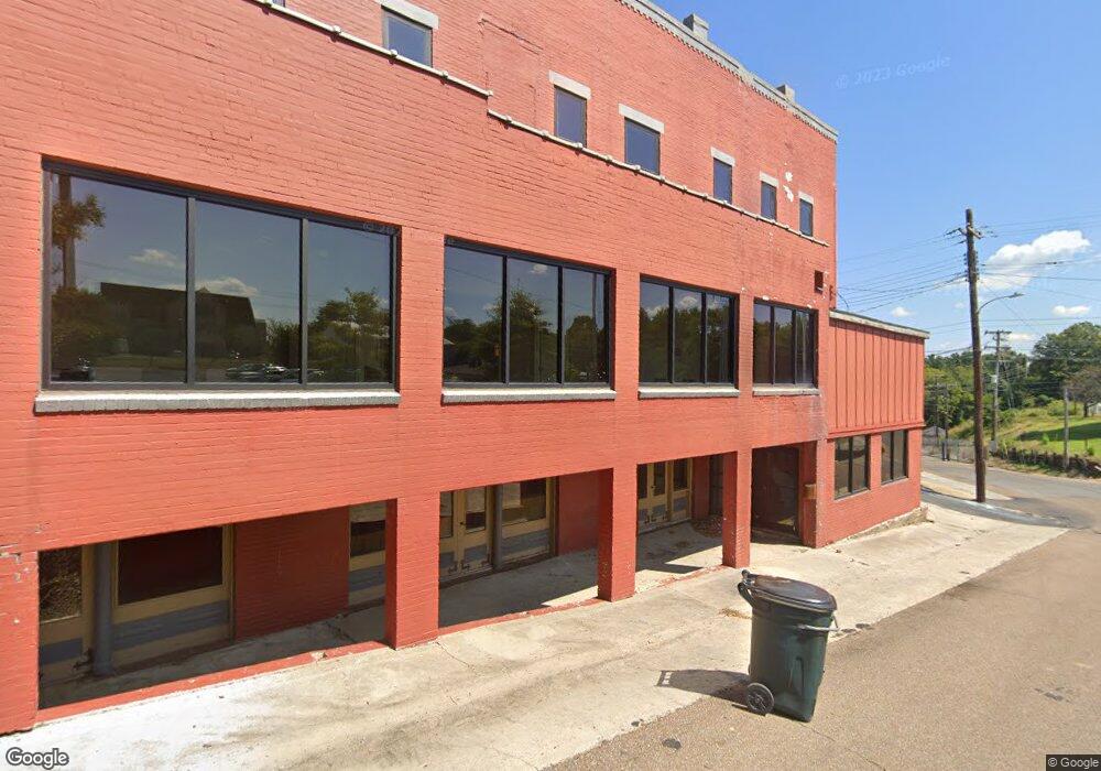
4154 Highway 19 W Ripley, TN 38063
Estimated Value: $538,000 - $637,000
--
Bed
4
Baths
5,268
Sq Ft
$108/Sq Ft
Est. Value
About This Home
This home is located at 4154 Highway 19 W, Ripley, TN 38063 and is currently estimated at $568,073, approximately $107 per square foot. 4154 Highway 19 W is a home located in Lauderdale County with nearby schools including Ripley Primary School, Ripley Elementary School, and Ripley Middle School.
Ownership History
Date
Name
Owned For
Owner Type
Purchase Details
Closed on
Jan 27, 2025
Sold by
Barham Michael and Barham Crystal
Bought by
Vierra Antonia
Current Estimated Value
Purchase Details
Closed on
May 13, 2005
Bought by
Barham Michael
Home Financials for this Owner
Home Financials are based on the most recent Mortgage that was taken out on this home.
Original Mortgage
$40,590
Interest Rate
5.8%
Mortgage Type
New Conventional
Purchase Details
Closed on
May 25, 1988
Bought by
Barham Helen
Create a Home Valuation Report for This Property
The Home Valuation Report is an in-depth analysis detailing your home's value as well as a comparison with similar homes in the area
Home Values in the Area
Average Home Value in this Area
Purchase History
| Date | Buyer | Sale Price | Title Company |
|---|---|---|---|
| Vierra Antonia | $512,500 | None Listed On Document | |
| Barham Michael | $20,000 | -- | |
| Barham Helen | -- | -- |
Source: Public Records
Mortgage History
| Date | Status | Borrower | Loan Amount |
|---|---|---|---|
| Previous Owner | Barham Helen | $40,590 |
Source: Public Records
Tax History Compared to Growth
Tax History
| Year | Tax Paid | Tax Assessment Tax Assessment Total Assessment is a certain percentage of the fair market value that is determined by local assessors to be the total taxable value of land and additions on the property. | Land | Improvement |
|---|---|---|---|---|
| 2024 | $3,119 | $122,825 | $5,400 | $117,425 |
| 2023 | $3,119 | $122,825 | $5,400 | $117,425 |
| 2022 | $3,119 | $122,825 | $5,400 | $117,425 |
| 2021 | $3,120 | $122,825 | $5,400 | $117,425 |
| 2020 | $3,051 | $122,825 | $5,400 | $117,425 |
| 2019 | $3,051 | $103,275 | $4,250 | $99,025 |
| 2018 | $3,051 | $103,275 | $4,250 | $99,025 |
| 2017 | $3,072 | $103,275 | $4,250 | $99,025 |
| 2016 | $3,072 | $103,275 | $4,250 | $99,025 |
| 2015 | $3,225 | $103,275 | $4,250 | $99,025 |
| 2014 | $3,225 | $111,200 | $4,475 | $106,725 |
Source: Public Records
Map
Nearby Homes
- 65 Lightfoot Luckett Rd
- 224 Mary Lynn Ave
- 2902 Arp Central Rd
- 2767 Arp Central Rd
- 0000 Arp Central Rd
- 493 U S Highway 51
- LOT 3 U S Highway 51
- LOT 2 U S Highway 51
- 0 U S 51
- 33 U S 51
- 32 U S 51
- 167 Caldwell Rd
- 1040 Barlow Rd
- 357 Chisholm Lake Rd
- 480 Chisholm Lake Rd
- 112 York Commons
- 4638 Asbury Glimp Rd
- 109 Walnut Ridge
- 108 Walnut Ridge
- 100 Raven Hill Ln
- 4155 Highway 19 W
- 4261 Highway 19 W
- 4111 Highway 19 W
- 4058 Highway 19 W
- 4290 Highway 19 W
- 4295 Highway 19 W
- 4225 Highway 19 W
- 2143 Grimes Store Rd
- 2235 Grimes Store Rd
- 4033 Highway 19 W
- 3990 Highway 19 W
- 0 Turkey Hill Rd
- 4243 Arp Central Rd
- 3967 Highway 19 W
- 2195 Grimes Store Rd
- 4309 Highway 19 W
- 4362 Highway 19 W
- 4314 Arp Central Rd
- 4075 Arp Central Rd
- 4403 Highway 19 W
