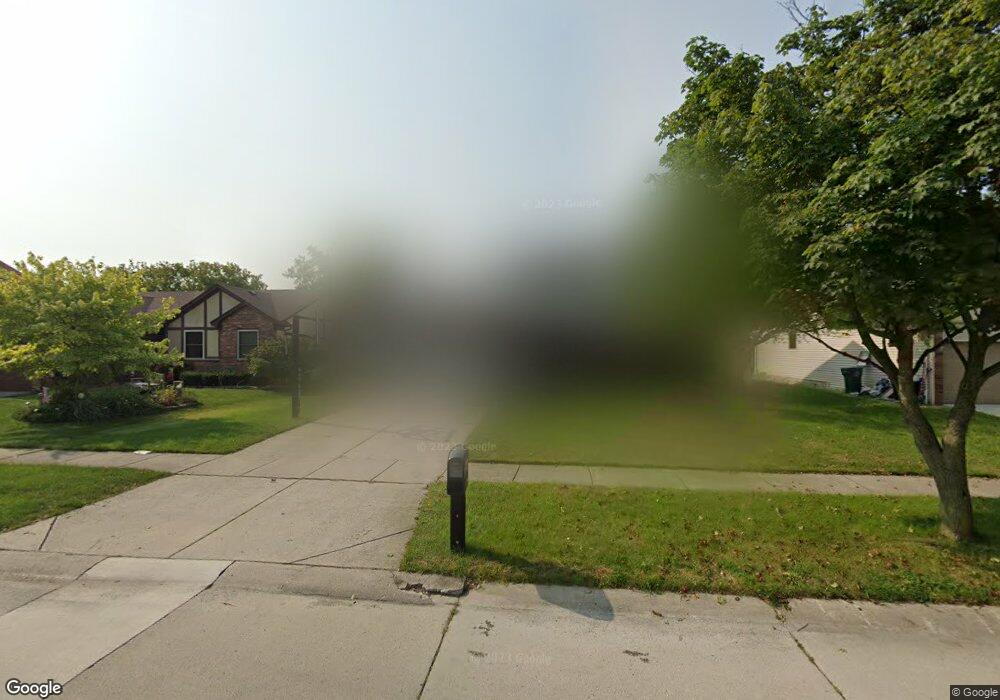
41555 SiMcOe Dr Unit Bldg-Unit Canton, MI 48188
Estimated Value: $368,000 - $378,000
Studio
2
Baths
1,688
Sq Ft
$220/Sq Ft
Est. Value
About This Home
This home is located at 41555 SiMcOe Dr Unit Bldg-Unit, Canton, MI 48188 and is currently estimated at $371,568, approximately $220 per square foot. 41555 SiMcOe Dr Unit Bldg-Unit is a home located in Wayne County with nearby schools including Canton High School, Salem High School, and Plymouth High School.
Ownership History
Date
Name
Owned For
Owner Type
Purchase Details
Closed on
Jan 31, 2018
Sold by
Johnson Scott E and Johnson Sherryl L
Bought by
Shooshanian Rachel
Current Estimated Value
Purchase Details
Closed on
May 6, 2005
Sold by
Katynski Andrew and Katynski Debra R
Bought by
Johnson Scott E
Purchase Details
Closed on
Nov 16, 2001
Sold by
Eden Jeremy F
Bought by
Fowler Debra R
Purchase Details
Closed on
Oct 9, 1998
Sold by
Rosin Beth A and Rosin Gregory P
Bought by
Eden Jeremy
Create a Home Valuation Report for This Property
The Home Valuation Report is an in-depth analysis detailing your home's value as well as a comparison with similar homes in the area
Home Values in the Area
Average Home Value in this Area
Purchase History
| Date | Buyer | Sale Price | Title Company |
|---|---|---|---|
| Shooshanian Rachel | $220,000 | Ata National Title Group Llc | |
| Johnson Scott E | $220,000 | Multiple | |
| Fowler Debra R | $184,500 | -- | |
| Eden Jeremy | $172,000 | -- |
Source: Public Records
Tax History
| Year | Tax Paid | Tax Assessment Tax Assessment Total Assessment is a certain percentage of the fair market value that is determined by local assessors to be the total taxable value of land and additions on the property. | Land | Improvement |
|---|---|---|---|---|
| 2025 | $2,515 | $179,900 | $0 | $0 |
| 2024 | $2,444 | $156,600 | $0 | $0 |
| 2023 | $2,330 | $149,600 | $0 | $0 |
| 2022 | $2,219 | $129,100 | $0 | $0 |
| 2021 | $4,932 | $125,100 | $0 | $0 |
| 2020 | $4,871 | $117,800 | $0 | $0 |
| 2019 | $4,783 | $115,110 | $0 | $0 |
| 2018 | $1,487 | $109,030 | $0 | $0 |
| 2017 | $3,725 | $106,700 | $0 | $0 |
| 2016 | $3,303 | $107,700 | $0 | $0 |
| 2015 | $8,170 | $93,170 | $0 | $0 |
| 2013 | $7,915 | $82,560 | $0 | $0 |
| 2010 | -- | $82,680 | $38,381 | $44,299 |
Source: Public Records
Map
Nearby Homes
- 41512 Pheasant Creek Dr
- 41587 Pheasant Creek Dr
- 41777 Princess Dr
- 41226 Southwind Dr Unit 138
- 42264 Chase Dr
- 41060 Northwind Dr
- 1381 Hampshire Dr
- 1402 Heritage Dr
- 1878 Otter Pond Ln
- 1530 Fairfax Dr
- 1803 Pinecroft Dr Unit 171
- 2006 S Lilley Rd
- 42714 Lilley Pointe Dr Unit 213
- 42739 Lilley Pointe Dr Unit 119
- 2393 Arcadia Dr
- 352 Cherry Hill Pointe Dr Unit 33
- 42216 Metaline Dr
- 0 Cherry Hill Unit 16924
- 2087 Arcadia Dr Unit 65
- 1890 Cedar Valley Dr Unit 38
- 41555 SiMcOe Dr
- 41543 SiMcOe Dr
- 41579 SiMcOe Dr
- 41531 SiMcOe Dr
- 41548 Pheasant Creek Dr
- 41560 Pheasant Creek Dr
- 41536 Pheasant Creek Dr
- 41572 Pheasant Creek Dr
- 41591 SiMcOe Dr
- 41546 SiMcOe Dr
- 760 Sutten Dr
- 41519 SiMcOe Dr
- 41532 SiMcOe Dr
- 41584 Pheasant Creek Dr
- 41524 Pheasant Creek Dr
- 41522 SiMcOe Dr
- 41599 SiMcOe Dr
- 750 Sutten Dr
- 41507 SiMcOe Dr
- 767 Sorel Dr
Your Personal Tour Guide
Ask me questions while you tour the home.