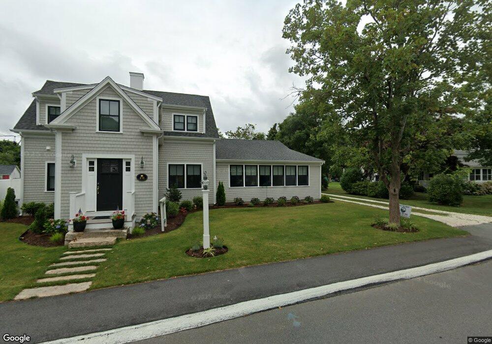
416 Barlows Landing Rd Pocasset, MA 02559
Pocasset NeighborhoodEstimated Value: $1,082,000 - $1,766,458
4
Beds
2
Baths
1,701
Sq Ft
$838/Sq Ft
Est. Value
About This Home
This home is located at 416 Barlows Landing Rd, Pocasset, MA 02559 and is currently estimated at $1,425,365, approximately $837 per square foot. 416 Barlows Landing Rd is a home located in Barnstable County with nearby schools including Bourne High School and Cadence Academy Preschool - Bourne.
Ownership History
Date
Name
Owned For
Owner Type
Purchase Details
Closed on
Apr 29, 2016
Sold by
416 Barlows Landing Rd and 416 Struzik
Bought by
Sullivan Terence W and Sullivan Gail K
Current Estimated Value
Home Financials for this Owner
Home Financials are based on the most recent Mortgage that was taken out on this home.
Original Mortgage
$228,000
Interest Rate
3%
Mortgage Type
Adjustable Rate Mortgage/ARM
Purchase Details
Closed on
Mar 9, 2011
Sold by
Struzik Monica S and Sullivan Realty Trust
Bought by
Struzik Jerry and Sullivan Terence W
Purchase Details
Closed on
Dec 10, 1991
Sold by
Anderson Richard L and Anderson Joan M
Bought by
Sullivan Eleanor W
Home Financials for this Owner
Home Financials are based on the most recent Mortgage that was taken out on this home.
Original Mortgage
$100,000
Interest Rate
8.82%
Mortgage Type
Purchase Money Mortgage
Create a Home Valuation Report for This Property
The Home Valuation Report is an in-depth analysis detailing your home's value as well as a comparison with similar homes in the area
Home Values in the Area
Average Home Value in this Area
Purchase History
| Date | Buyer | Sale Price | Title Company |
|---|---|---|---|
| Sullivan Terence W | -- | -- | |
| Sullivan Terence W | -- | -- | |
| Struzik Jerry | $210,000 | -- | |
| Struzik Jerry | $210,000 | -- | |
| Sullivan Eleanor W | $180,000 | -- | |
| Sullivan Eleanor W | $180,000 | -- |
Source: Public Records
Mortgage History
| Date | Status | Borrower | Loan Amount |
|---|---|---|---|
| Previous Owner | Sullivan Terence W | $228,000 | |
| Previous Owner | Sullivan Eleanor W | $100,000 |
Source: Public Records
Tax History Compared to Growth
Tax History
| Year | Tax Paid | Tax Assessment Tax Assessment Total Assessment is a certain percentage of the fair market value that is determined by local assessors to be the total taxable value of land and additions on the property. | Land | Improvement |
|---|---|---|---|---|
| 2025 | $10,368 | $1,327,500 | $332,900 | $994,600 |
| 2024 | $6,378 | $795,300 | $317,000 | $478,300 |
| 2023 | $5,394 | $612,300 | $280,500 | $331,800 |
| 2022 | $5,057 | $501,200 | $225,000 | $276,200 |
| 2021 | $4,935 | $458,200 | $204,800 | $253,400 |
| 2020 | $4,879 | $454,300 | $202,800 | $251,500 |
| 2019 | $4,641 | $441,600 | $202,800 | $238,800 |
| 2018 | $4,444 | $421,600 | $193,200 | $228,400 |
| 2017 | $4,138 | $401,700 | $191,400 | $210,300 |
| 2016 | $3,940 | $387,800 | $191,300 | $196,500 |
| 2015 | $3,905 | $387,800 | $191,300 | $196,500 |
Source: Public Records
Map
Nearby Homes
- 420 Barlows Landing Rd
- 414 Barlows Landing Rd
- 419 Barlows Landing Rd
- 415 Barlows Landing Rd
- 424 Barlows Landing Rd
- 450 Barlows Landing
- 425 Barlows Landing Rd
- 428 Barlows Landing Rd
- 410 Barlows Landing Rd
- 10 Kendrick Ln
- 409 Barlows Landing Rd
- 429 Barlows Landing Rd
- 430 Barlows Landing Rd
- 404 Barlows Landing Rd
- 14 Kenwood Rd
- 6 Kenwood Rd
- 0 Wheeler Dr
- 7 Wheeler Dr
- 405 Barlows Landing Rd
- 14 Kendrick Ln