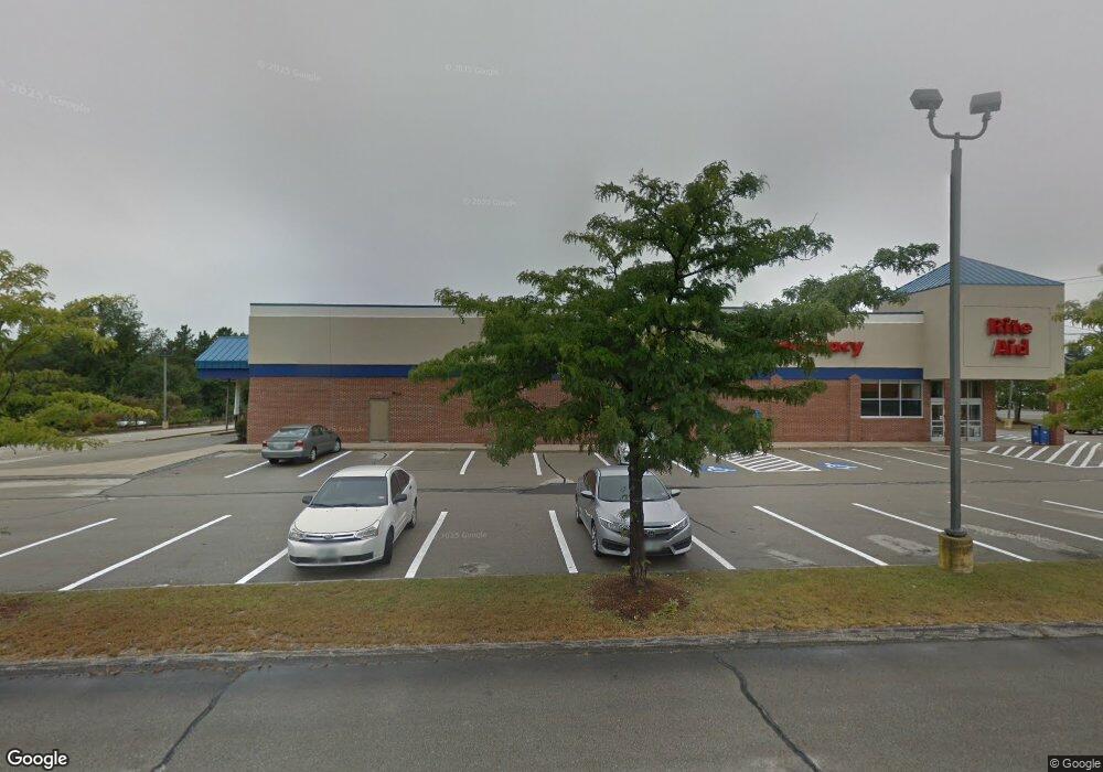
416 Daniel Webster Hwy Unit U Merrimack, NH 03054
Estimated Value: $3,147,008
--
Bed
2
Baths
30,000
Sq Ft
$105/Sq Ft
Est. Value
About This Home
This home is located at 416 Daniel Webster Hwy Unit U, Merrimack, NH 03054 and is currently estimated at $3,147,008, approximately $104 per square foot. 416 Daniel Webster Hwy Unit U is a home located in Hillsborough County with nearby schools including Thorntons Ferry School, James Mastricola Upper Elementary School, and Merrimack Middle School.
Ownership History
Date
Name
Owned For
Owner Type
Purchase Details
Closed on
May 27, 2011
Sold by
Labrie Adrien A
Bought by
City Bay Realty Llc
Current Estimated Value
Home Financials for this Owner
Home Financials are based on the most recent Mortgage that was taken out on this home.
Original Mortgage
$1,150,000
Interest Rate
4.94%
Mortgage Type
Commercial
Create a Home Valuation Report for This Property
The Home Valuation Report is an in-depth analysis detailing your home's value as well as a comparison with similar homes in the area
Home Values in the Area
Average Home Value in this Area
Purchase History
| Date | Buyer | Sale Price | Title Company |
|---|---|---|---|
| City Bay Realty Llc | $1,350,000 | -- |
Source: Public Records
Mortgage History
| Date | Status | Borrower | Loan Amount |
|---|---|---|---|
| Open | City Bay Realty Llc | $1,550,000 | |
| Closed | City Bay Realty Llc | $1,150,000 |
Source: Public Records
Tax History Compared to Growth
Tax History
| Year | Tax Paid | Tax Assessment Tax Assessment Total Assessment is a certain percentage of the fair market value that is determined by local assessors to be the total taxable value of land and additions on the property. | Land | Improvement |
|---|---|---|---|---|
| 2024 | $43,799 | $2,116,900 | $523,500 | $1,593,400 |
| 2023 | $41,174 | $2,116,900 | $523,500 | $1,593,400 |
| 2022 | $43,719 | $2,515,500 | $523,500 | $1,992,000 |
| 2021 | $43,191 | $2,515,500 | $523,500 | $1,992,000 |
| 2020 | $42,059 | $1,748,100 | $357,600 | $1,390,500 |
| 2019 | $42,182 | $1,748,100 | $357,600 | $1,390,500 |
| 2018 | $42,164 | $1,748,100 | $357,600 | $1,390,500 |
| 2017 | $40,853 | $1,748,100 | $357,600 | $1,390,500 |
| 2016 | $39,839 | $1,748,100 | $357,600 | $1,390,500 |
| 2015 | $46,036 | $1,862,300 | $455,100 | $1,407,200 |
| 2014 | $44,863 | $1,862,300 | $455,100 | $1,407,200 |
| 2013 | $40,355 | $1,687,800 | $455,100 | $1,232,700 |
Source: Public Records
Map
Nearby Homes
- 6 Oak St
- 16 Penacook Terrace
- 10 Cascade Cir
- 17 Echo Shore Dr
- 2 Bishop St
- 33 Winrow Dr
- 28 Winrow Dr
- 15 Joston Dr
- 12 E Ridge Rd Unit A
- 27 Pondview Dr
- 23 Pondview Dr
- 2 Killian Ct
- 343 Charles Bancroft Hwy
- 33 Hillside Terrace
- 315 Charles Bancroft Hwy
- 42 Cota Rd
- 5 Jade Rd
- 12 Candy Ln
- 12 Clinton Ct
- 10 Kingston Ct Unit 10
- 416 Daniel Webster Hwy
- 416 Daniel Webster Hwy Unit E
- 409 Daniel Webster Hwy
- 404 Daniel Webster Hwy
- 6 Railroad Ave
- 11 Abenaki Cir
- 8 Hearth Ct
- 10 Hearth Ct
- 6 Hearth Ct
- 2 Hearth Ct
- 21 Abenaki Cir
- 42 Abenaki Cir
- 34 Abenaki Cir
- 36 Abenaki Cir
- 38 Abenaki Cir
- 44 Abenaki Cir
- 39 Abenaki Cir
- 37 Abenaki Cir
- 32 Abenaki Cir
- 12 Hearth Ct